Firetower View

Little Moose Lake is a lake east-southeast of Old Forge in Herkimer County, New York. It drains south via Little Moose Outlet which flows into the South Branch Moose River. Panther Lake is located south of Little Moose Lake. It was privately owned until about 25 years ago. It is passed by the Wilson Ridge Trail, which runs south from the Cedar River - Limekiln Lake Road.

Watch Hill on Indian Lake is a popular, family-friendly foothill mountain located in the Jessup River Wild Forest near Sabael and the town of Indian Lake in the central Adirondacks of New York. It is highly regarded as a rewarding "short hike with big views," making it an excellent alternative to the much steeper, crowded trails nearby. The first section follows a flat, old logging road before converting into a footpath with a few brief, fun scrambles over steep rock lips. The trail features two distinct open rock faces near the top. The first gives a direct, striking view westward toward the massive Griffin Brook Slide on Snowy Mountain. Moving another tenth of a mile brings you to the second ledge, which opens up to views of the southern end of Indian Lake, John Mack Bay, and Squaw Mountain.
Summit Route: A 2.2-mile round trip with a modest 380-foot elevation gain to the peak's rocky ledges.
Lake Shore Route: A 3.2 to 3.7-mile out-and-back trip that includes a steep 480-foot drop from the summit down to a rocky beach on the western shore of Indian Lake.
")
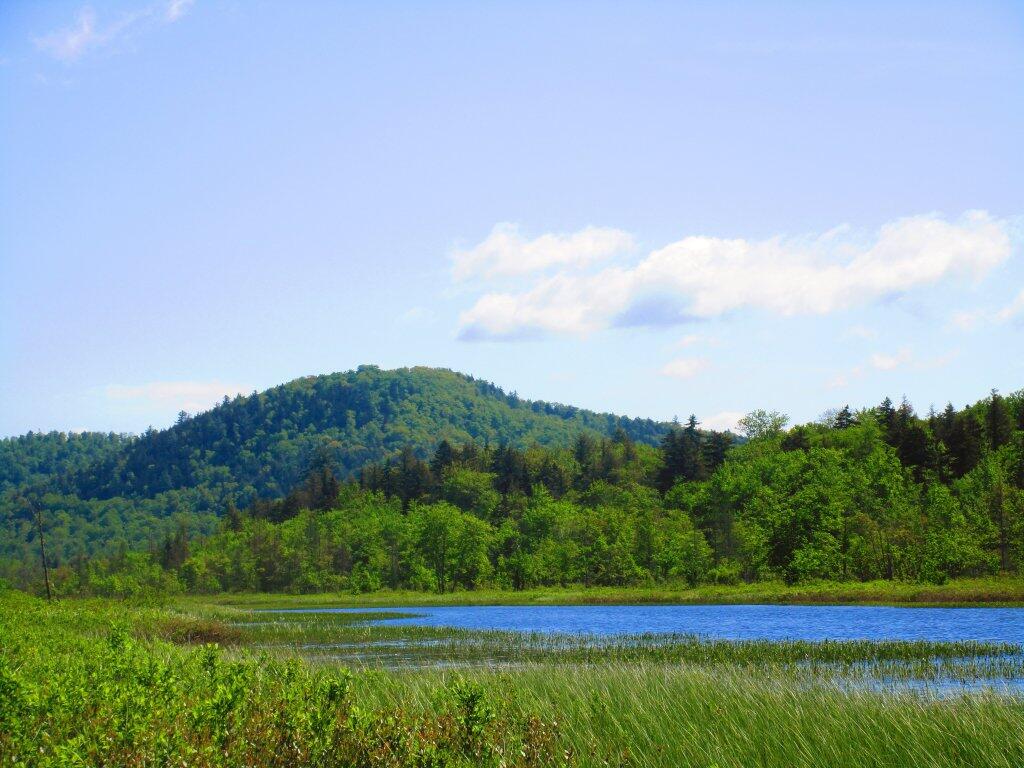
Looking out at Rift Hill from across the lake.
Thursday June 4, 2020 — Spectulator