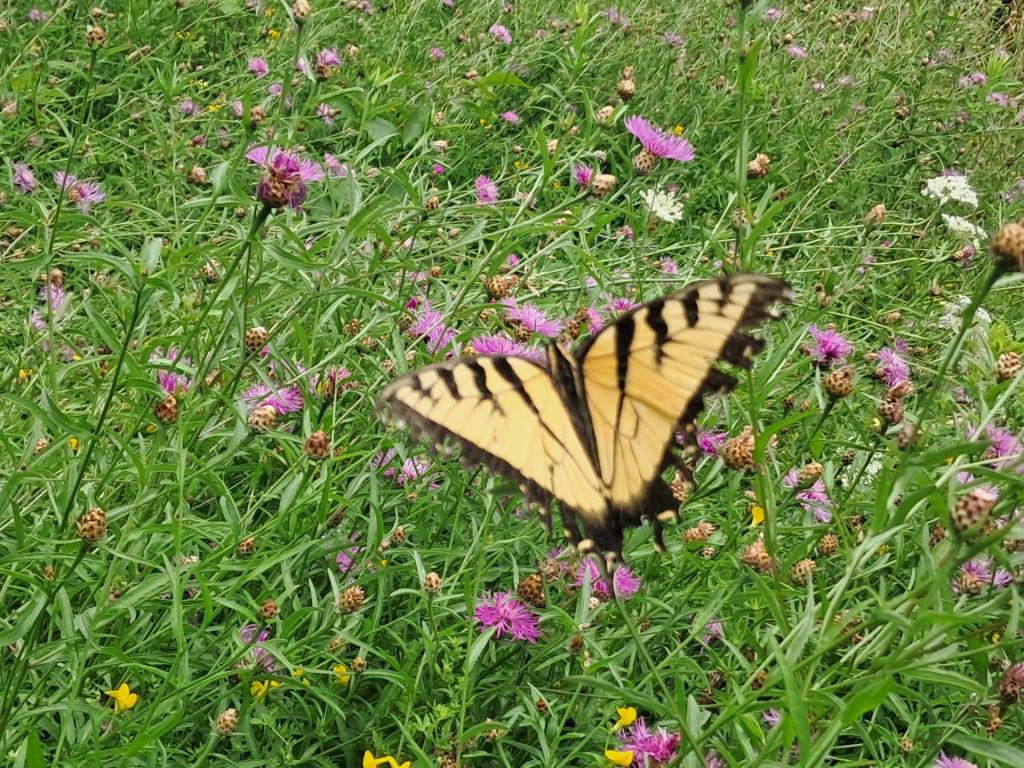
Untitled Andy | August 2, 2026 Sunday August 2, 2026 — Finger Lakes National Forest — Foster Pond Camping Area 🗺 — Gorge Trail 🗺— PDF with All Maps 📚
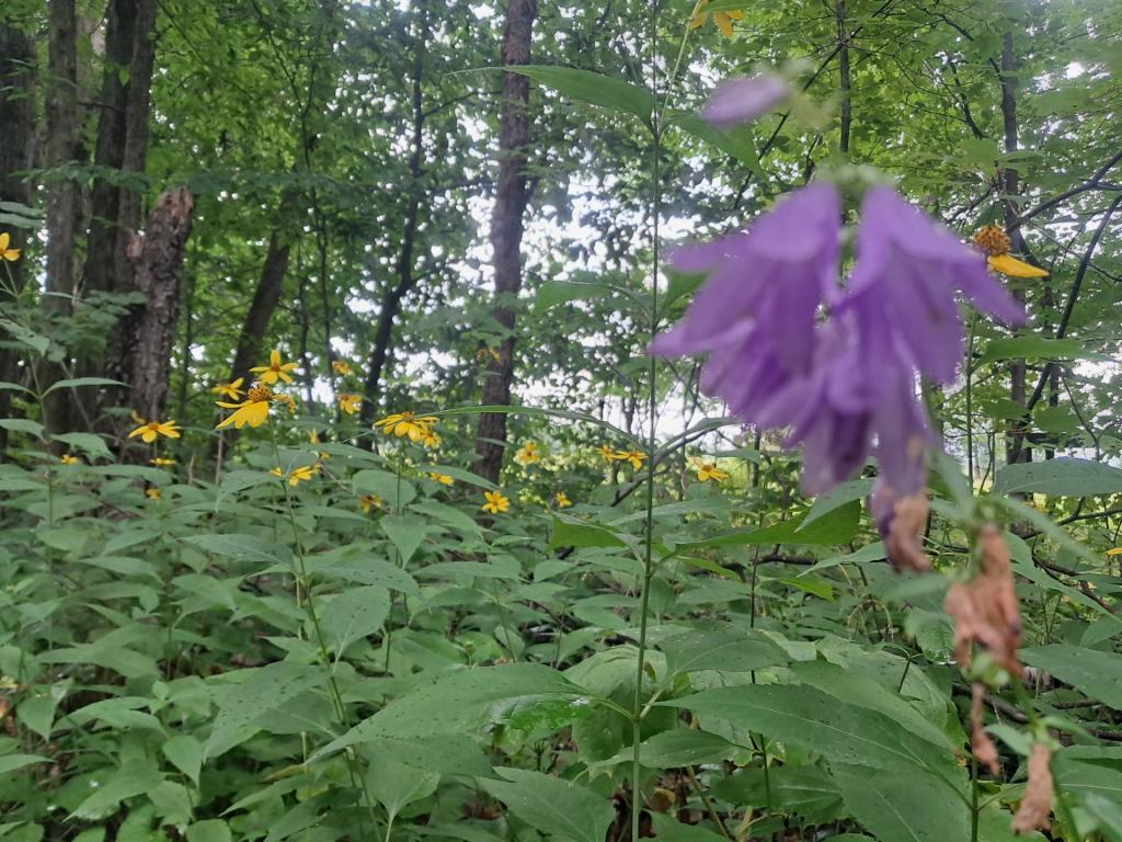
Untitled Andy | August 2, 2026 Sunday August 2, 2026 — Finger Lakes National Forest — Foster Pond Camping Area 🗺 — Gorge Trail 🗺— PDF with All Maps 📚
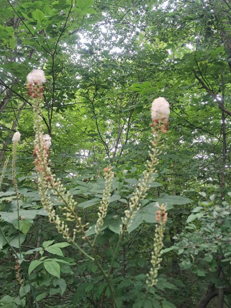
Untitled Andy | August 2, 2026 Sunday August 2, 2026 — Finger Lakes National Forest — Foster Pond Camping Area 🗺 — Gorge Trail 🗺— PDF with All Maps 📚
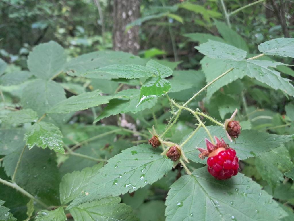
Untitled Andy | August 2, 2026 Sunday August 2, 2026 — Finger Lakes National Forest — Foster Pond Camping Area 🗺 — Gorge Trail 🗺— PDF with All Maps 📚
Untitled Andy | August 2, 2026 Sunday August 2, 2026 — Finger Lakes National Forest — Foster Pond Camping Area 🗺 — Gorge Trail 🗺— PDF with All Maps 📚