
Black Mountain
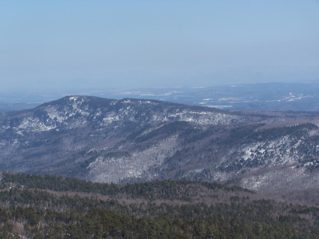
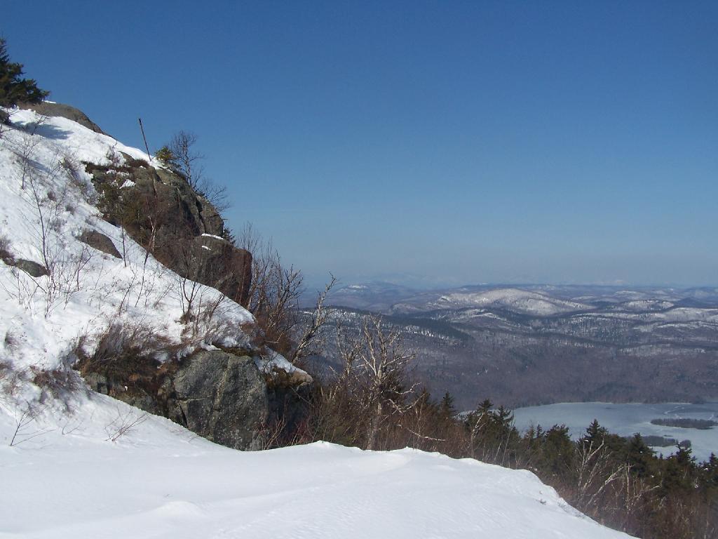
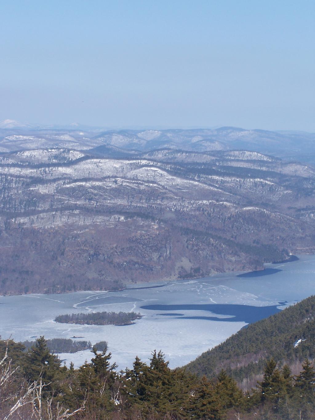
Black Mountain is a three mile hike from Pike Brook Road via a snowmobile trail. The snowmobile trail is a nice hike or ski and follows an old woods road to the summit. The summit contains an old firetower this is fenced off for DEC radio equipment, along with a picnic table, outhouse, and old ranger's cabin.
If you take the steeper trail down the mountain you will arrive at Black Mountain Pond with a Lean-To and Outhouse, and loop around to Lapland Pond, an older lean-to and outhouse on the shore of the lake. Trail blaze color underlays the trail routes on the map.