Display Full Screen - Control + Mouse to Pan, SHIFT and +/- to zoom, arrow keys pan around MapLibre GL map.
Huntersfield Mountain
Interactive 3D Map of Huntersfield Mountain from Jim Clevelan Road to the summit where a lean-to is located.

Interactive 3D Map of Huntersfield Mountain from Jim Clevelan Road to the summit where a lean-to is located.
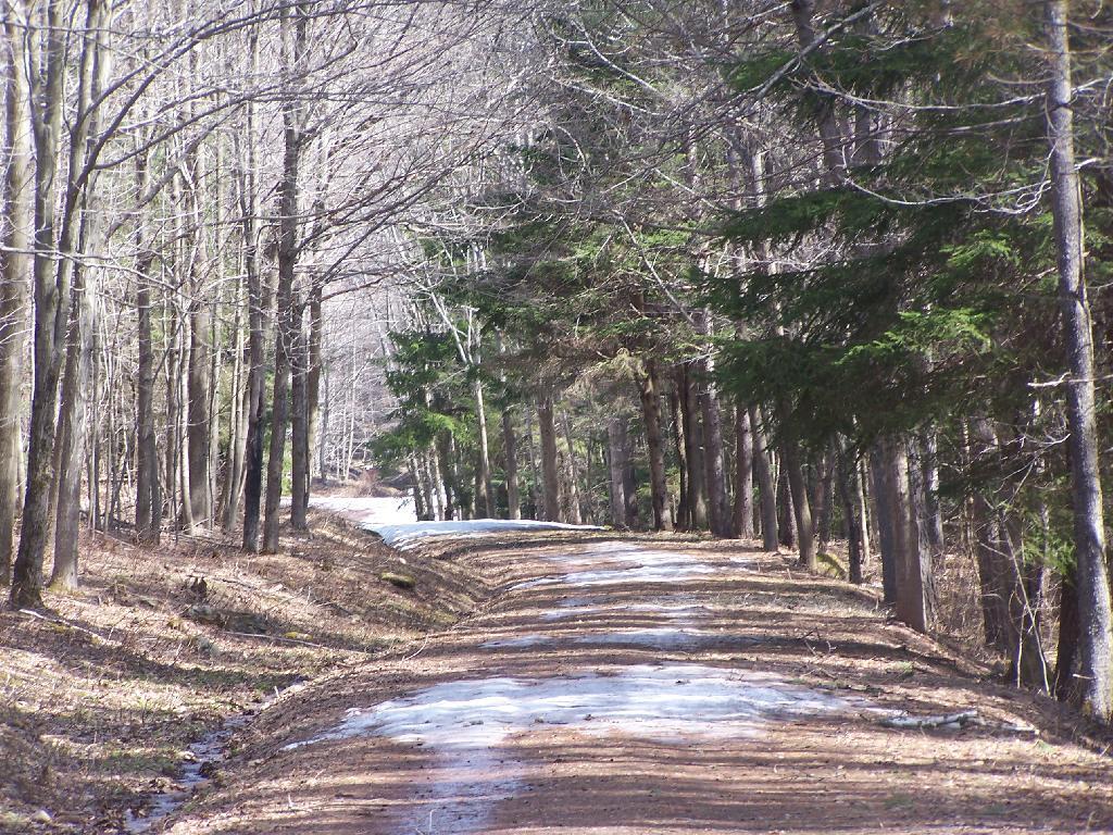
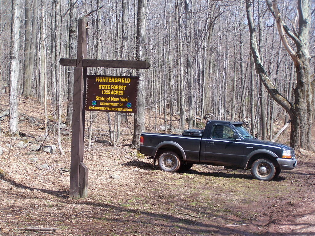
This is about as far as I got up Huntersfield Mountain Road on the south-end, before parking and deciding to hike the rest of way due to the snow on the road.
Saturday April 3, 2010 — Huntersfield Mountain — Huntersfield State Forest 🗺