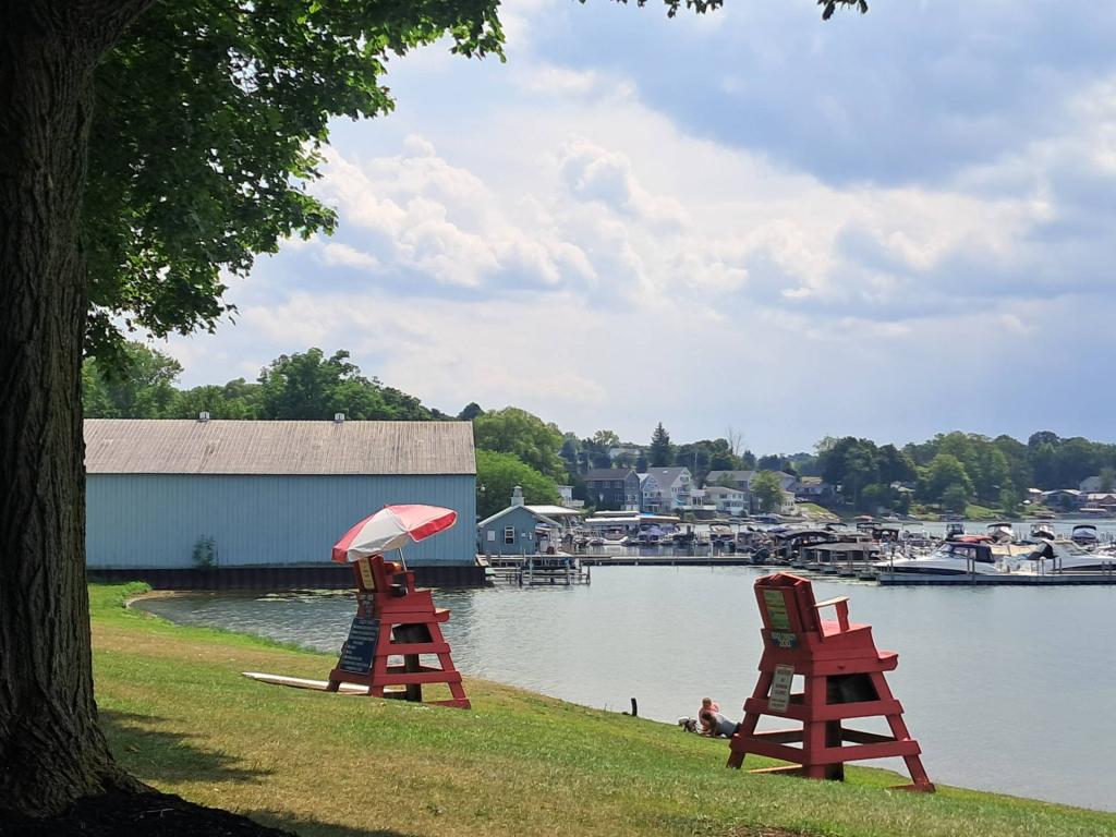
Keuka Lake 📍

🖼️ Photos

AES Greenridge LiDAR

Back when AES Greenridge first went online, they dumped the coal ash in settling ponds along Seneca Lake. In later years, they, well the State of New York, decided it was a better to build a large coal ash landfill farther away from the lake and not dump it directly in the lake.

Terrain  AES Greenridge LiDAR

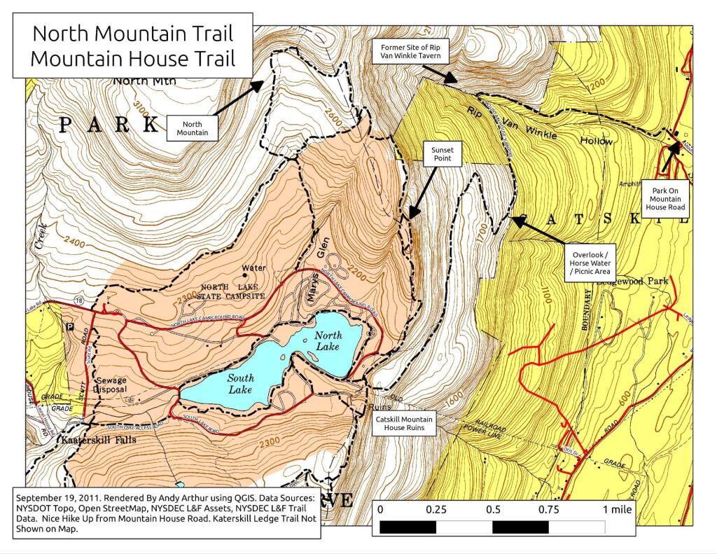
Map: Mountain House Trail and North Mountain
Map: Cod Pond Trailhead   Camping Opporunities

Keuka Lake Outlet Gorge

The gorge where Keuka Lake Outlet drops between Kueka Lake and Seneca Lake is quite impressive, dropping despite the hills around it rising.
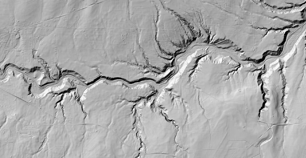
Keuka Lake Outlet Gorge

Map: Coyle Hill State Forest
Map: Windham High Peak

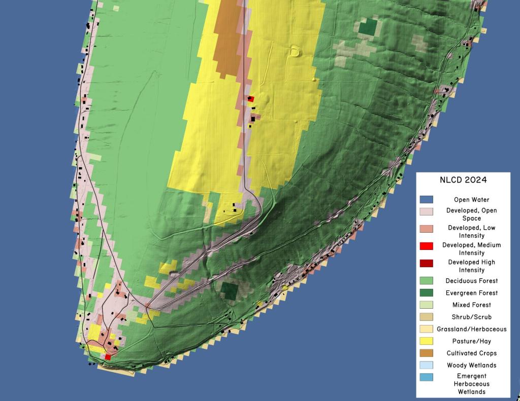
Kueka Lake – Land Cover

Kueka Lake is quite agricultural especially to the north of the lake, but to south of the lake, it's more forested, with hay and pasture dominating the landscape.

Untitled [Expires February 18 2025]

SVGZ Graphic: Central NY Population Density