Auger Falls 📍

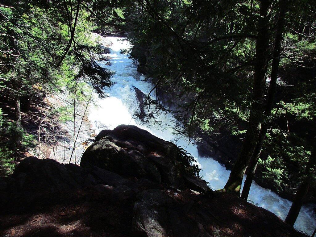
This 40 foot falls is at the beginning of a series of drops, plunges and cascades totaling over 100 feet though this narrow gorge lined with Hemlocks on the Sacandaga River. Many potholes can be seen along the edge of the gorge when the water level is low.

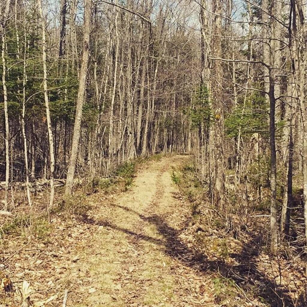
5.0 miles N. of Wells. From Wells, drive N on Rte 30 to the junction of Rte 30 & Rte 8. Continue another 1.7 miles on Rte 30 & turn right into a dirt parking area. Park and walk back towards Rte 30, and follow the old dirt road to the left, which parallels Rte 30. At the end of the road, look for the DEC register, marking the beginning of the trail. Follow the colored DEC trail markers for 0.3 mile to the top of the falls. You’ll hear the roar of the falls shortly after you start the hike.

http://www.adirondackexperience.com/recreation/hiking/auger-falls

Download the PDF Map Pack
🗺️ Maps 🖼️ Photos 📽️ Videos
SVGZ Graphic: Most Similiar Income Distributions to New York
SVGZ Graphic: Households Recieving Cash Welfare or Food Stamps
Thematic Map: NYS Electric Utility Service Territories Map
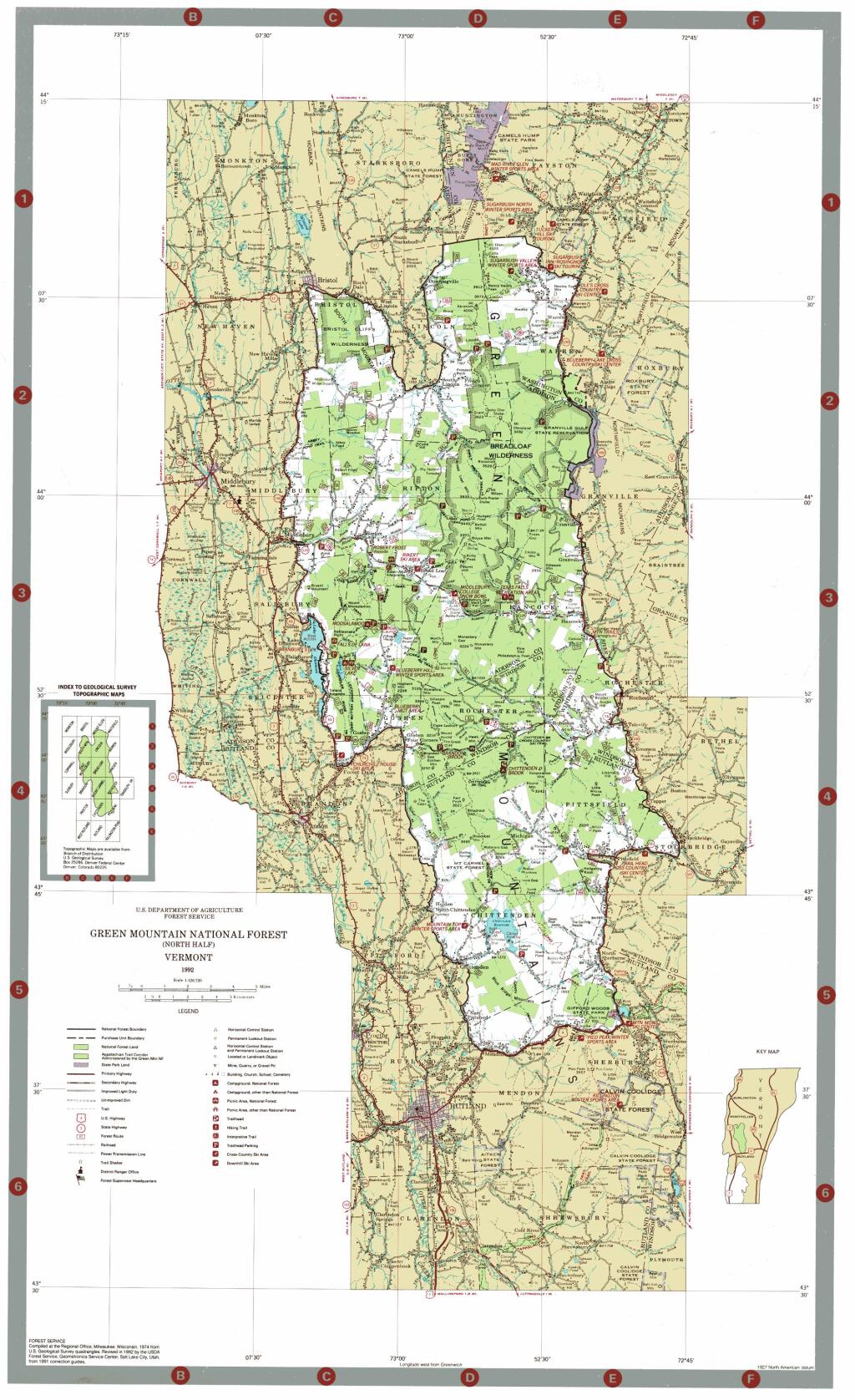
Map: Green Mountain National Forest North
Terrain Map: Happy World Milk Day!