Lower Switzkill Valley
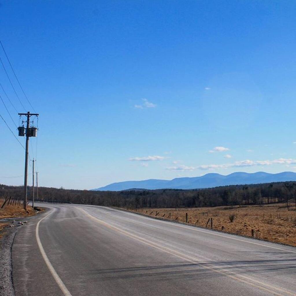
Taking a look across the Lower Switzkill Valley where the creek winds into Fox Creek outside of Berne. In the distance is Sickle Hill and the many farms that cover the valley.
Taking a look across the Lower Switzkill Valley where the creek winds into Fox Creek outside of Berne. In the distance is Sickle Hill and the many farms that cover the valley.

Here is a map showing properties in the Berne, NY sewer district based on assessment records.
An overlay of the Beers Map for Berne over a contemporary aerial photo.

While Berne has quite a bit of farming going on in the valleys, there is less agriculture going on there then to the north in Knox. A lot of the hillsides and upper elevation areas aren't great for farming, and even in the valleys, more of the land is used for pasture and hay production.