Blue Ridge Parkway 📍

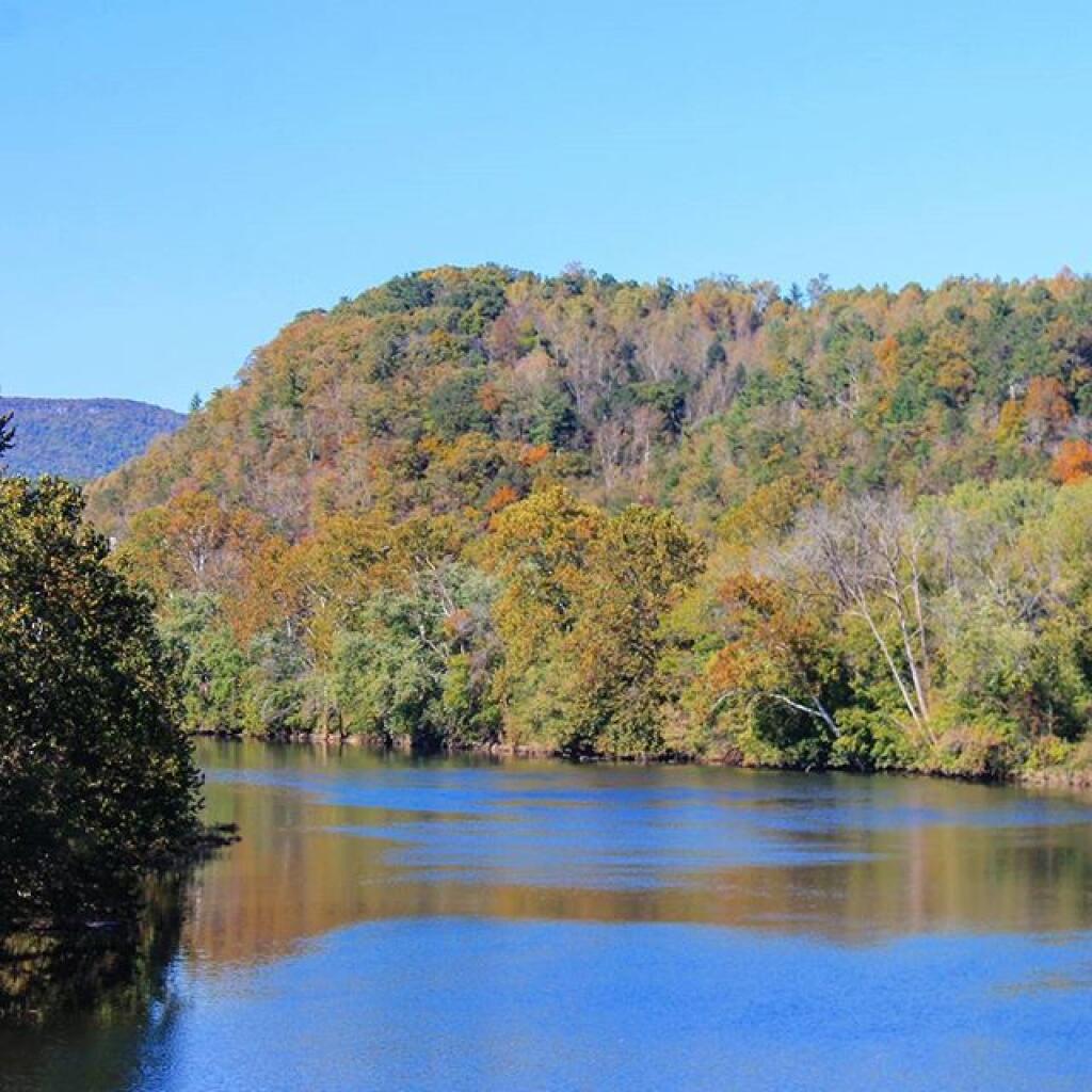
A Blue Ridge Parkway experience is unlike any other, a slow-paced and relaxing drive revealing stunning long-range vistas and close-up views of the rugged mountains and pastoral landscapes of the Appalachian Highlands. Protecting a diversity of plants and animals, the Parkway meanders for 469 miles, providing opportunities for enjoying all that makes this region of the country so special.

http://www.nps.gov/blri/index.htm

🖼️ Photos 📽️ Videos
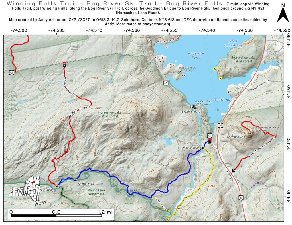
Map: Winding Falls Trail - Bog River Ski Trail - Bog River Falls
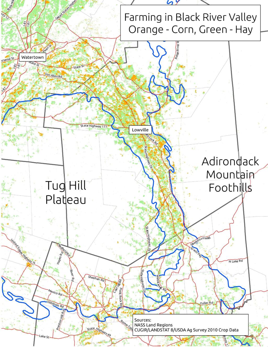
Thematic Map: The fertile lands of the Black River Valley are Surounded by Tug Hill and Adirondacks

Blue Ridge Parkway

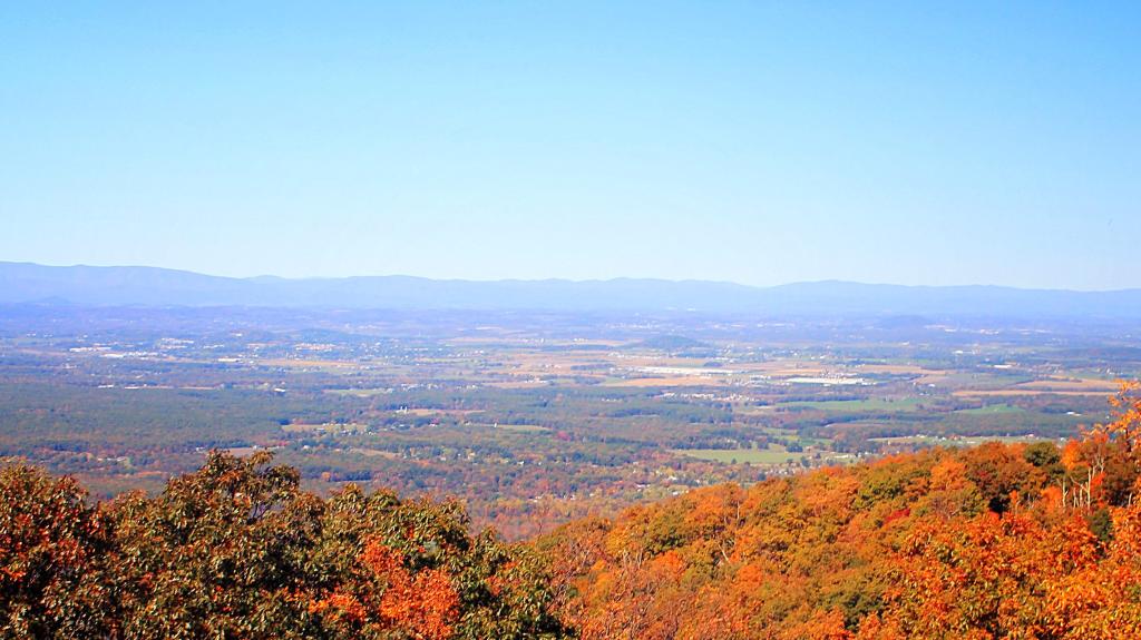
Outside of Stauton, Viriginia. I much prefer driving the Blue Ridge Parkway over Skyline Drive -- the road is straighter, the speed limit is generally faster, there ar emore places to pull over and it's much less developed.

Map: Chittening Pond Fishing Area
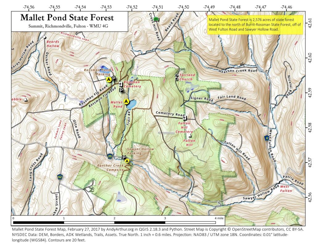
Map: Mallet Pond State Forest
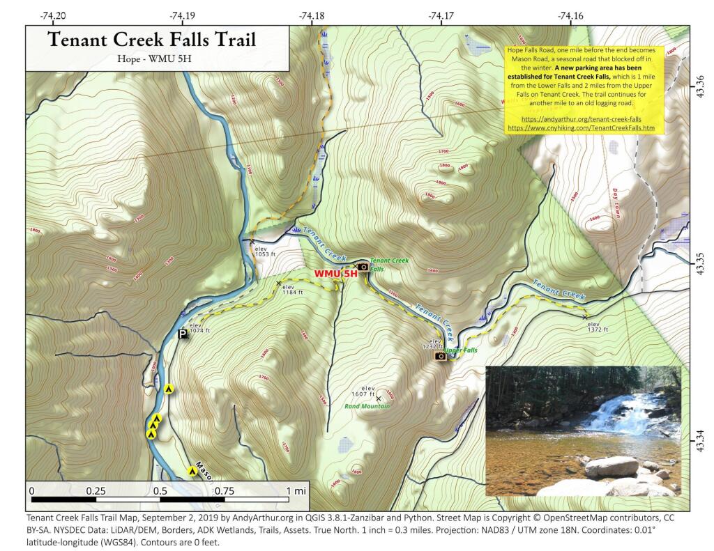
Map: Tenant Creek Falls Trail