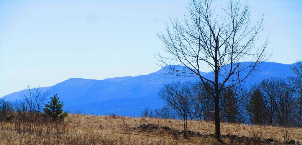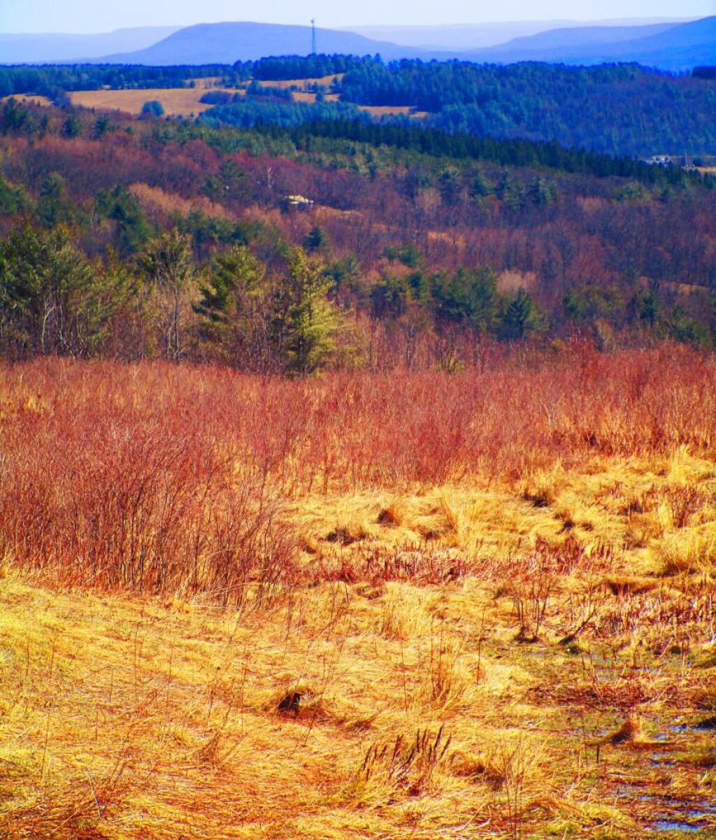
Cario Roundtop
Looking out at the Hillcross Parcel down towards the Catskills and Cario Roundtop.
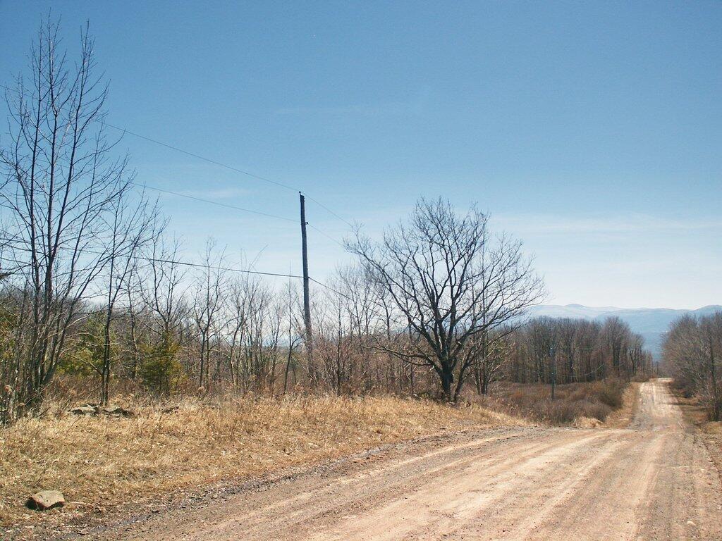
Saturday April 8, 2023 — Rensselearville State Forest
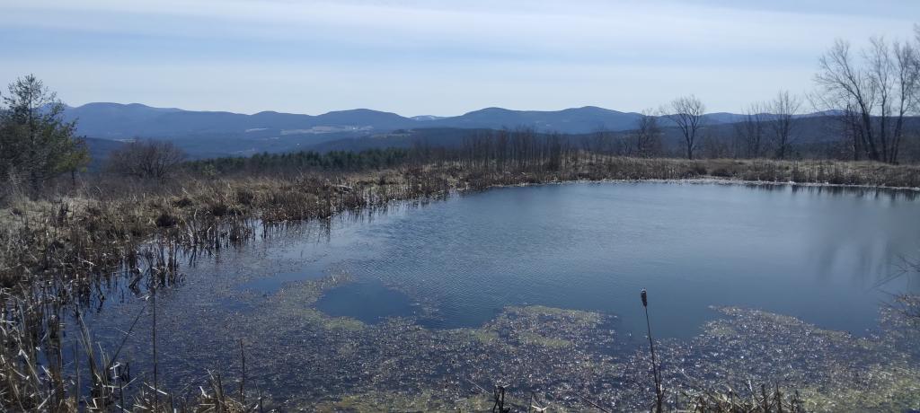
Looking out at the Hillcross Parcel down towards the Catskills and Cario Roundtop.
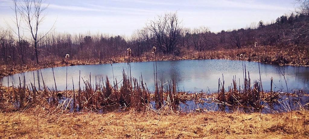
Saturday April 8, 2023 — Rensselearville State Forest