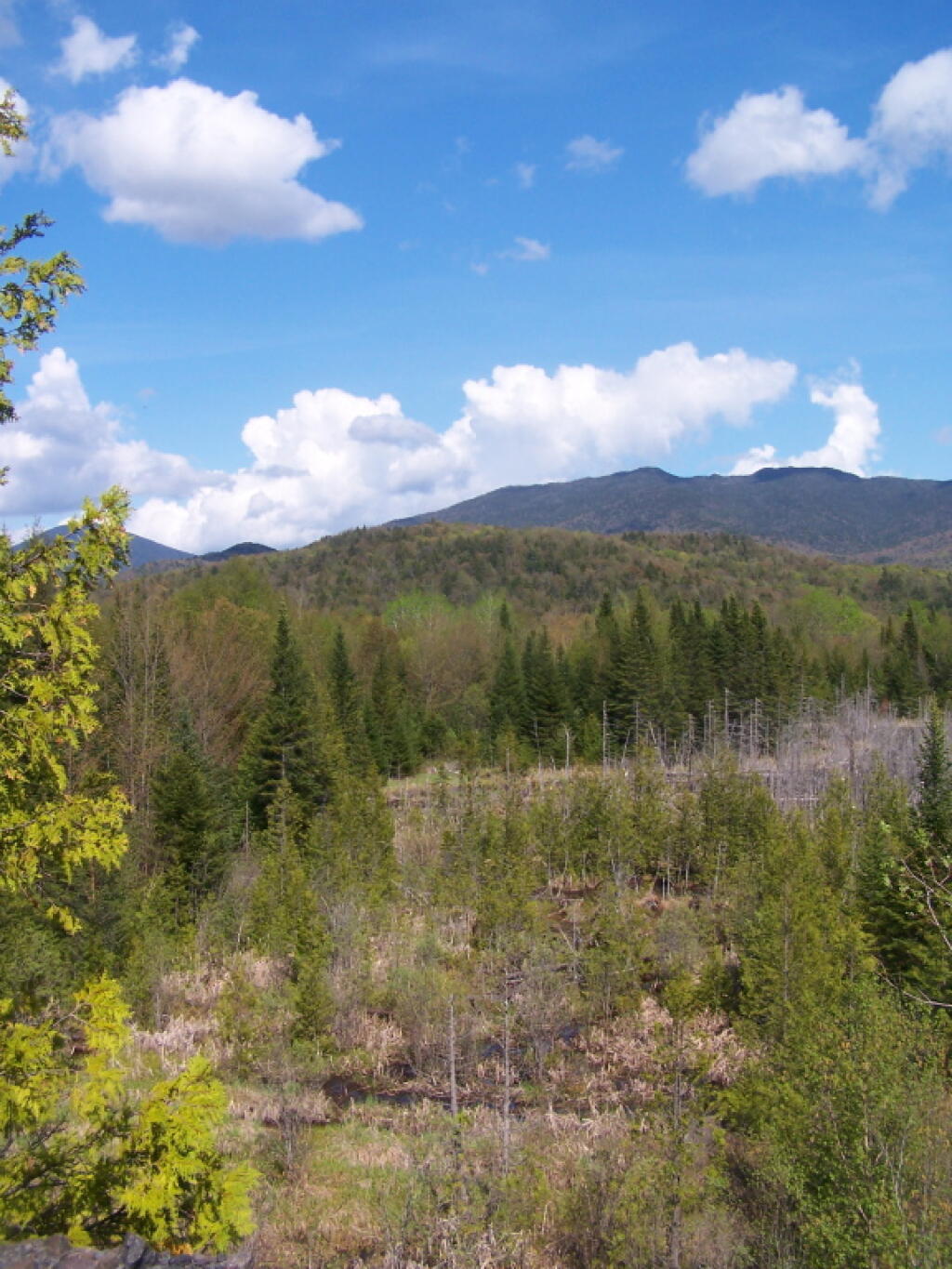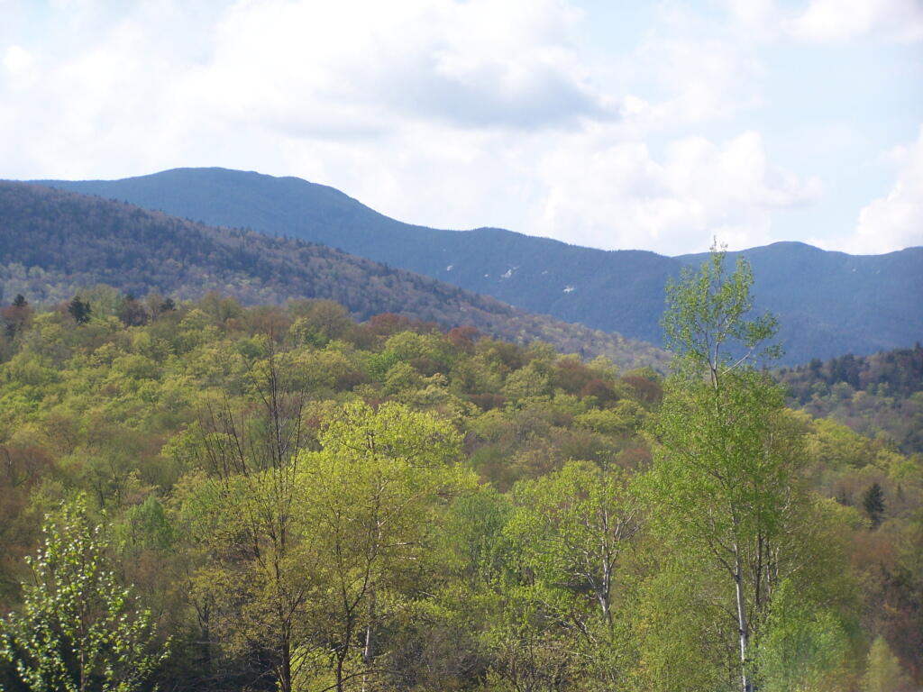
Santanoni Peak in Springtime
Again, taken from the road up the tailings pile.
Saturday May 21, 2011 — Tahawus

Again, taken from the road up the tailings pile.
Saturday May 21, 2011 — Tahawus
Along the trail to Lake Colden and ultimately the High Peaks of the Adirondacks.
Saturday May 21, 2011 — Tahawus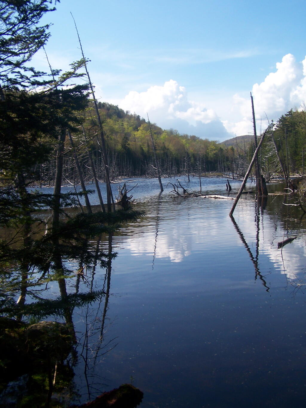
To one of the collapsed Tahawus Club Buildings.
Saturday May 21, 2011 — Tahawus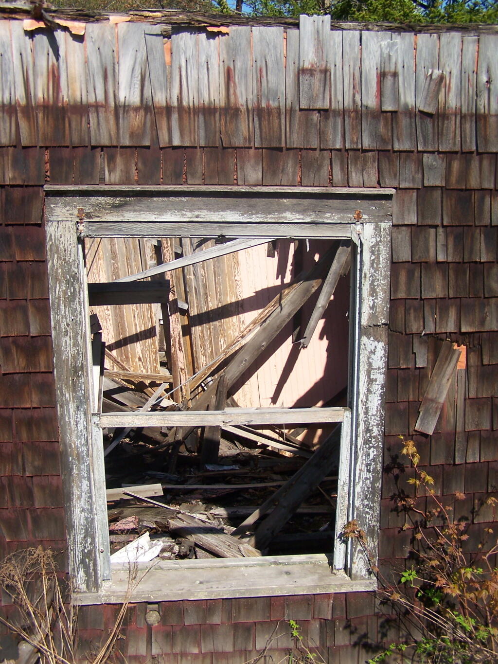

Descending the NL Tailings Pile road into the valley, towards Stanford Lake.
Saturday May 21, 2011 — Tahawus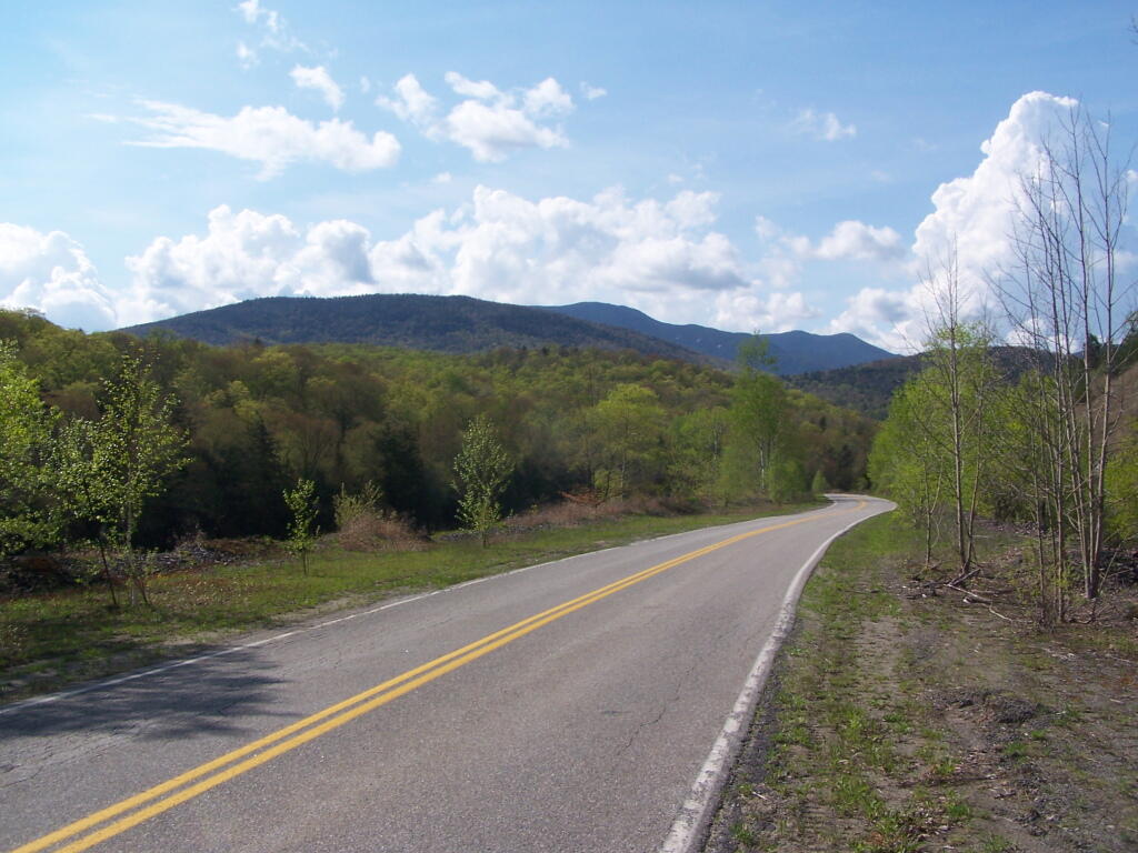

Taken from Tahawus Road, up top of the mine tailings pile where the road ends, right before getting to the gate to the mine that is post off limits.
Saturday May 21, 2011 — Tahawus