Hammond Pond 📍

The Hammond Pond Wild Forest is located in the northeastern Adirondacks and the Lake Champlain Basin of Essex County. There are approximately 40,036 acres in the unit, which is situated in the Towns of Crown Point, Elizabethtown, Moriah, North Hudson, Schroon, Ticonderoga, and Westport.

http://www.cnyhiking.com/HammondPondWildForest.htm

Download the PDF Map Pack
🗺️ Maps 🖼️ Photos 📽️ Videos

Moose Mountain Pond

From the Hammond Pond Parking Area on Moriah Road (4 miles east of US 9), head south on the Berrymill Flow Trail. The flow is roughly 1 1/2 miles south of the parking area, with only a very slight incline. Head south-east on the Mouse Mountain Pond Trail another 1 1/2 miles to reach the lake which contains a lean-to on the north shore. Slight incline, gaining 200 feet before dropping over a ridge to the pond.

https://andyarthur.org/hammond-pond
https://www.dec.ny.gov/lands/109807.html

 Moose Mountain Pond

Map: Hanging Bog Wildlife Management Area - Orthophoto
SVGZ Graphic: Capital Region Population Density
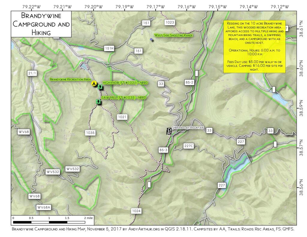
Map: Brandywine Campground And Hiking

Four Mile Meadow

The Adirondack Northway, and how it runs through Four Mile Meadow outside of Lincoln Pond in the Northeastern Adirondacks outside of Elizabethtown.

Four Mile Meadow

Thematic Map: Percent of Employment as Fast Food Workers