WIthin 25 Miles of the Barge Canal.svg.svg
Not sure if the latest Census numbers agree with the 85% number often bandied around, but it depends what you define Upstate as and what part of the canal system you consider the Erie Canal.

Not sure if the latest Census numbers agree with the 85% number often bandied around, but it depends what you define Upstate as and what part of the canal system you consider the Erie Canal.
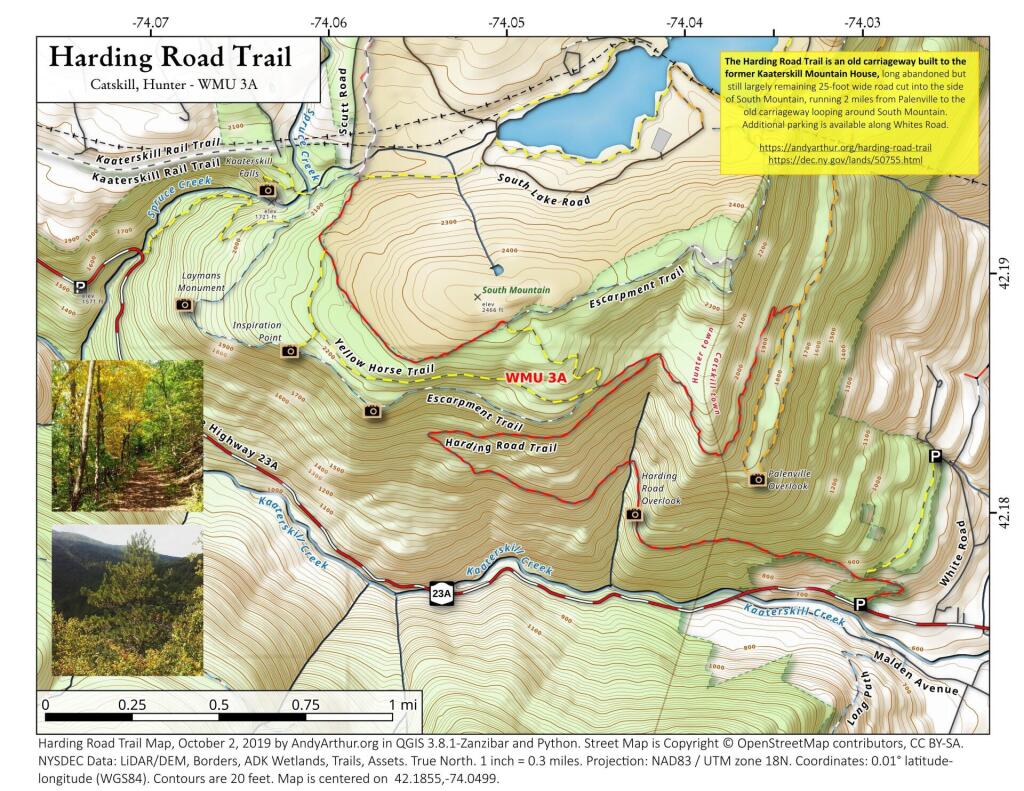
The Noses of the Mohawk River are a break in the hills where the Mohawk River Runs. This is a scared site for many of the Native Americans and an important travel corridor since the Colonial era. Today, this natural passageway is crossed by the Erie Canal/Mohawk River, then to the north of the river two railroad tracks, a two-lane section of NY 5. To the south of the river is four lanes of the NYS Thruway (built on filled in portion of the Mohawk River), and two lanes of NY 5S. There also is the Mohawk Valley Welcome Center, brought there by the Thruway Authority and Power Authority. This site has not always been considered that sacred -- the Sprakers Unlined Landfill for Canjahoharie's waste from the 1960s to 1980s is located one portion of the bank mined away for travel, and much of the travel corridors through the valley are built on rubble through former marshlands.

Tainter gates would be better if unpredictable heavy rains become more common during the navigation season and it’s necessary to adjust river levels on an emergency basis but bridge dams are better historically because they cause less problems with ice jams in the winter months as they typically have fewer piers. Tainter gates are generally more reliable. Bridge dams can’t be raised in an flooding emergency, causing flood waters to back up until the panels fail, although the design of bridge dams usually means during extreme flooding only the panels and maybe the panel frames are sacrificial.