Getting Camp Set Up 🖼️
Download a High Resolution JPEG Image of the Getting Camp Set Up or an Adobe Acrobat Printable PDF of the Getting Camp Set Up.
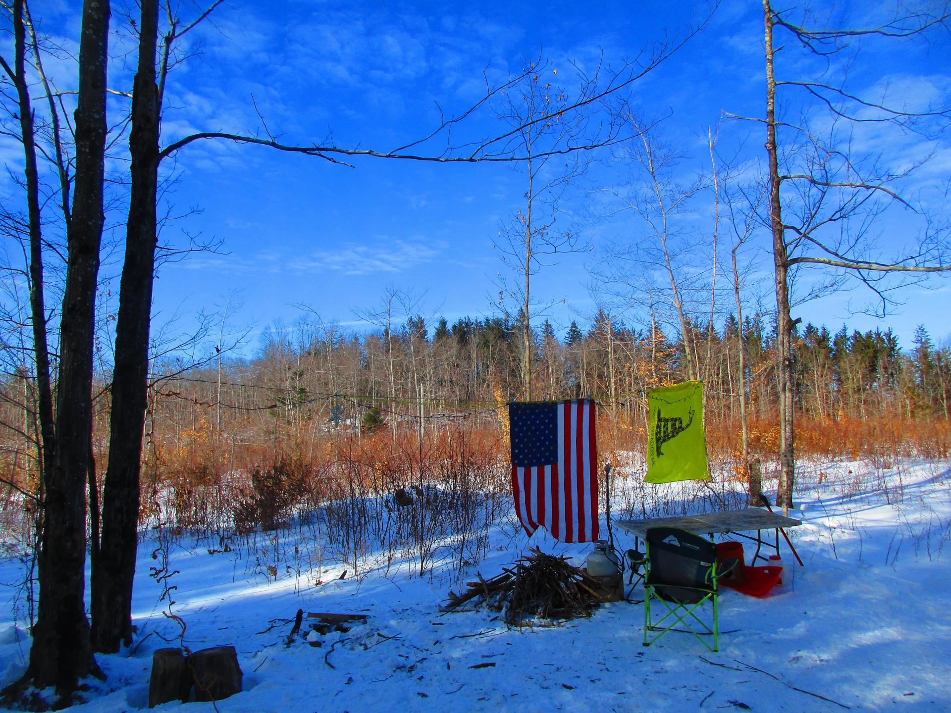
Getting Camp Set Up ...
I've had my eye on this campsite ever since it was created with the new UMP plan and logging a few years back, but usually I like to head further out of town for weekend trips, but with only one night of good weather, this was perfect for roadside camping. Might be hot in the summer, though there is good southernly shade.
Taken on Sunday February 20, 2022 at Rensselearville State Forest.

More about Rensselearville State Forest...
A well-kept secret in the western part of Rensselaerville. Minimal signage, best approached on Cheese Hill Road from County Route 358 or State Route 145 (Preston Hollow), or from Gulf Road off County Route 353. The area has several hilly, narrow seasonal roads--not for the faint of heart. The multi-use trails aren't blazed but are indicated by "Motor Vehicle Trail" signs. Recreation in this beautiful forest includes hunting, trapping, fishing, hiking, cross-country skiing, snowmobiling, mountain biking, nature observation, and birdwatching.
http://www.hilltowns.org/rensselaerville-state-forest.html
Download the PDF Map Pack with All Maps from Rensselearville State Forest.


