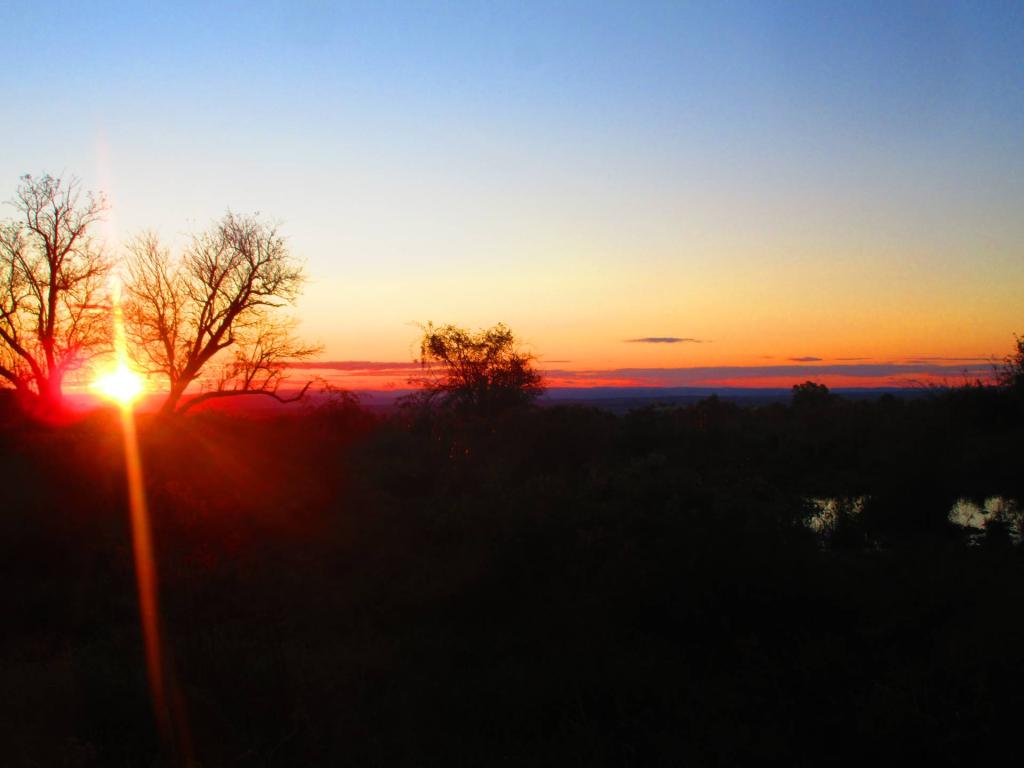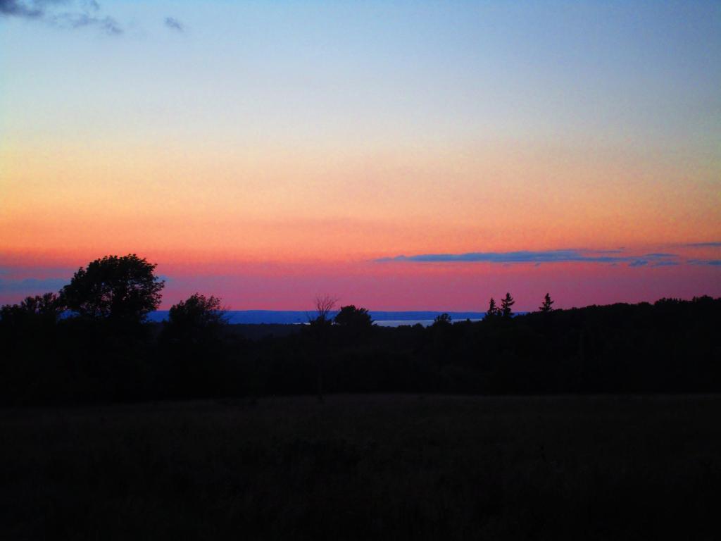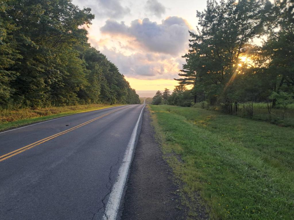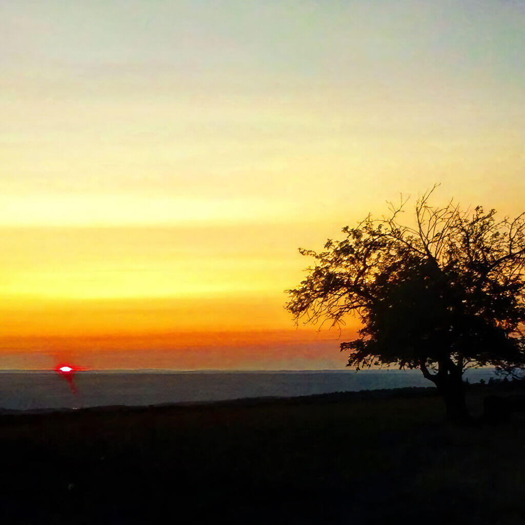
Cow path 🖼️
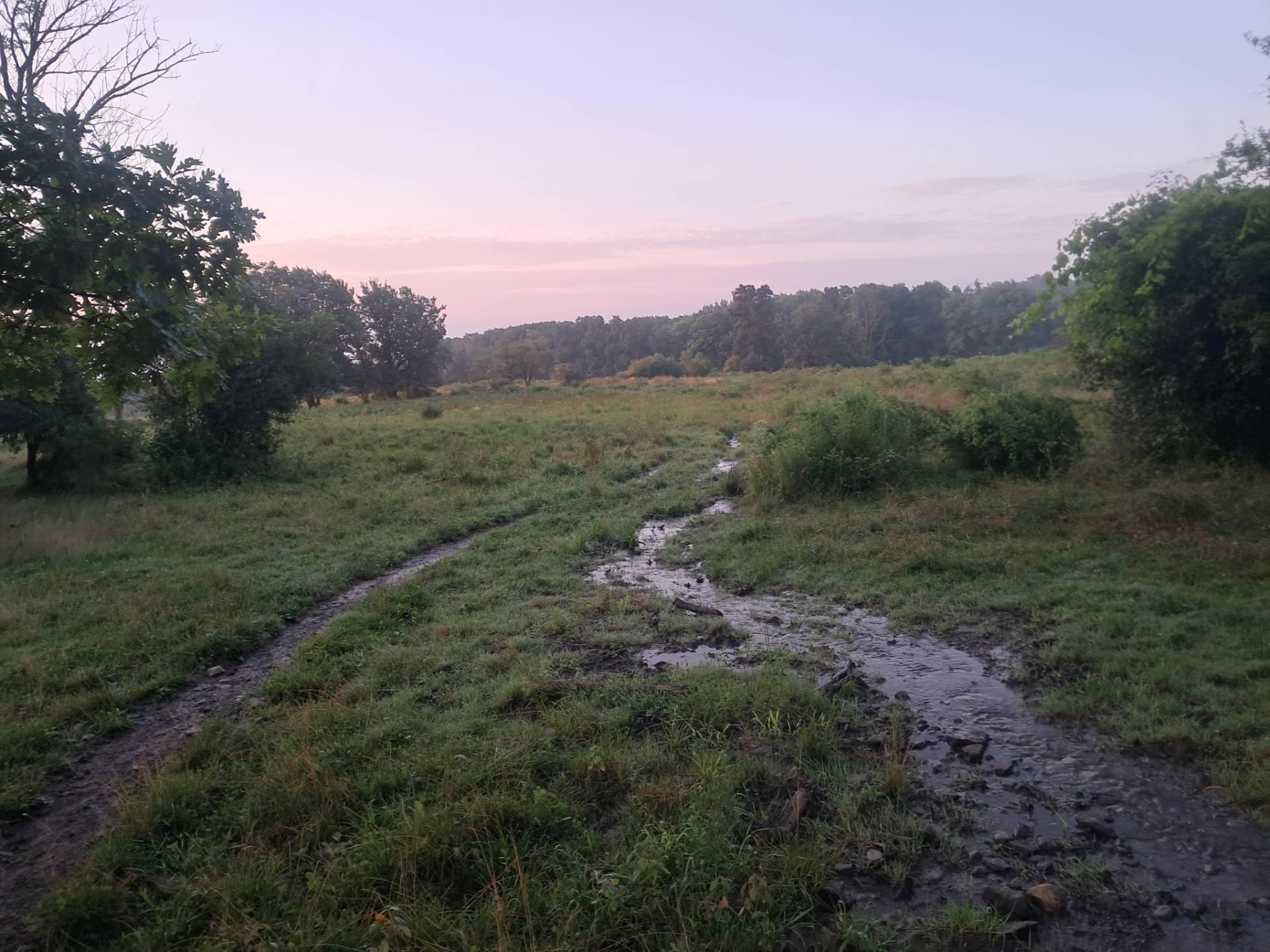
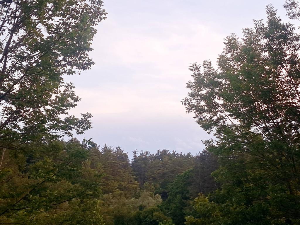
Download a High Resolution JPEG Image of the Cow path [Expires August 22 2026] or an Adobe Acrobat Printable PDF of the Cow path [Expires August 22 2026].
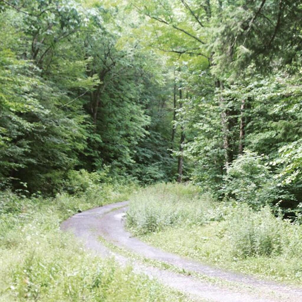
Cow path [Expires August 22 2026] ...
Taken on Saturday August 8, 2026 at Finger Lakes National Forest.
More about Finger Lakes National Forest...
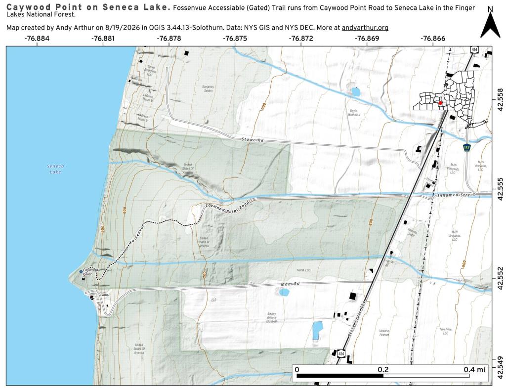
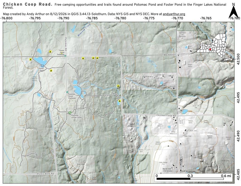
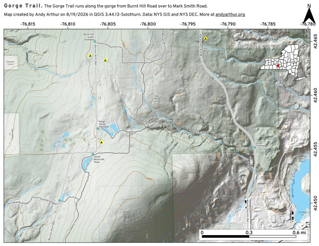
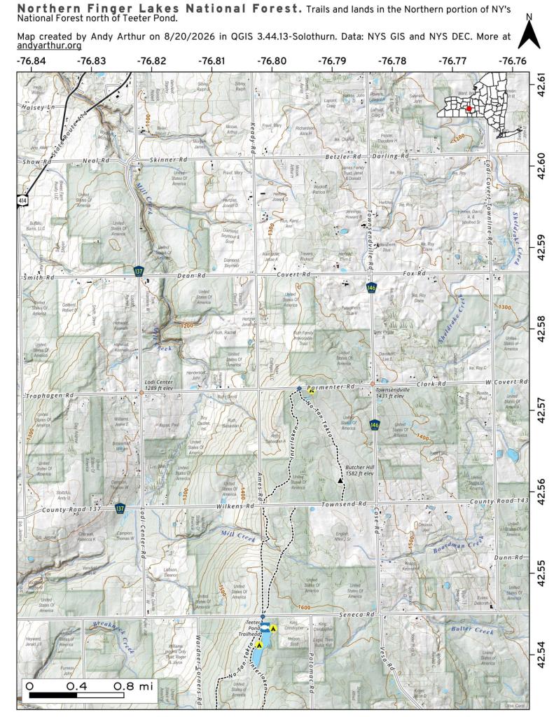
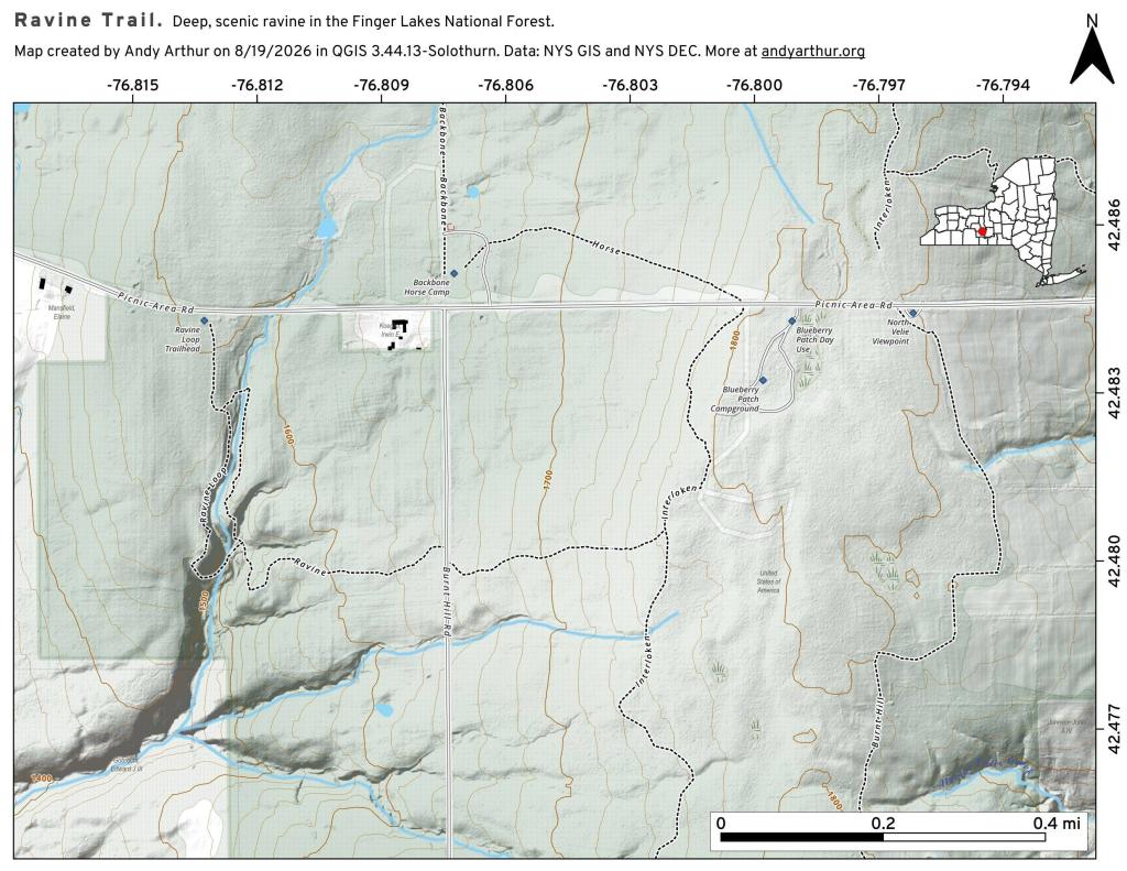
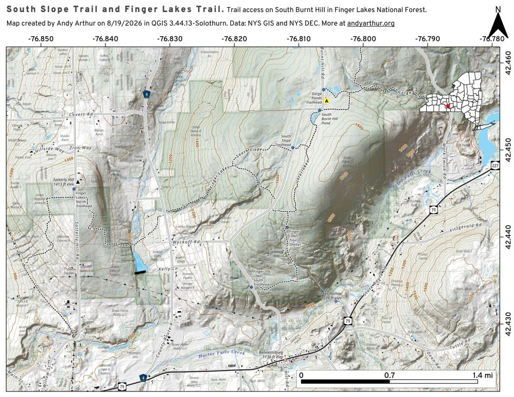
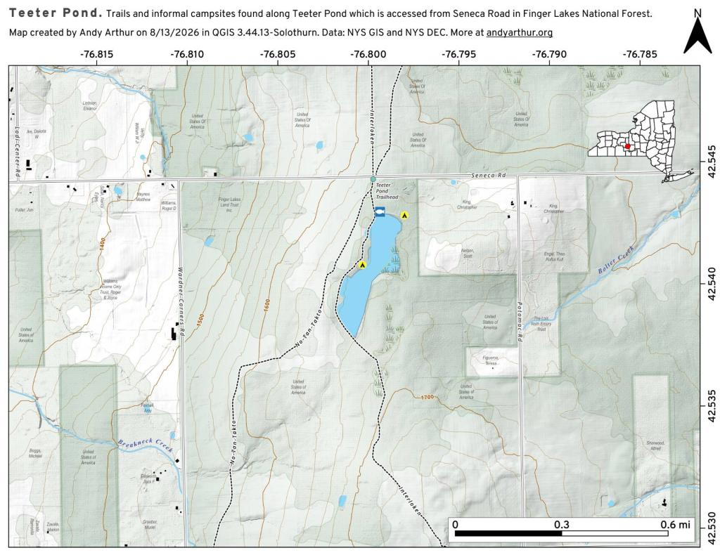
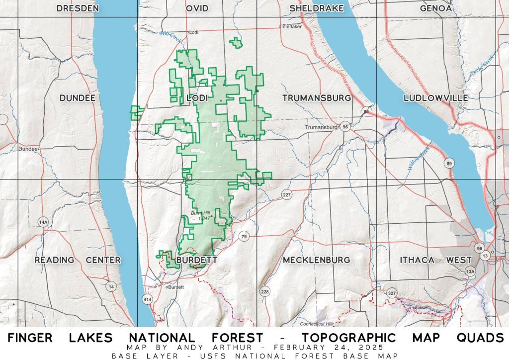
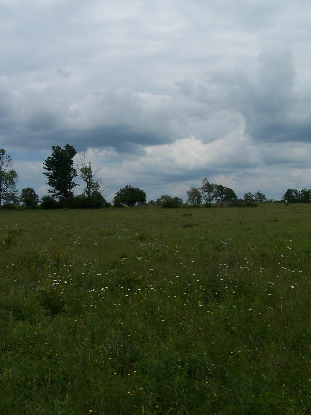
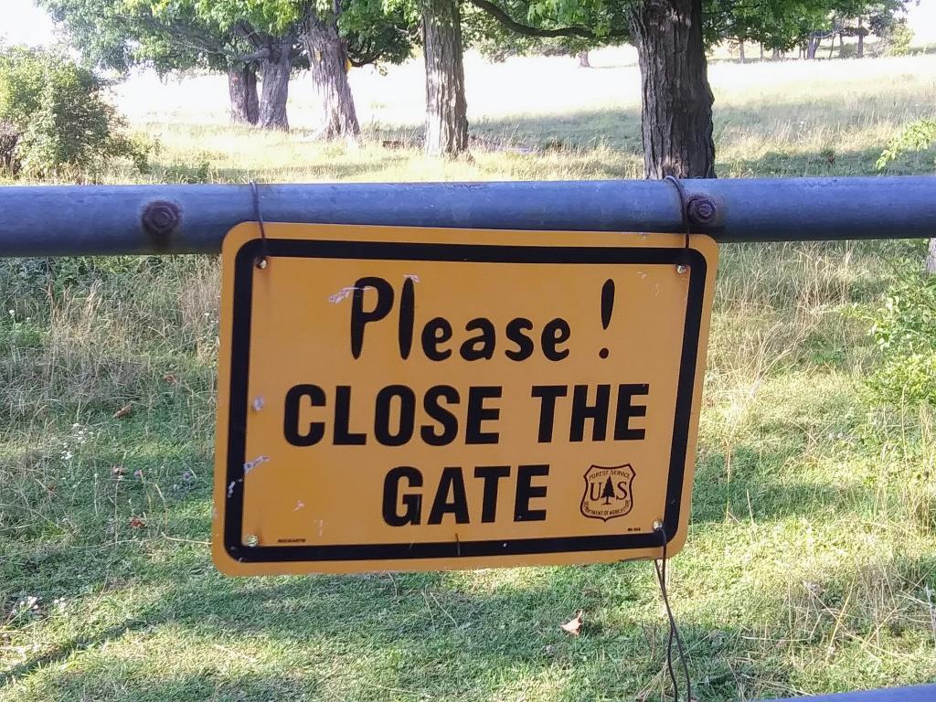
Nestled in upstate New York, the Finger Lakes National Forest spans 16,000 acres of diverse terrain, combining lush woodlands with expansive pasture land. Encompassing woodlands, grasslands, and glacial lakes, its picturesque landscapes and well-maintained trails attract outdoor enthusiasts, offering opportunities for hiking, birdwatching, mountain biking, and horseback riding. The forest's five distinctive trails wind through the scenery, revealing stunning views of gorges, waterfalls, and panoramic vistas. The forest is also home to the celebrated Finger Lakes Trail, a long-distance hiking trail extending over 580 miles. Limited free primitive and roadside camping opportunities along the roads add to the allure, providing a chance to immerse in the natural beauty for longer periods. As the only national forest in New York State, it provides a unique space for relaxation, exploration, and immersion in the captivating landscapes of the Finger Lakes region.
http://en.wikipedia.org/wiki/Finger_Lakes_National_Forest
http://www.fs.usda.gov/fingerlakes
http://www.cnyhiking.com/FingerLakesNationalForest.htm
Download the PDF Map Pack with All Maps from Finger Lakes National Forest.