More Rain  🖼️

Download a JPEG Image of the More Rain.
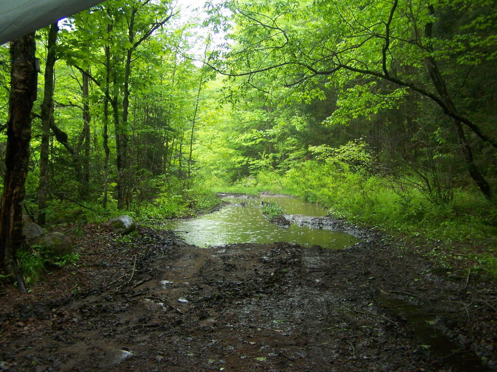
More Rain ...

Sitting in the campsite, looking at the rain pounding down in the puddles by the campsite. Saturday really was a dreary day, good for drinking beer and reading books mostly.

Taken on Saturday May 28, 2011 at Piseco-Powley Road.

Terrain Map: Mahanoy Mountain

More about Piseco-Powley Road...

The 17-mile Piseco-Powley Road is a remote dirt route cutting through the Adirondack's Ferris Lake Wild Forest. It features 22 primitive roadside campsites, including four spots at Powley Place where the road crosses the West Branch of the East Canada Creek.

Download the PDF Map Pack with All Maps from Piseco-Powley Road.

Map: Big Alderbed Lake Trail
Map: Clockmill Corners to NY 10
Map: Edick Road Swimming Hole
Map: Goldmine Stream Falls
Map: House Pond Trail
Map: Lower Powley Bridge to Sugarbush Mountain
Map: Meco Lake Trail (Piseco-Powley Road)
Map: Overview Map Piseco-Powley Road
Map: Piseco Road Swimming Holes
Map: Powley Place - East Canada Creek - Kayak Canoe
Map: Sand Lake
Map: Sand Lake Trail
Map: Sugarbush Mountain to Clockmill Corners
Terrain Map: Juneteenth 2022 Weekend
Terrain Map: Powley Road
Photo: Heading to Powley Place Bridge
Photo: Powley Bridge
Photo: Another Campsite in Powley Place
Photo: Culvert Replacement Needed Here
Photo: All Packed Up
Photo: Powley Place
Photo: Due to Low Water Levels Must Portage Around This Beaver Dam
Photo: Morning At The Potholers
Photo: Edge of Sand Lake
Photo: Reflect

Leave a Reply

Your email address will not be published. Required fields are marked *