Waking Up Deligted to See the Sun  🖼️

Download a JPEG Image of the Waking Up Deligted to See the Sun.

Waking Up Deligted to See the Sun ...

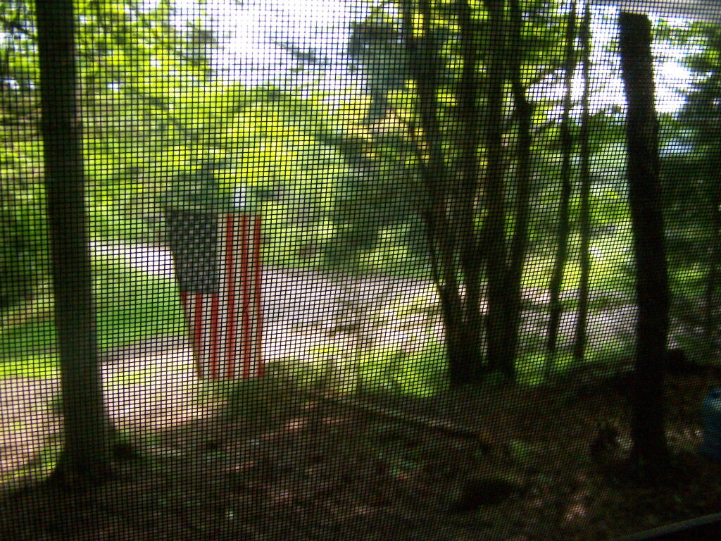
All that light and bright green was sorely missing from Powley Place when I camped there most of the weekend, until Memorial Day worked it's way around.

Taken on Monday May 30, 2011 at Piseco-Powley Road.

Map: Battery Diagram

More about Piseco-Powley Road...

The 17-mile Piseco-Powley Road is a remote dirt route cutting through the Adirondack's Ferris Lake Wild Forest. It features 22 primitive roadside campsites, including four spots at Powley Place where the road crosses the West Branch of the East Canada Creek.

Download the PDF Map Pack with All Maps from Piseco-Powley Road.

Map: Big Alderbed Lake Trail
Map: Clockmill Corners to NY 10
Map: Goldmine Stream Falls
Map: House Pond Trail
Map: Lower Powley Bridge to Sugarbush Mountain
Map: Meco Lake Trail (Piseco-Powley Road)
Map: Overview Map Piseco-Powley Road
Map: Powley Place - East Canada Creek - Kayak Canoe
Map: Sand Lake
Map: Sand Lake Trail
Map: Sugarbush Mountain to Clockmill Corners
SVGZ Graphic: high-temp-ny [Expires June 19 2026]
Terrain Map: Edick Road Swimming Hole
Terrain Map: Juneteenth 2022 Weekend
Terrain Map: Powley Road
Thematic Map: Piseco Road Swimming Holes
Photo: X-mas Lights at the Campsite
Photo: Snow at Powley Place
Photo: East Canada Creek on a Rainy Evening
Photo: East Canada Creek
Photo: Piesco-Powley Road
Photo: Butterflies on Piseco-Powley Bridge
Photo: Sand Lake
Photo: East Canada Creek
Photo: Not Much Shade Here
Photo: Heading to Powley Place Bridge

Leave a Reply

Your email address will not be published. Required fields are marked *