Trash Box 🖼️
Download a JPEG Image of the Trash Box.
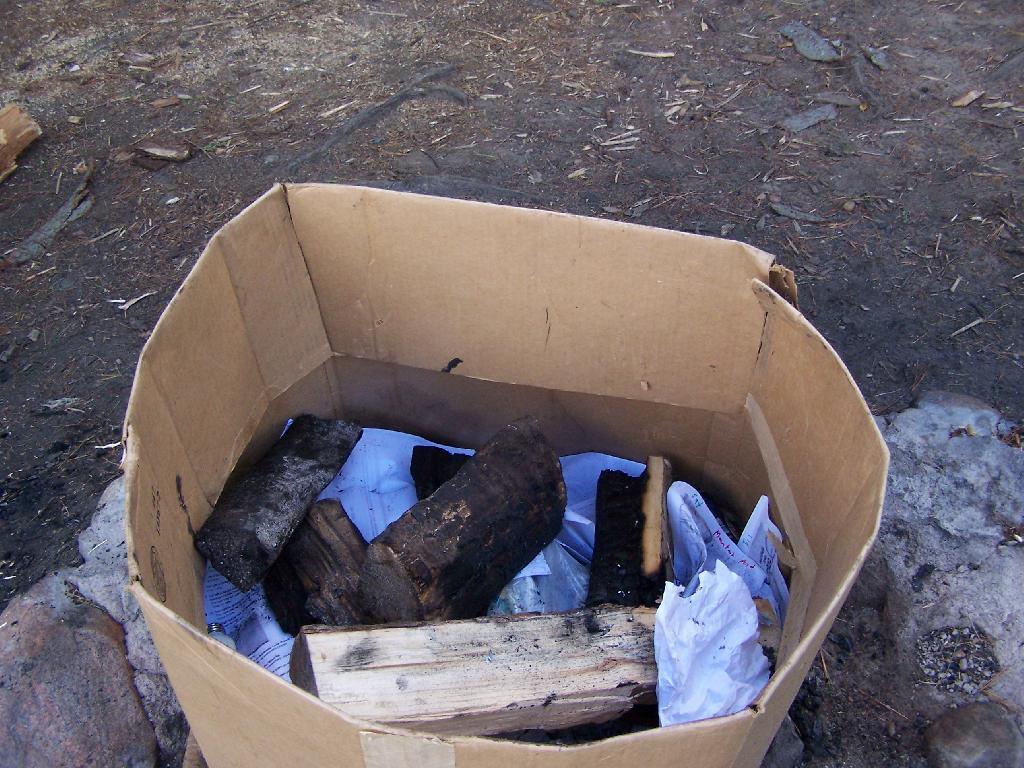
Trash Box ...
Some previous camper left this box full of garbage -- bottles, beer cans, plastic, paper, etc. What's a boy to do? Burn it of course! I thought about picking out the beer cans first, so I could redeem them, but it grossed me out. So what I did, is stack some charred wood from previous campers, some of my own firewood, poured 1/4 gallon of gasoline on it, and tossed a match in. Once the garbage was incinerated, I carefully picked out the aluminum cans, bottles, and other unburnables, and tossed them in my bucket to bring home for recycling.
Taken on Saturday August 14, 2010 at Mountain Pond.

More about Mountain Pond...
Mountain Pond is a small, narrow lake, located along Old Route 30, just 2 miles north of Paul Smiths. Offers 6-roadside camping spots, along with a secluded, lesser used pond, near Barnum Pond and Osgood Pond.
Download the PDF Map Pack with All Maps from Mountain Pond.


