Campsite 2 Closer Up 🖼️
Download a JPEG Image of the Campsite 2 Closer Up.
Campsite 2 Closer Up ...
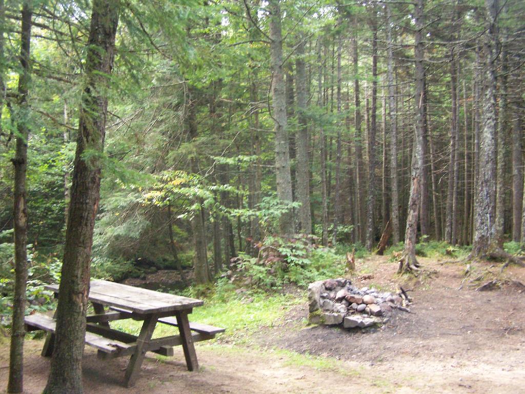
This is campsite two, with the picnic table and fire pit. The outhouse is across the road, and shared between several sites. I didn't find it until I had already dug a cat hole for taking a shit, and burning the toilet paper. The campsite is abutted by the Silver Run (creek).
Taken on Friday September 3, 2010 at Moose River Plains.

More about Moose River Plains...
Spanning Herkimer and Hamilton Counties, the Moose River Plains Wild Forest offers an array of activities, including camping, hiking, mountain biking, fishing, hunting, and canoeing. Free campsites are accessible from late May to December's end. Winter highlights snowmobiling along the Limekiln Lake-Cedar River Road linking Inlet and Indian Lake. Must-visit spots encompass Cedar River Flow, Moose-spotting at Helldiver Pond, scenic Wakely Mountain with its firetower, as well as numerous smaller ponds and lesser-known trails. This diverse landscape caters to a range of outdoor pursuits, making it a year-round destination for nature enthusiasts and adventurers.
Download the PDF Map Pack with All Maps from Moose River Plains.


 compare to Moose River Plains Camping Area?")


