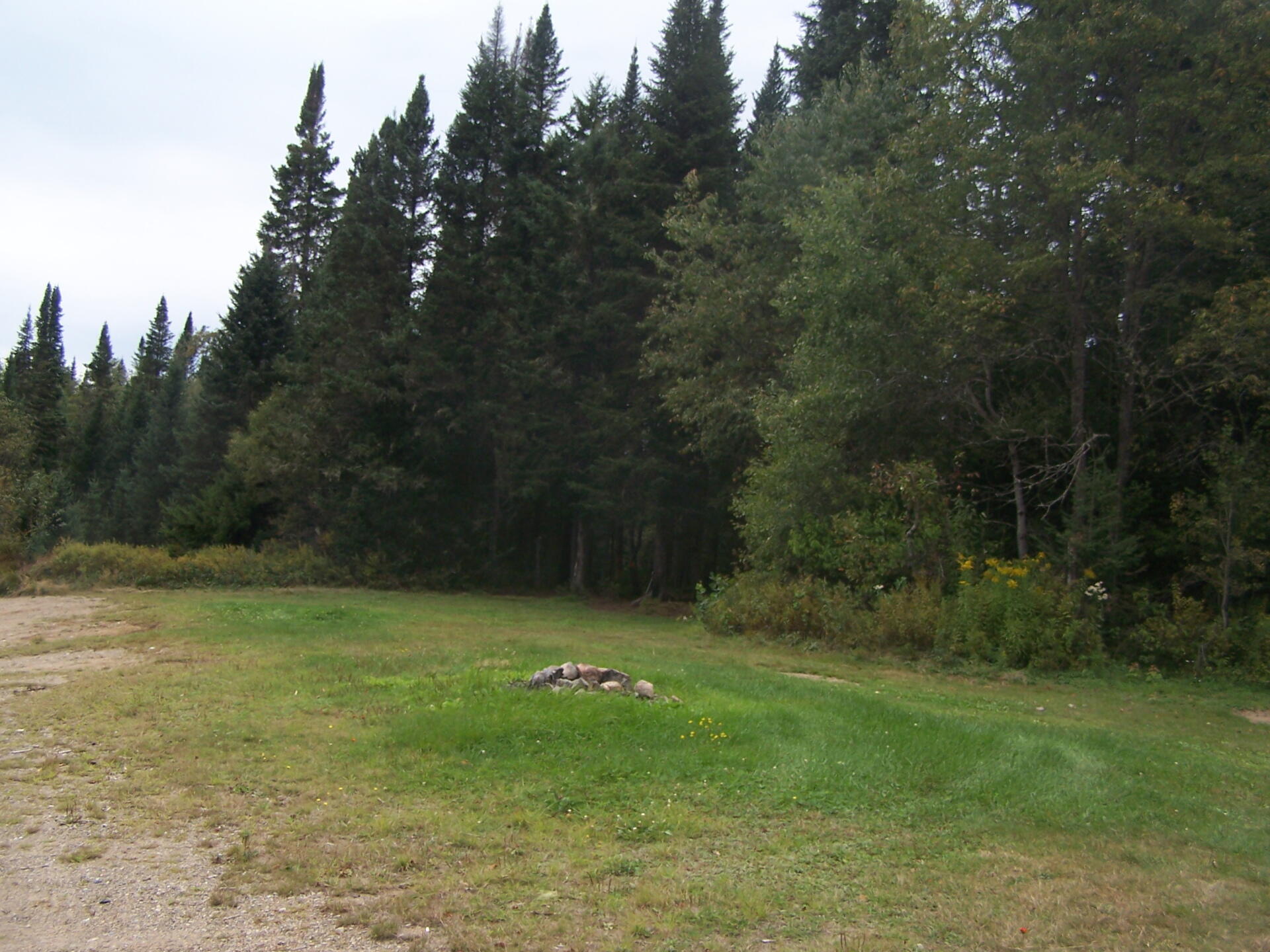
Designated Campsite Right on the Road 🖼️
Download a High Resolution JPEG Image of the Designated Campsite Right on the Road or an Adobe Acrobat Printable PDF of the Designated Campsite Right on the Road.
Designated Campsite Right on the Road ...
If you got really drunk, you could easily stumble out into oncoming traffic, if you where unlucky enough to see a passing car at night. Not very likely though, as this 12-mile dirt road is rarely traveled.
Taken on Monday September 6, 2010 at Piseco-Powley Road.

More about Piseco-Powley Road...
The 17-mile Piseco-Powley Road is a remote dirt route cutting through the Adirondack's Ferris Lake Wild Forest. It features 22 primitive roadside campsites, including four spots at Powley Place where the road crosses the West Branch of the East Canada Creek.
Download the PDF Map Pack with All Maps from Piseco-Powley Road.


")


