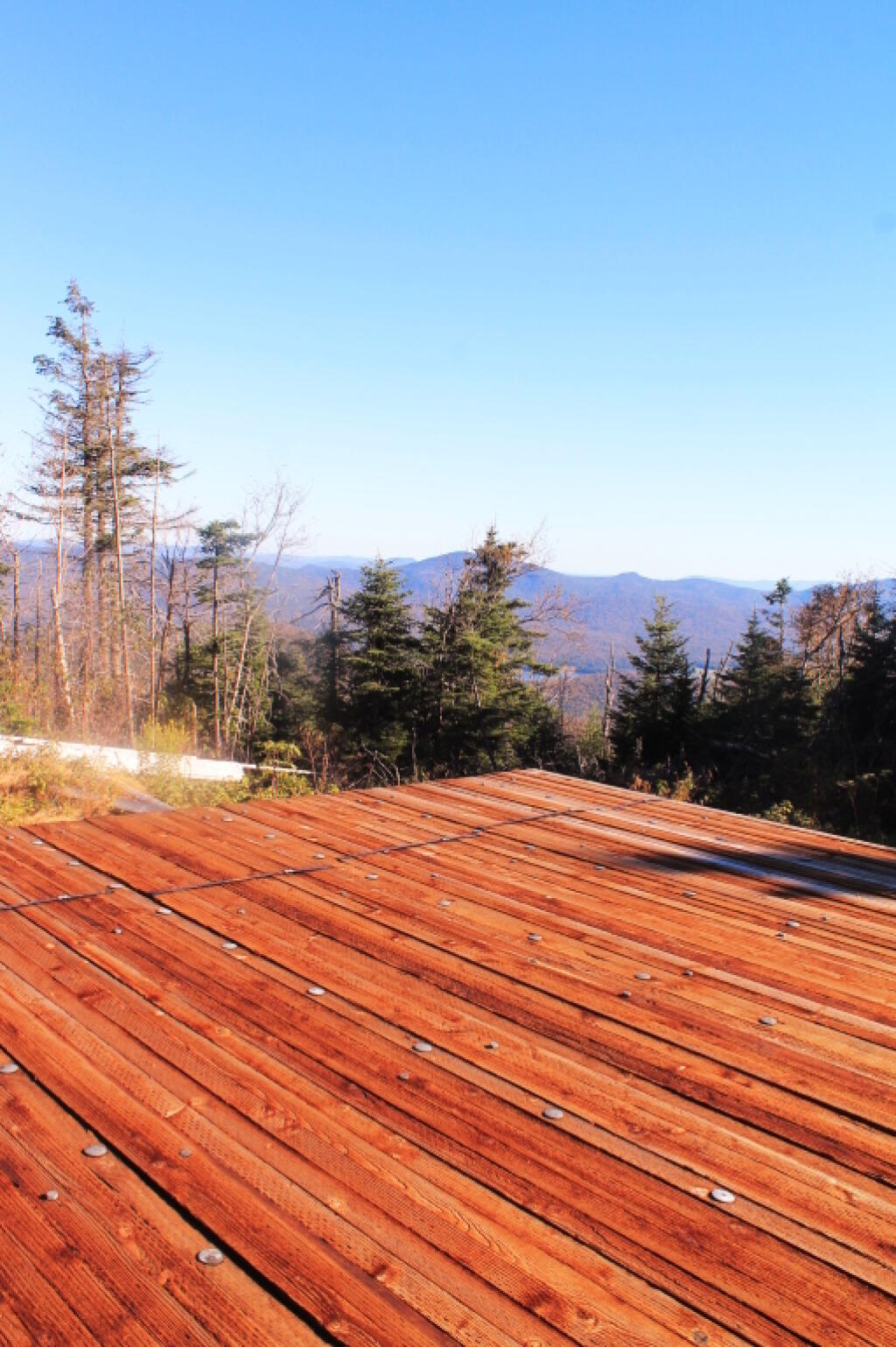
The Reconstructed Helipad 🖼️
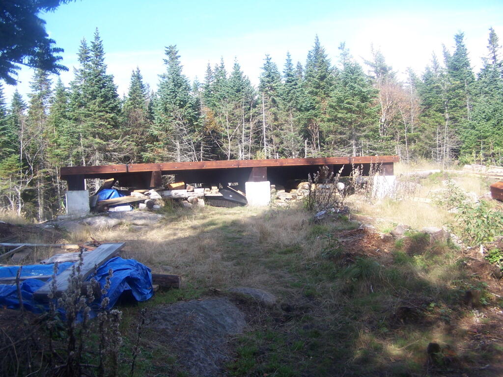
Download a JPEG Image of the The Reconstructed Helipad.
The Reconstructed Helipad ...
It looks like the DEC did a really nice job fixing it up, as part of the extensive work up here.
Taken on Tuesday September 27, 2011 at Wakely Mountain.
More about Wakely Mountain...
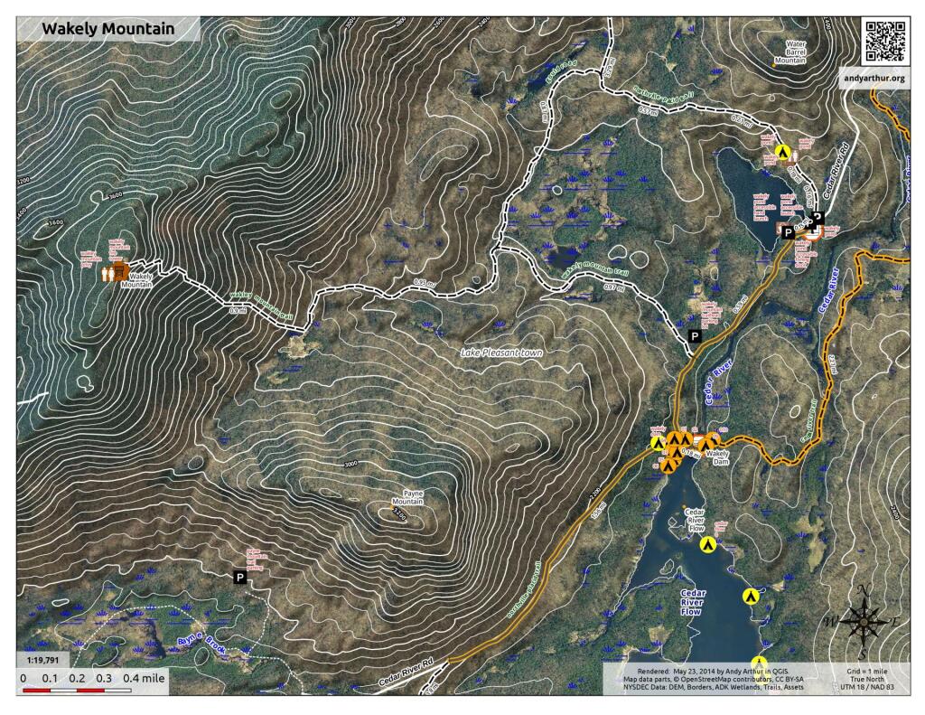
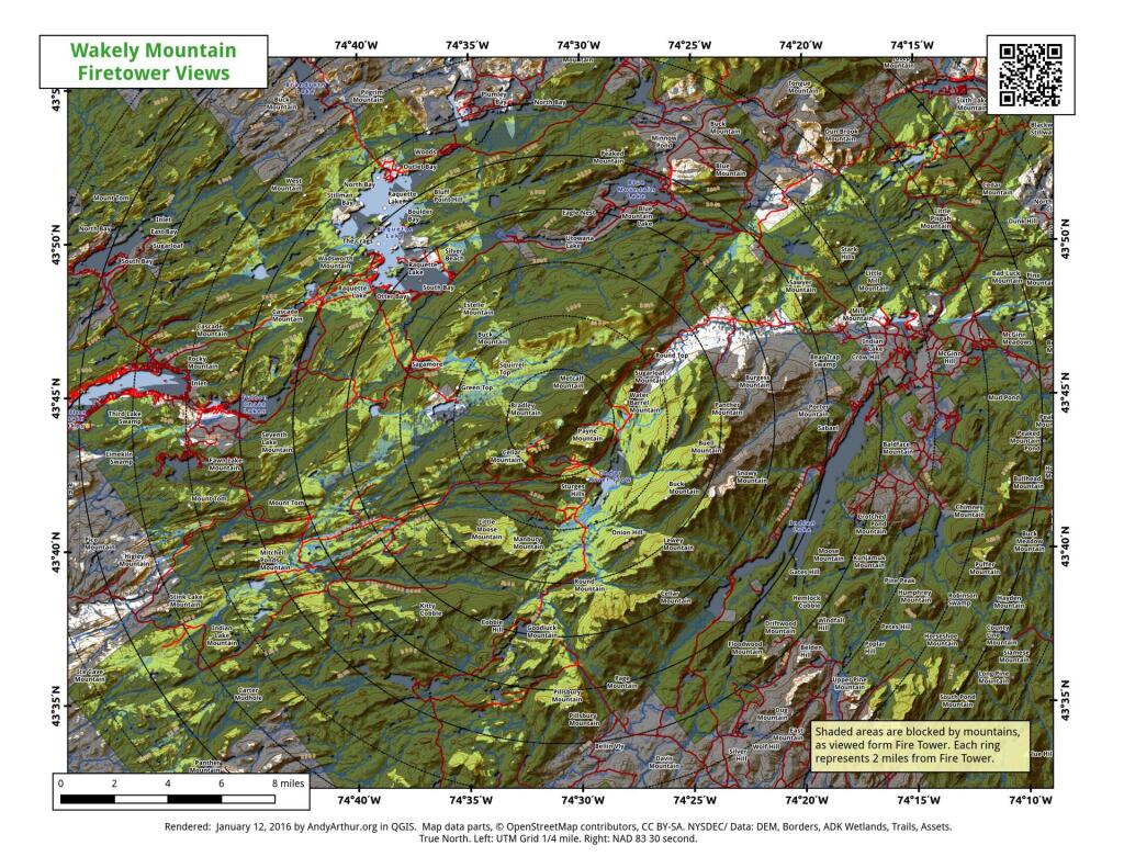
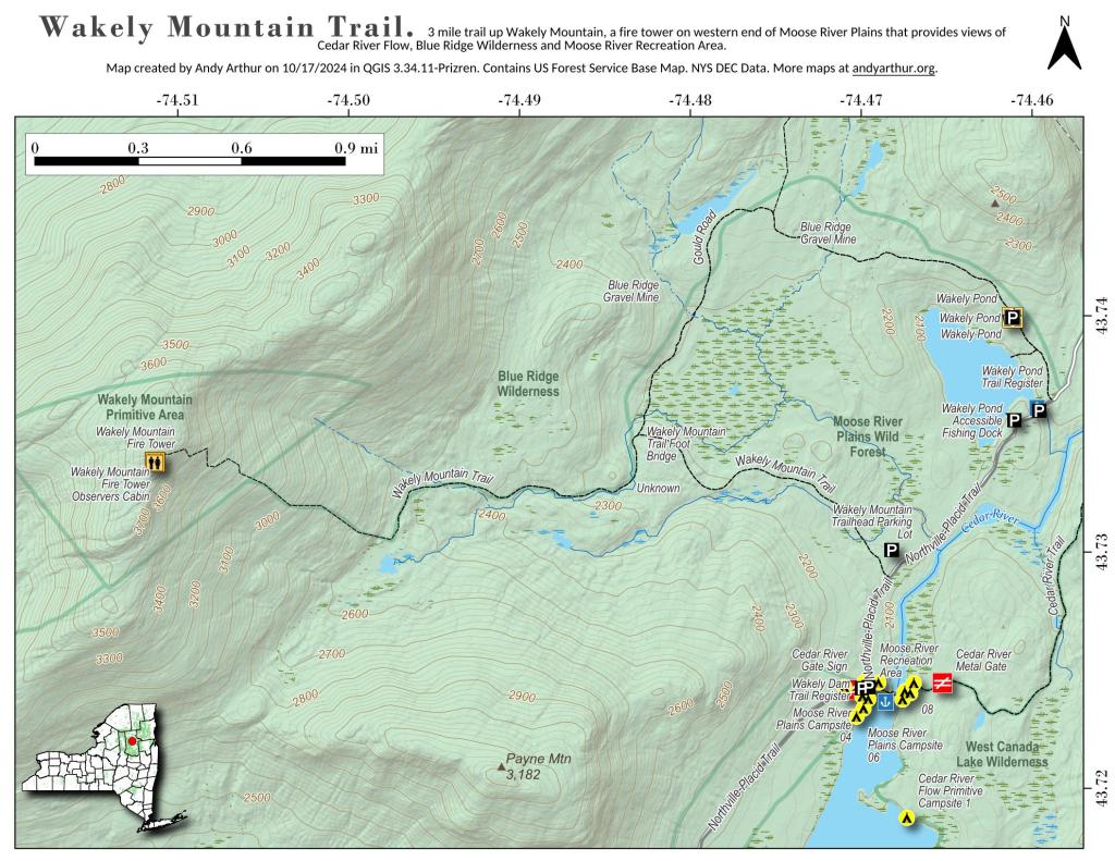
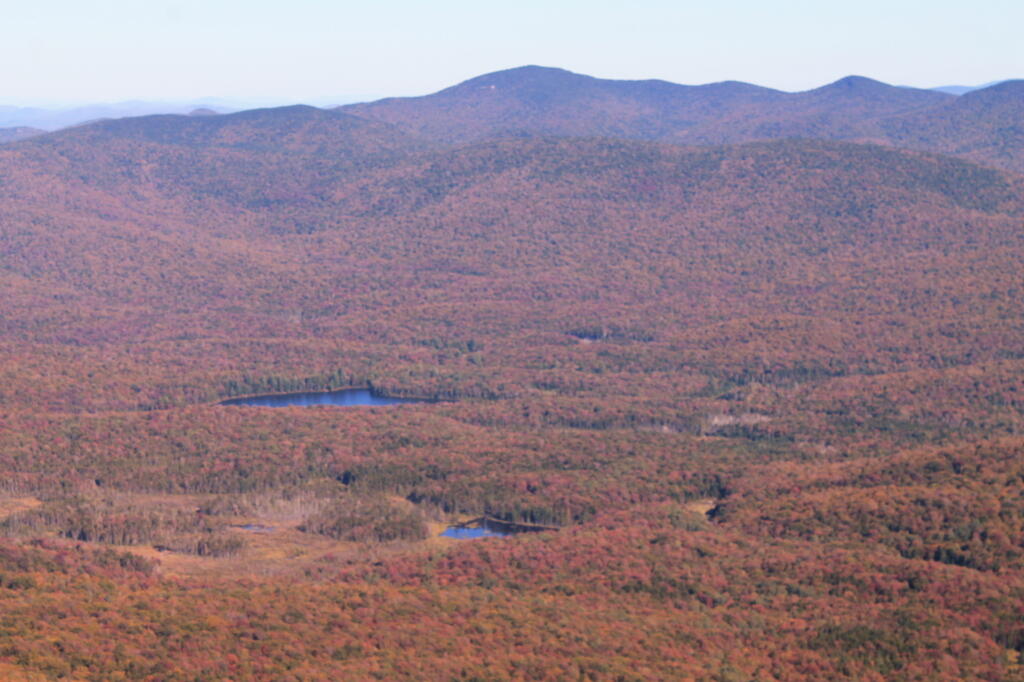
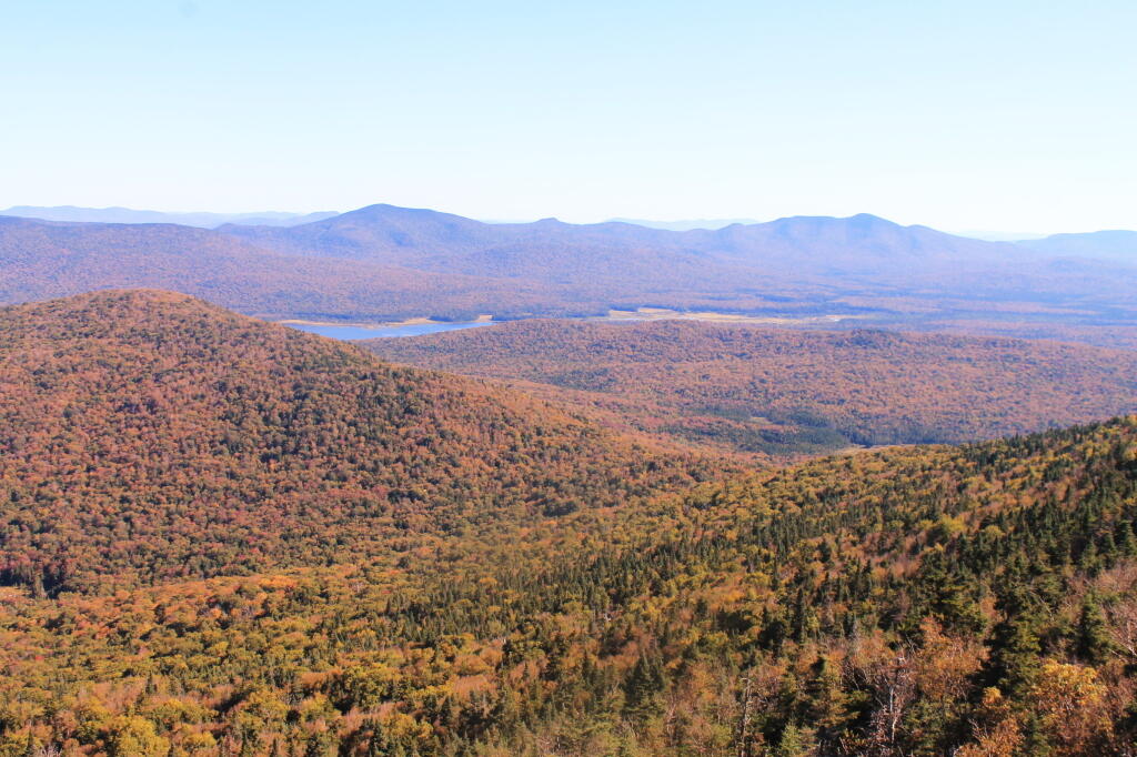
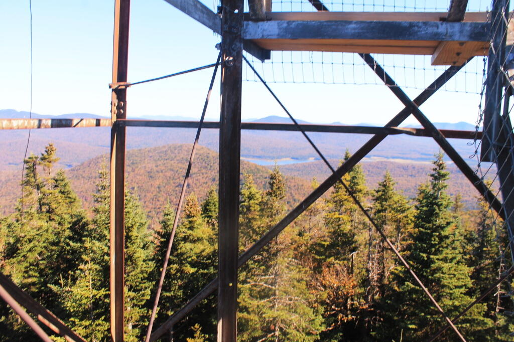
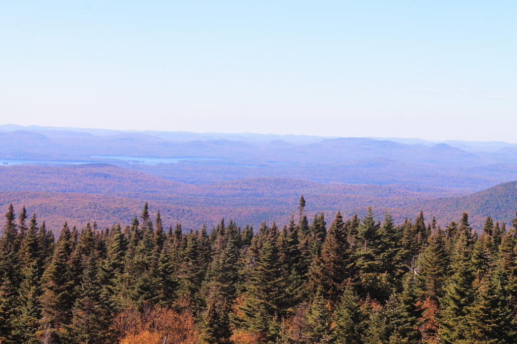
Wakely Mountain Firetower is a 92-foot tall firetower, the tallest in New York State, and is located at 3,742 ft elevation mountain. It offers views of the Blue Ridge Wilderness, High Peaks, Fulton Chain of Lakes, Payne Mountain, Cedar River Flow (southern end), Moose River Plains, and West Canada Lake Wilderness.
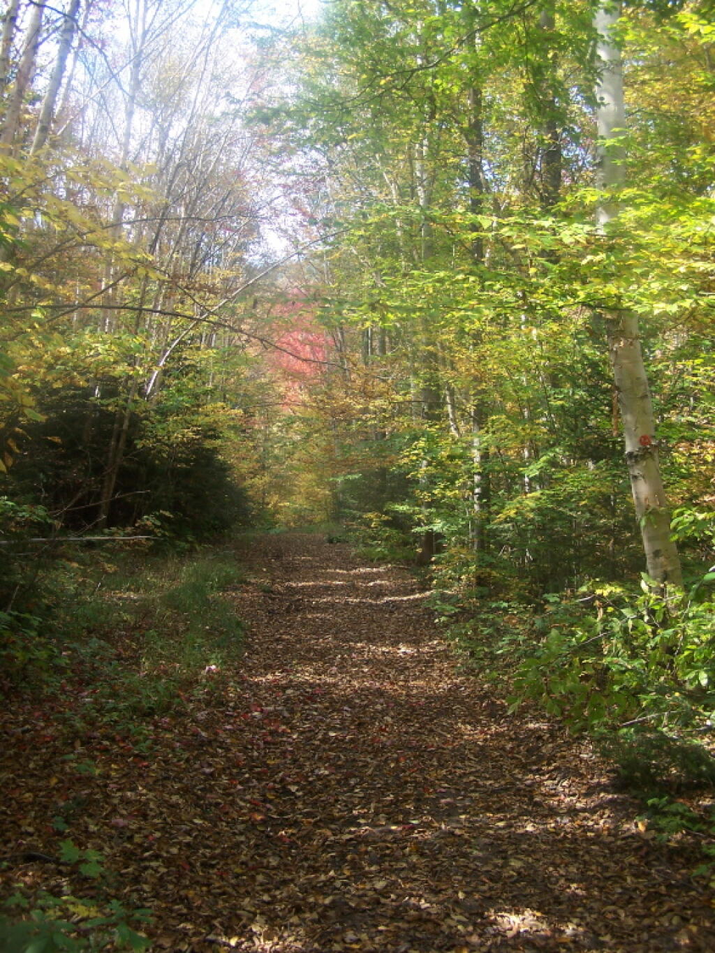
It is a 3.0 mile hike up it, with a 1635 ft ascent. The first 2 miles follow a gently climbing old woods road, with the last 1.0 miles being a 1,300 ft ascent.
The trailhead is located 1 mile east of Wakely Dam / Cedar River Entrance of Moose River Plains or 12 miles west of the Cedar River Road and NY 30 triangle.
Download the PDF Map Pack with All Maps from Wakely Mountain.