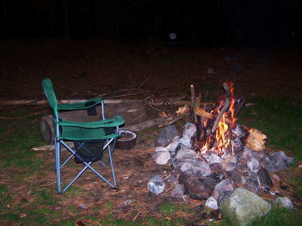
Map: Green Mountain National Forest North

More about Union Falls Pond...

A 3-mile lake north of Franklin Falls in the southeast part of the Town of Franklin. Offers paddling with breathtaking views of Whiteface Mountain, with several campsites along the lake.

Map: Union Falls Pond
Terrain Map: Union Falls Pond And Surrounding Areas
Photo: Whiteface and Catamount Mountain in Morning
Photo: Union Falls Spillway
Photo: Duncan Mountain and the Dam
Photo: Fire Place
Photo: South West on Choppy Waters of the Pond
Photo: No Large Motorboats on This Water
Photo: Mornings Light on Western Shore
Photo: All Packed Up at Union Falls Campsite
Photo: Whiteface Mountain Highway
Photo: Saranac River: A Wild and Scenic River

Leave a Reply

Your email address will not be published. Required fields are marked *