Fishing In Beaver Pond 🖼️
Download a High Resolution JPEG Image of the Fishing In Beaver Pond or an Adobe Acrobat Printable PDF of the Fishing In Beaver Pond.
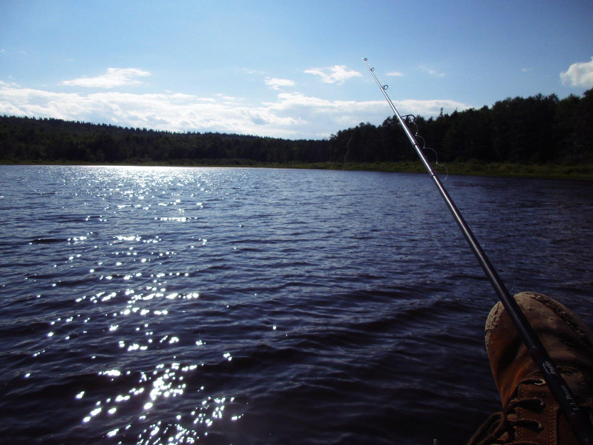
Fishing In Beaver Pond ...
Taken on Sunday July 9, 2017 at Partridge Run Game Management Area.

More about Partridge Run Game Management Area...
Partridge Run Wildlife Management Area (WMA) consists of about 4500 acres of upland and wetland habitat in Albany County. It is located in the Town of Berne. The majority of the current WMA was transferred to the New York State in 1962 by the federal government. The WMA can be access from County Rt. 13, County Rt. 6 and a number of town roads. Numerous parking areas are located throughout the WMA. This parcel of public land affords multiple uses for outdoor recreation including hunting, trapping, fishing, birding, hiking, snowmobiling, skiing, and horseback riding.
http://www.dec.ny.gov/outdoor/86068.html


