Burnt Knob 📍

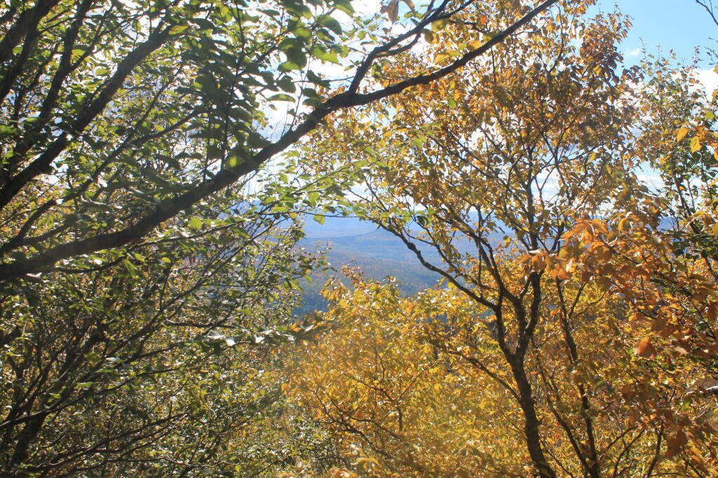
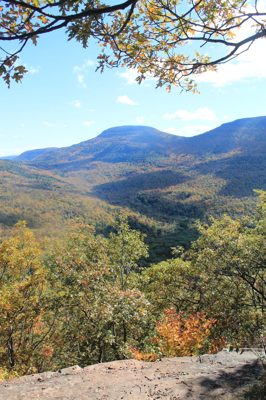
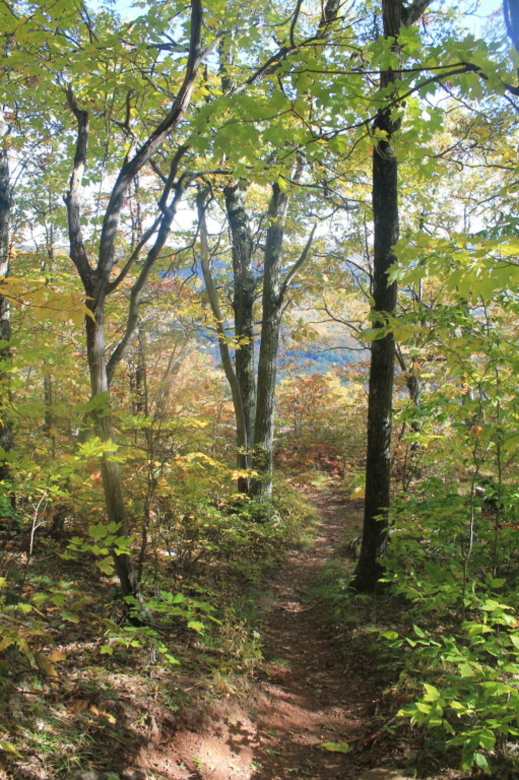
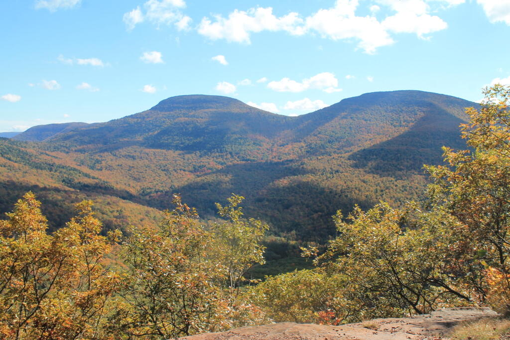
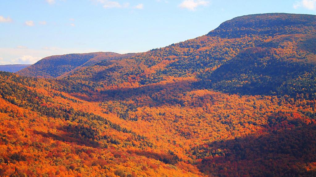
A 3,100 feet peak located between Windham High Peak and Acra Point (the blue trail aka Long Path crosses both), offers views of the Big Hollow, the Blackhead Mountains, along with limited views of Northeast of Catskill Mountains, including Greenville, the Hudson River, and Albany on a clear day.

http://www.catskillmountaineer.com/WB-WHPloop.html

🖼️ Photos
Thematic Map: State Forests Over 4,000 Acres
Thematic Map: Heaven Help the Roses if the Bombs Begin to Fall
SVGZ Graphic: Areas Developed in the City of Albany, 1986-2021
Map: Sliding Rock Falls at Hannacroix Ravine Preserve on Cass Hill Road
Map: West Hill State Forest