Burn Baby Burn
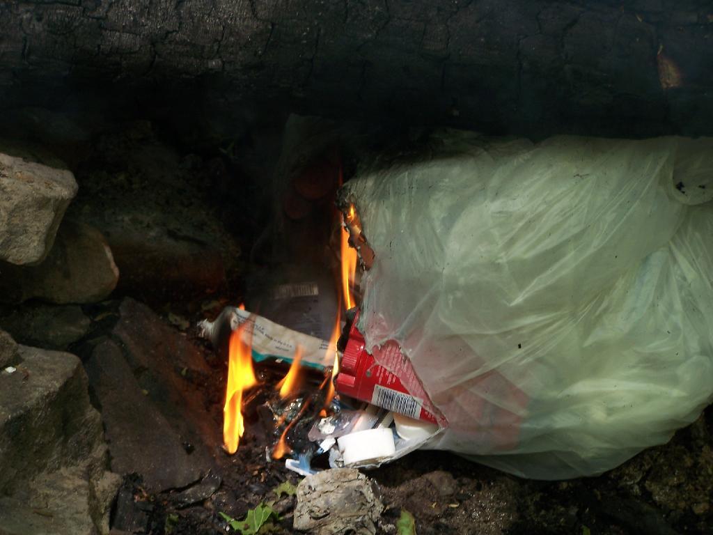
All gone. There's to you, Mr. Pete Grannis, DEC Commish. I took this picture, only 8-months after your stupid ban went into effect. Not that there was anybody around, after a very quiet night at the Cotton Hill Lean-to. I did make sure that everything burned up completely, and left no litter around for the next camper.
Sunday March 21, 2010 — Fire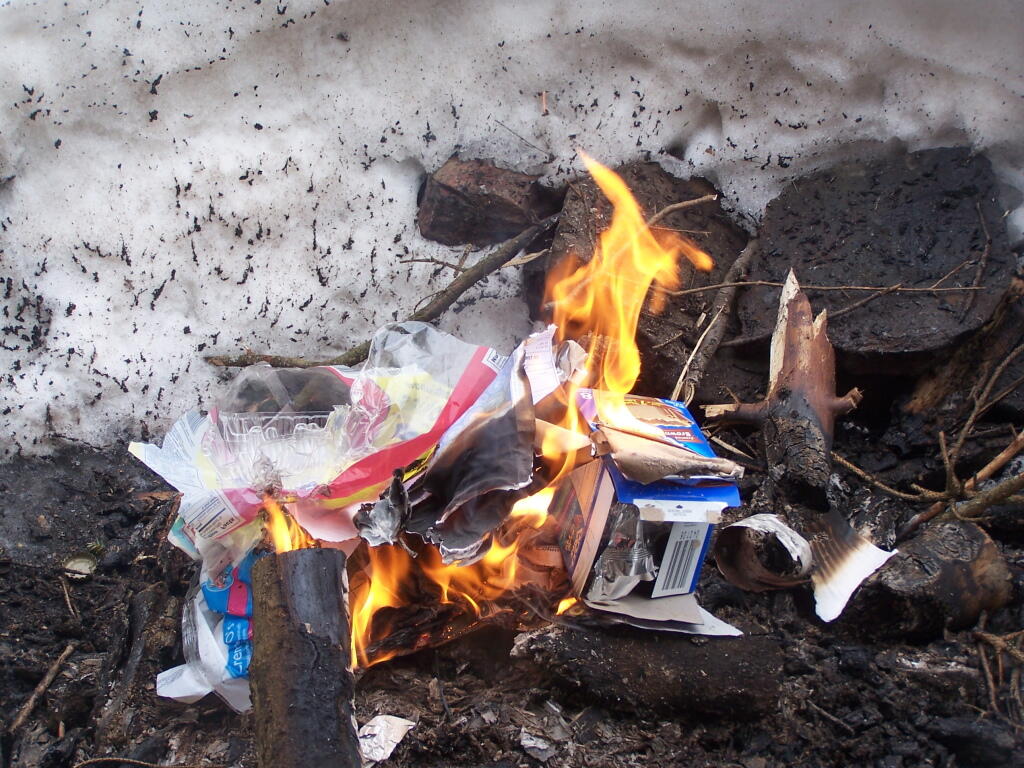
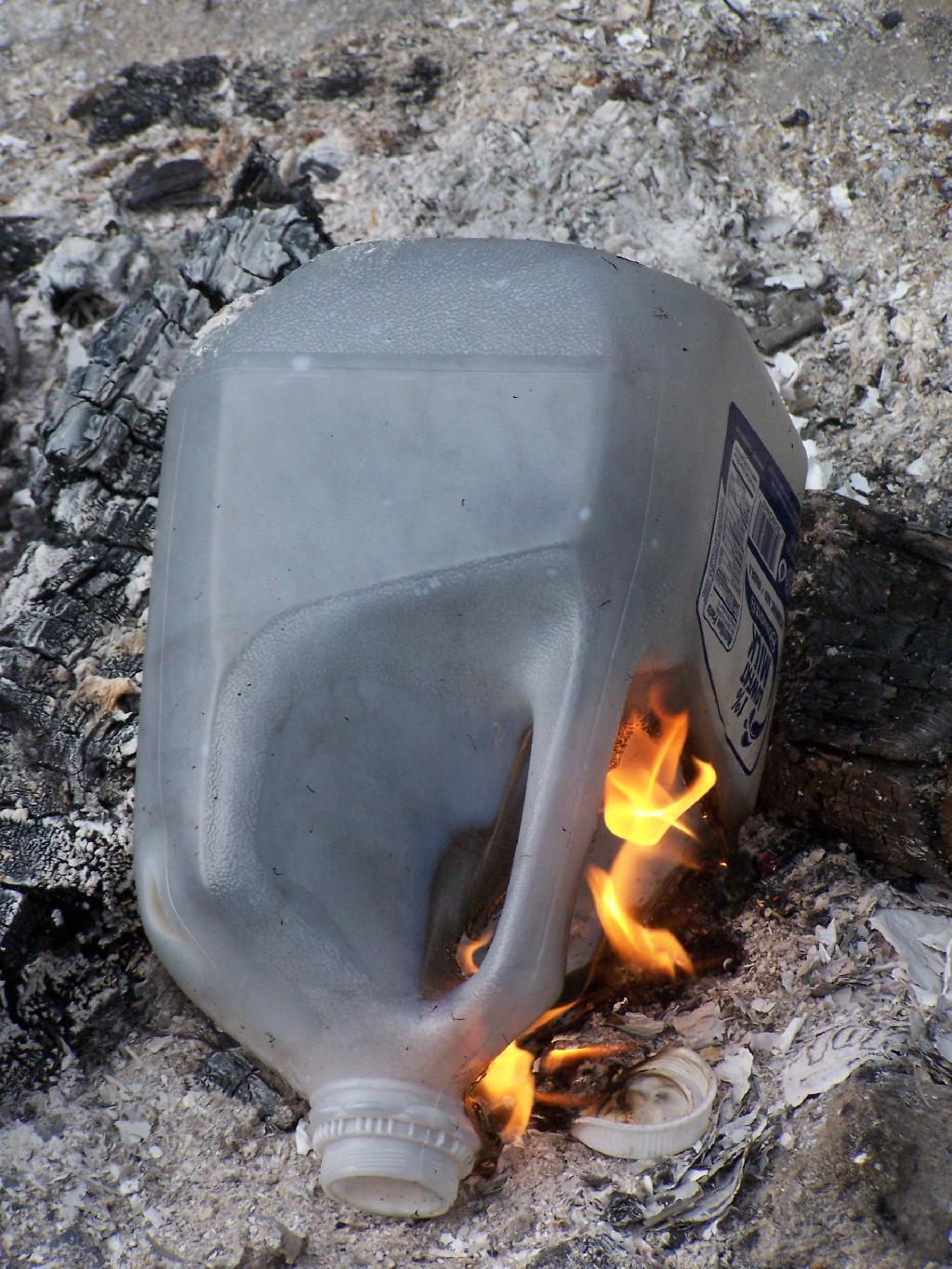
Just cleaning up some of the trash I generated from camping out the past night.
Sunday March 21, 2010 — Fire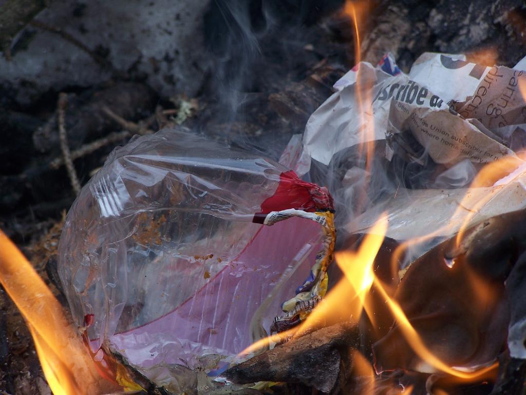
The milk jug further blackens in this picture, as the flames start to melt it down further.
Sunday August 15, 2010 — Fire