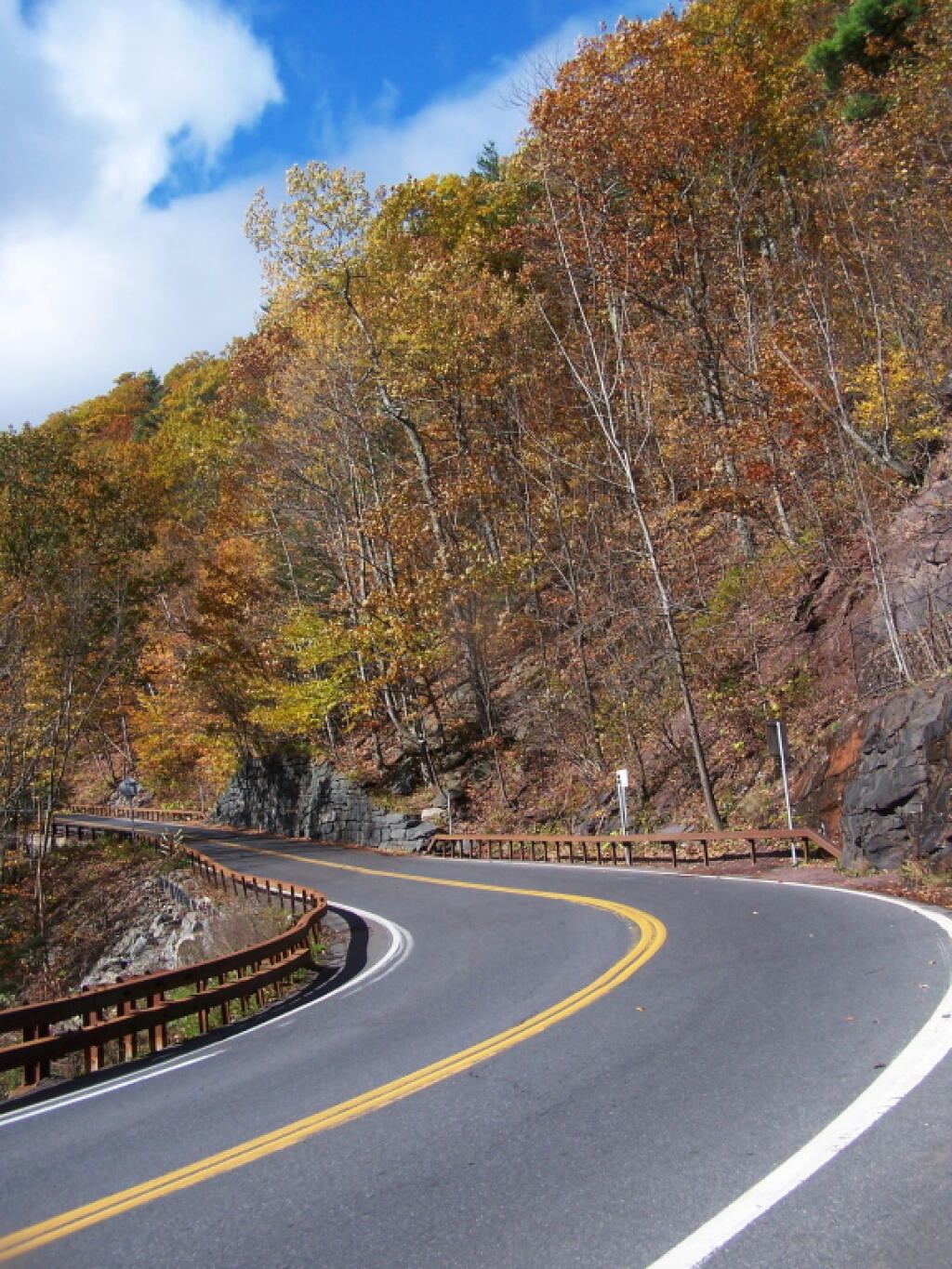
Greene County is a county located in the U.S. state of New York. Its name is in honor of the American Revolutionary War general Nathanael Greene. As of the 2010 census, the population was 49,221. Its county seat is Catskill. It is part of the Albany-Schenectady-Troy Metropolitan Statistical Area.
Greene County is located in southeast central New York State, just west of the Hudson River and south of Albany.
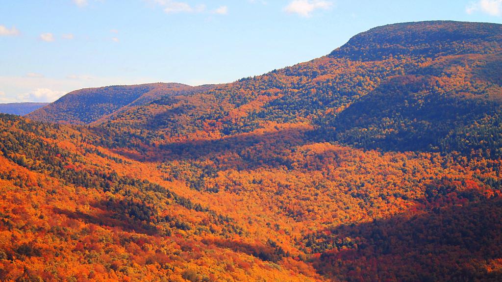
The northern and eastern regions are mostly low-lying flatlands. Along the Hudson River the lowest elevation is at sea level. The southern and western areas rise sharply into the Catskill Mountains.
Catskill Park takes up much of the south central region. The park contains some of the tallest peaks south of the Adirondacks. For example, the highest elevation is Hunter Mountain, at approximately 4,040 feet (1,232 m) above sea level; In addition, there are many picturesque waterfalls in the park such as the famed, Kaaterskill Falls.