North Lake Reservoir 📍

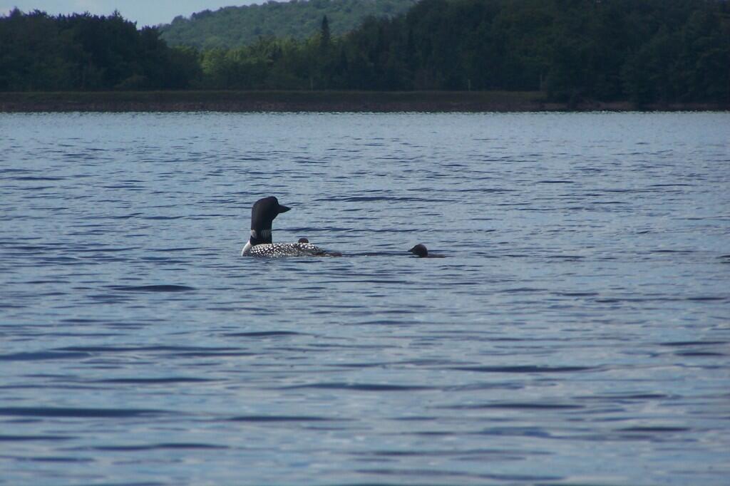
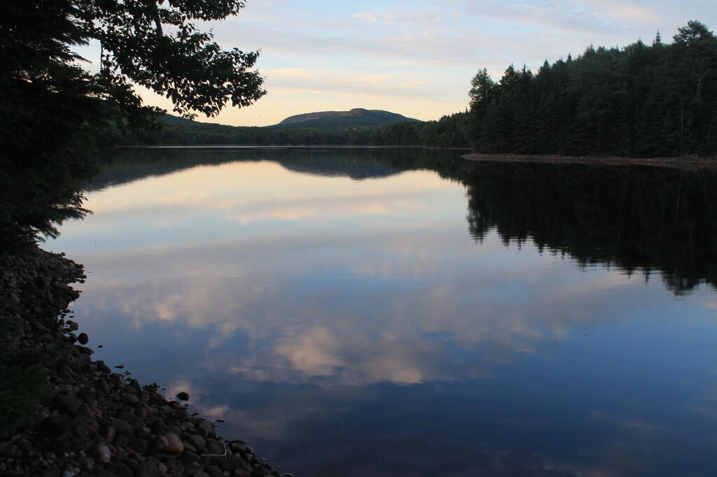
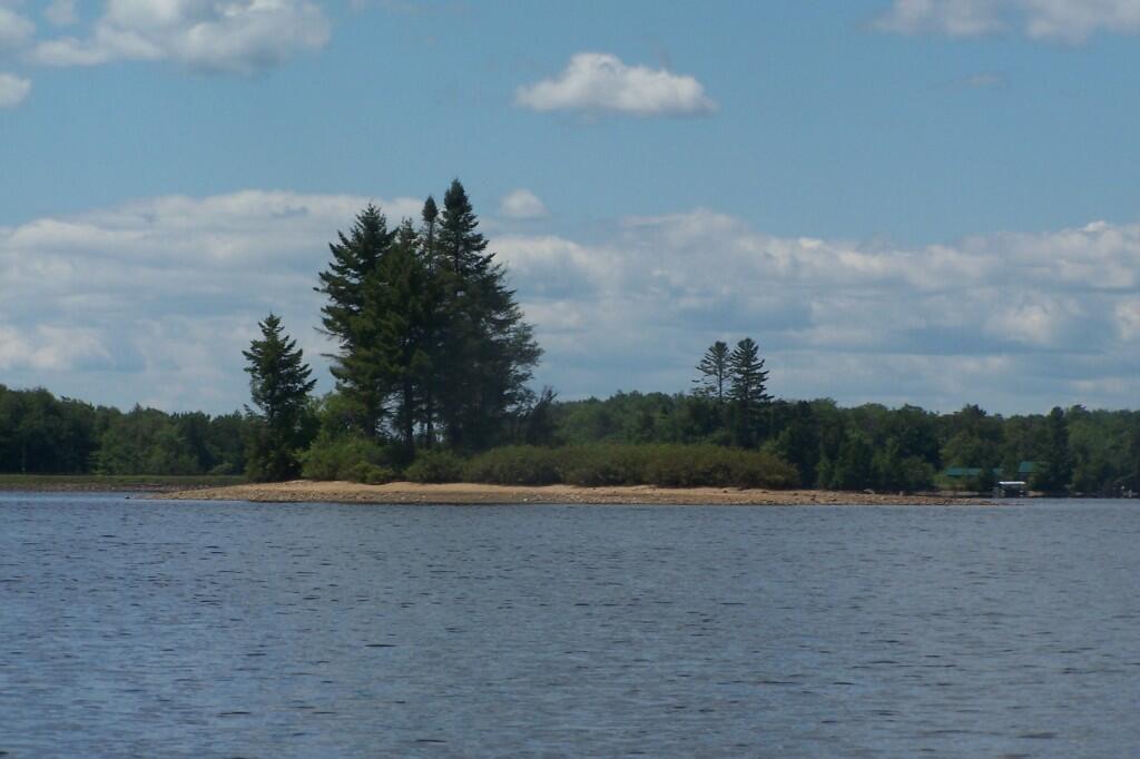
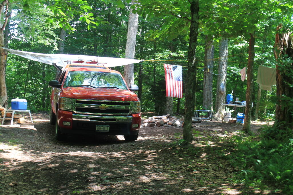
North Lake Reservoir is located at the headwaters of the Black River, and provides a steady supply of water to the Black River and Erie Canal throughout the summer. There are 25 campsites along the North Lake Reservoir, which about half of them having drive-in accessibility.

🗺️ Maps 🖼️ Photos
Map: Ketchumville State Forest

A Guide to North Lake Reservoir

If you are looking to camp on a lake without the cost or crowds in a state campground, look no further than North Lake Reservoir, roughly a 1 hour drive northwest from Utica. Tucked deep within the southwestern foothills of the Adirondacks, this 432-acre reservior serves as part of the vital headwaters of the Black River, and is managed by the state Canal Authority to manage Black River levels and feed the Erie Canal.

South Lake Campsite

 North Lake Reservior

Lakeside Camping Opportunities 🏕

North Lake Reservoir features 25 primitive campsites scattered along its shoreline.

  • Drive-In Sites: Roughly 15 of these locations are accessible by vehicles (ideal for a small truck camper or camper van) along the eastern side.
  • Paddle-In & Walk-In Sites: The remaining sites require a boat or a short hike to access, providing unmatched privacy right on the water’s edge.
  • During Big Game Season Hunter May Stay In Truck Campers at the northern parking area.
  • Eastern Shore-Leanto: There is a paddle-in lean-to north east of Atwell. The road running behind the lean-to is gated and there is no public motor vehicle access.
  • South Reservoir: There is a few designated tent campsites at the nearby South Lake Reservior.
  • Regulations: Sites are free and operate on a first-come, first-served basis. However, a self-issued permit at the registration booth is required for stays longer than three nights.
NameDetailsLatitudeLongtitudeMap
North Lake Easement Campsite #22Estimated location43.5586996338503-74.9114621565782https://geohack.toolforge.org/geohack.php?params=43.5586996338503_N_74.9114621565782_W
North Lake Easement Campsite #21Estimated location43.5574469637497-74.9131882892042https://geohack.toolforge.org/geohack.php?params=43.5574469637497_N_74.9131882892042_W
North Lake Easement Campsite #20Estimated location43.5571526775105-74.9069547398823https://geohack.toolforge.org/geohack.php?params=43.5571526775105_N_74.9069547398823_W
North Lake Easement Campsite #19Estimated location43.5553199190986-74.9069575598221https://geohack.toolforge.org/geohack.php?params=43.5553199190986_N_74.9069575598221_W
North Lake Easement Campsite #18Estimated location43.5550371288288-74.9154465106268https://geohack.toolforge.org/geohack.php?params=43.5550371288288_N_74.9154465106268_W
North Lake Easement Campsite #17Estimated location43.5530130923597-74.91770402697https://geohack.toolforge.org/geohack.php?params=43.5530130923597_N_74.91770402697_W
North Lake Easement Campsite #16Estimated location43.5517563653472-74.9139922128019https://geohack.toolforge.org/geohack.php?params=43.5517563653472_N_74.9139922128019_W
North Lake Easement Campsite #15Estimated location43.5478058863396-74.9200982213413https://geohack.toolforge.org/geohack.php?params=43.5478058863396_N_74.9200982213413_W
North Lake Easement Campsite #14Estimated location43.5474181574306-74.9174464064388https://geohack.toolforge.org/geohack.php?params=43.5474181574306_N_74.9174464064388_W
North Lake Easement Campsite #13Estimated location43.541733101418-74.9264712285171https://geohack.toolforge.org/geohack.php?params=43.541733101418_N_74.9264712285171_W
North Lake Easement Campsite #12Estimated location43.5403822152936-74.9258098655333https://geohack.toolforge.org/geohack.php?params=43.5403822152936_N_74.9258098655333_W
Sand Lake Falls Trail Snowmobile Bridge10 Feet By 12 Feet Wooden Snowmobile Bridge43.5388500166372-74.9548783945609https://geohack.toolforge.org/geohack.php?params=43.5388500166372_N_74.9548783945609_W
North Lake Lean-To43.5341150063155-74.928093531276https://geohack.toolforge.org/geohack.php?params=43.5341150063155_N_74.928093531276_W
North Lake Campsites Privy #11As the campsite sign says, “trees are for shade not for shitting”43.5299290793057-74.9402364716309https://geohack.toolforge.org/geohack.php?params=43.5299290793057_N_74.9402364716309_W
North Lake Designated Campsite #1143.5297798790454-74.9403575898052https://geohack.toolforge.org/geohack.php?params=43.5297798790454_N_74.9403575898052_W
North Lake Campsites Privy #1043.5292201323126-74.9427227130331https://geohack.toolforge.org/geohack.php?params=43.5292201323126_N_74.9427227130331_W
North Lake Designated Campsite #1043.528988875951-74.942471427145https://geohack.toolforge.org/geohack.php?params=43.528988875951_N_74.942471427145_W
North Lake Campsites Privy #843.5280598247324-74.9440476462514https://geohack.toolforge.org/geohack.php?params=43.5280598247324_N_74.9440476462514_W
North Lake Designated Campsite #943.5280007371829-74.9432768390509https://geohack.toolforge.org/geohack.php?params=43.5280007371829_N_74.9432768390509_W
North Lake Designated Campsite #843.5277540584479-74.9441033818022https://geohack.toolforge.org/geohack.php?params=43.5277540584479_N_74.9441033818022_W
Loop Road Gate43.5260055091305-74.9453440690948https://geohack.toolforge.org/geohack.php?params=43.5260055091305_N_74.9453440690948_W
North Lake Designated Campsite #743.5260055091305-74.9453440690948https://geohack.toolforge.org/geohack.php?params=43.5260055091305_N_74.9453440690948_W
North Lake Campsites Privy #643.5259416382-74.9458091822692https://geohack.toolforge.org/geohack.php?params=43.5259416382_N_74.9458091822692_W
North Lake Designated Campsite #643.525693870876-74.9457962745077https://geohack.toolforge.org/geohack.php?params=43.525693870876_N_74.9457962745077_W
Sand Lake Falls Trail GateMetal, Open During Snowmobile Season43.5256786996675-74.9466792227226https://geohack.toolforge.org/geohack.php?params=43.5256786996675_N_74.9466792227226_W
Sand Lake Falls Trail Register43.525314672805-74.9468669817631https://geohack.toolforge.org/geohack.php?params=43.525314672805_N_74.9468669817631_W
North Lake Designated Campsite #543.5252680660782-74.9464217345928https://geohack.toolforge.org/geohack.php?params=43.5252680660782_N_74.9464217345928_W
North Lake Campsites Privy #443.5252068772051-74.9471657992313https://geohack.toolforge.org/geohack.php?params=43.5252068772051_N_74.9471657992313_W
North Lake Designated Campsite #443.5250609486543-74.946959432128https://geohack.toolforge.org/geohack.php?params=43.5250609486543_N_74.946959432128_W
North Lake Designated Campsite #343.5233538125407-74.9493420745276https://geohack.toolforge.org/geohack.php?params=43.5233538125407_N_74.9493420745276_W
North Lake Designated Campsite #2First Campsite On North Lake, #1 Was Removed To Install The Kiosk43.5229301875308-74.9493388899872https://geohack.toolforge.org/geohack.php?params=43.5229301875308_N_74.9493388899872_W
North Lake KioskWooden Kiosk Containing Trail/Camping Register And Interpretive Display43.5226142740941-74.9482756400862https://geohack.toolforge.org/geohack.php?params=43.5226142740941_N_74.9482756400862_W
South Lake Parking Lot43.5186356393988-74.9093101825925https://geohack.toolforge.org/geohack.php?params=43.5186356393988_N_74.9093101825925_W
South Lake Boat Launch43.5183694975556-74.9078541191458https://geohack.toolforge.org/geohack.php?params=43.5183694975556_N_74.9078541191458_W
South Lake Campsite 243.5175562556042-74.9042772230329https://geohack.toolforge.org/geohack.php?params=43.5175562556042_N_74.9042772230329_W
South Shore Road GateMetal43.516981051972-74.9106157021914https://geohack.toolforge.org/geohack.php?params=43.516981051972_N_74.9106157021914_W
South Lake Campsite 143.5167022625707-74.9092792259692https://geohack.toolforge.org/geohack.php?params=43.5167022625707_N_74.9092792259692_W

Untitled

Motorboats Allowed; Fishing Modest 🛥 🐟

Unlike many remote Adirondack ponds that restrict motorized use, motorboats are permitted on North Lake Reservoir. A small gravel boat launch makes it easy to get small motorized vessels, canoes, or kayaks onto the water. If you seeking solitude, you might be awoken by a motorboat. The reservoir is shallow and rocky in parts, use care when motorboating or paddling. While the reservoir has a medium acid content—making it a modest fish producer—anglers can still cast their lines for tiger muskie, white sucker, perch, and bullhead.

Sparking Sun on Shoreline

Development – Conservation Easement 🌲 🏠 🌲

North Lake is partially developed. While you will enjoy plenty of pristine shoreline, you will also spot private cabins and camps interspersed along the south east of the waterfront:

  • Southern Shoreline: Falling within the public, state-owned borders of the Black River Wild Forest.
  • Northern Shoreline: Protected under the North Lake Conservation Easement Tract. This agreement allows for public recreation rights such as hiking, hunting, fishing, trapping and camping at designated sites.

Sparking Sun on Shoreline

Historic Atwell and the Valve House 🏤

Rich local history is anchored at the reservoir’s southern tip in the historic, ghost-like hamlet of Atwell, New York. The settlement was named after Atwell Martin, a legendary local hermit rumored to protect a secret silver mine with silver musket balls. When visiting, you can drive across the North Lake Dam (built originally in 1857) and spot the historic valve house resting just below the embankment. Nearby sits the decaying 1892 North Lake State House, which once housed the official reservoir tender tasked with hand-turning the water valves to feed the Erie Canal network.

Customs House

Nearby Trails, Peaks, and Twin Lakes 🚶

The surrounding trail system connects you to excellent backcountry hikes and adjacent waterways:

  • Ice House Mountain: Rising up near the easement tract, this peak offers a challenging hike through rugged boulder fields and dense Adirondack forests.
  • Stone Dam Trail: Accessible from North Lake Road, this 11.5-mile path treks deep past small streams and Stone Dam Lake toward Chub Pond.
  • South Lake Reservoir: Located just a short distance down the road, North Lake’s sister reservoir offers a largely undeveloped, deeply isolated paddling alternative once you leave the western most portion of the lake.

Black River

How to Get There 🗺

While you start out on asphalt North Lake Road in Forestport, it is a nice smooth drive. However, rhe road gets notably rougher as you get closer to North Lake – eventually becoming dirt. The unpaved forest road is open to all vehicles however it can be punishing on your suspension with many bumps and washboards. Slow down! ⚠

  1. From Route 28 in Forestport / Otter Lake, look for the turnoff heading east toward the old Buffalo Head restaurant site.
  2. Turn onto North Lake Road.
  3. Proceed with caution along this dirt and gravel forest service road for approximately 30 to 40 minutes (roughly 16 miles).
  4. The road will lead you directly into the hamlet of Atwell and across the reservoir’s dam.

Note: Cell service is virtually non-existent out here. Be sure to download offline maps or carry a physical topographic map before leaving Route 28!

State House on North Lake

Ice Cave Mountain in Shadow

Map: East Branch Sacandaga River - NY 8
SVGZ Graphic: Median Household Income in the Capital Region (2021)
Thematic Map: Wetlands of Albany County
Thematic Map: Speed Limit on Interstates and State Touring Routes in Capital Region
Map: Severence Hill Trail
Map: Shindagin Hollow State Forest Ortho

South Lake Road

About 2 miles from North Lake Reservoir, there is South Lake Reservoir, another State Canal Corporation Reservoir, providing water as necessary to the Erie Canal.

Sunday September 11, 2011 — North Lake Reservoir
Map: Silver Lake