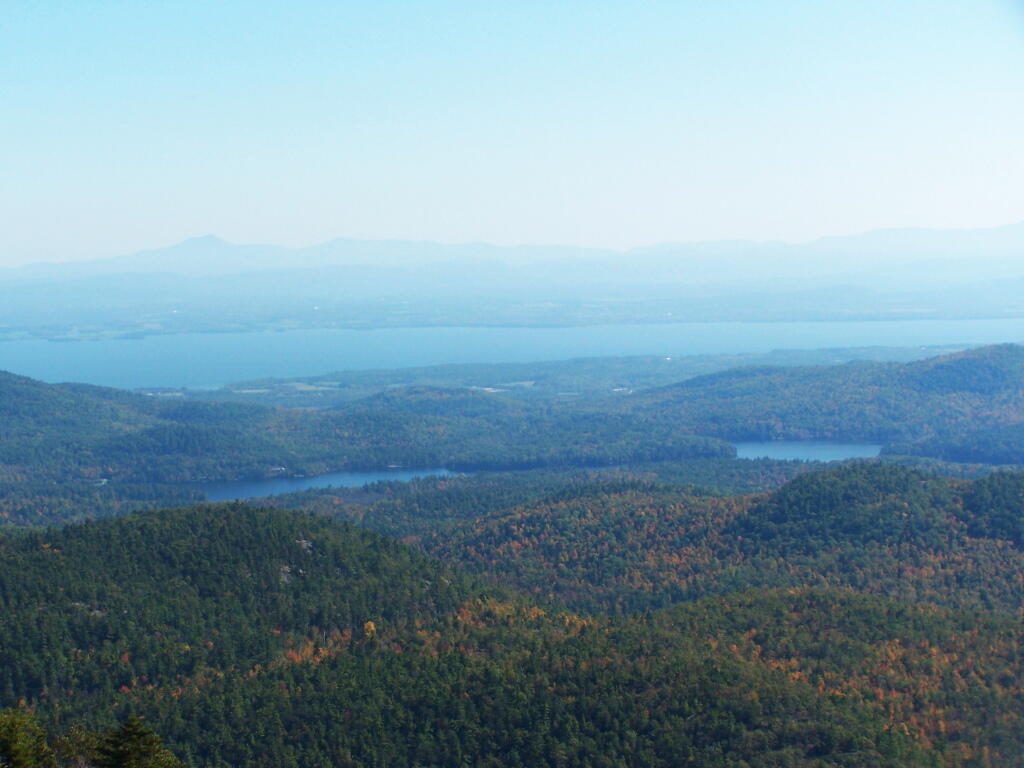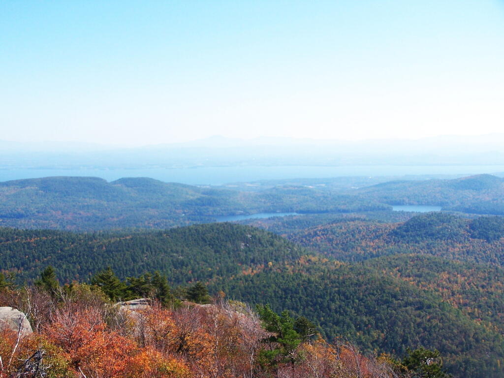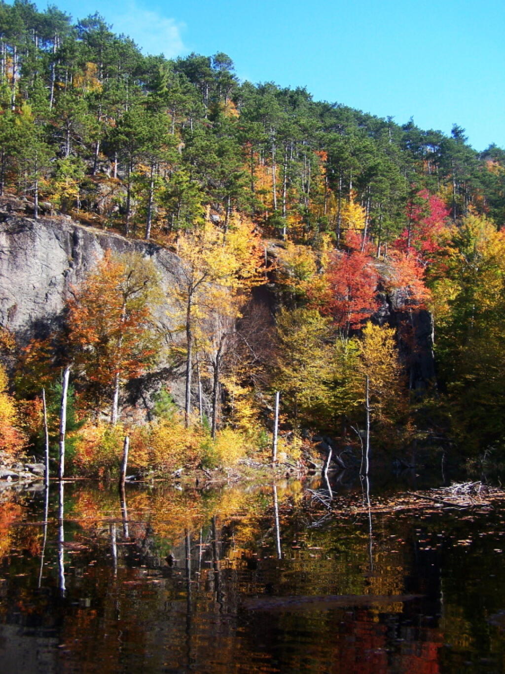
Starting Up the Trail 🖼️

Download a JPEG Image of the Starting Up the Trail.
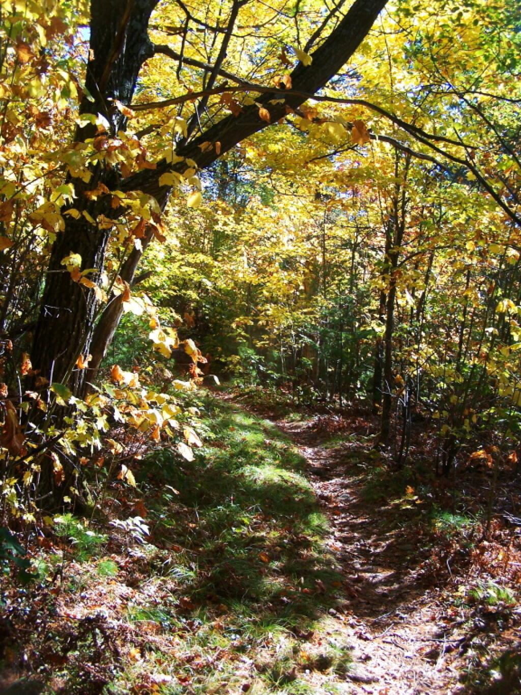
Starting Up the Trail ...
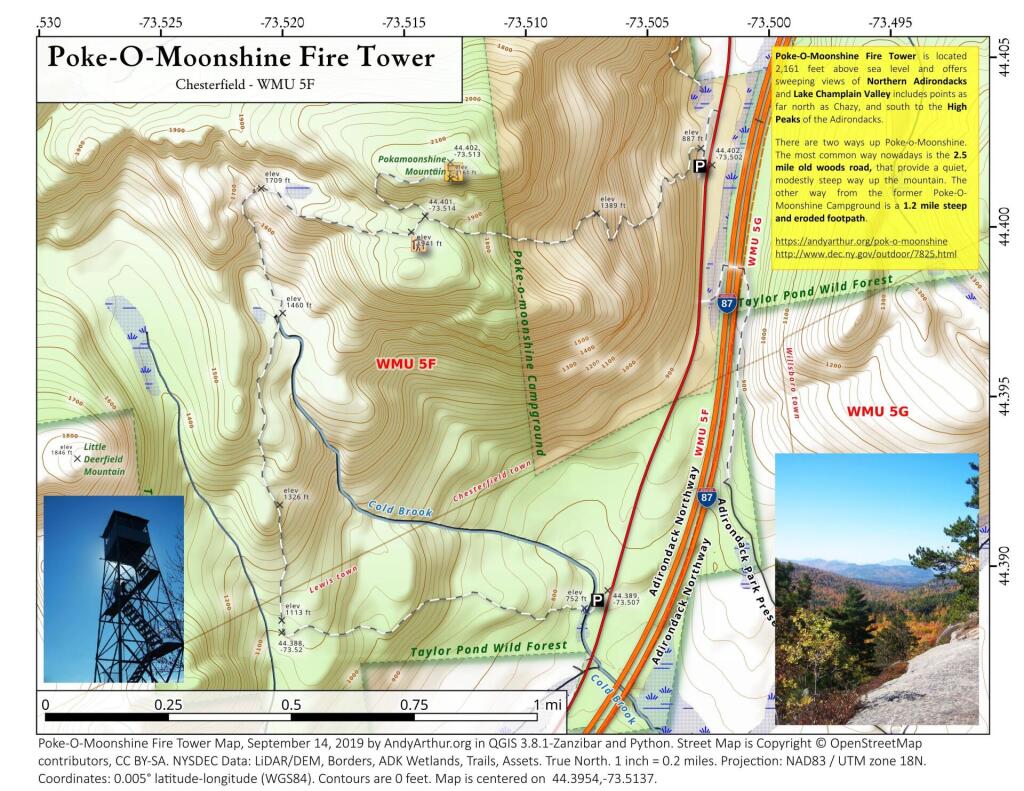
No part of the trail is particularly steep, though there are some moderately steep section on the former Jeep Trail.
Taken on Saturday October 8, 2011 at Pok-O-Moonshine.
More about Pok-O-Moonshine...
Poke-O-Moonshine Mountain, spelled Pokamoonshine on U.S. Geological Survey maps, and sometimes known as just Poke-O, is a minor peak of the Adirondack Mountains. The name is believed to be a corruption of the Algonquin words pohqui, meaning 'broken', and moosie, meaning 'smooth'. It is located in the town of Chesterfield, New York, United States, on New York state Forest Preserve land, part of the Taylor Pond Wild Forest complex within the Adirondack Park. Due to its location next to the pass through which most travelers from the north enter the range, it has been called the "gateway to the Adirondacks".
https://www.wikiwand.com/en/Poke-O-Moonshine_Mountain