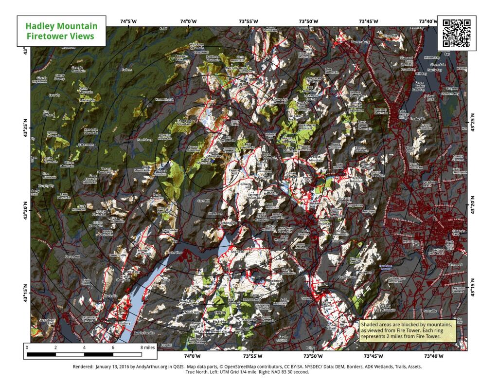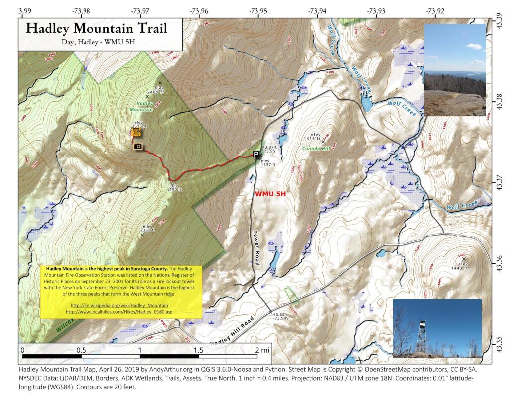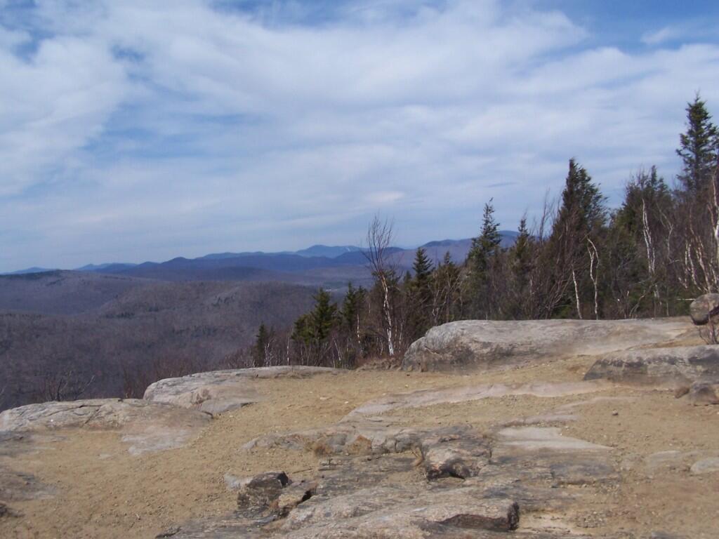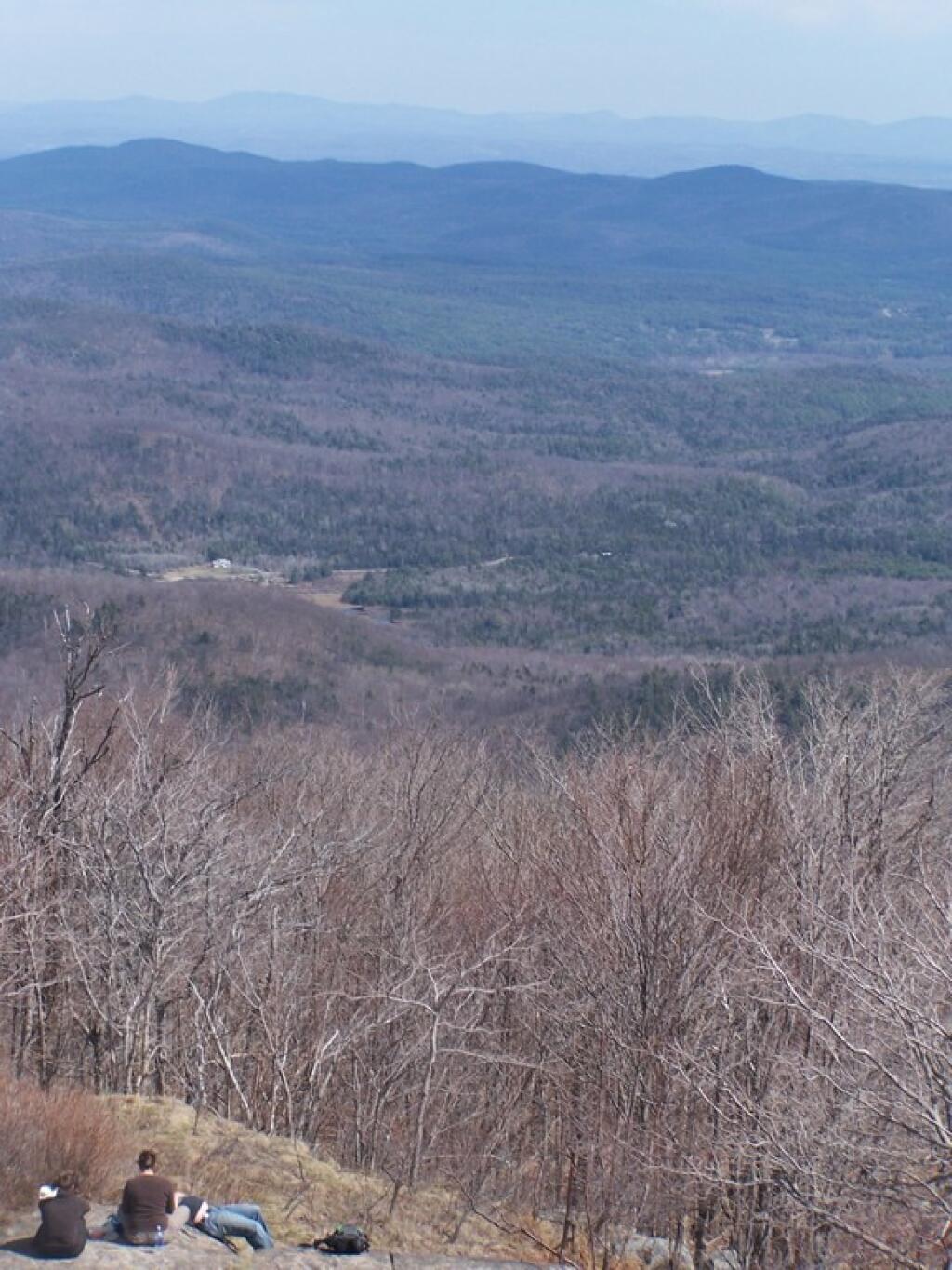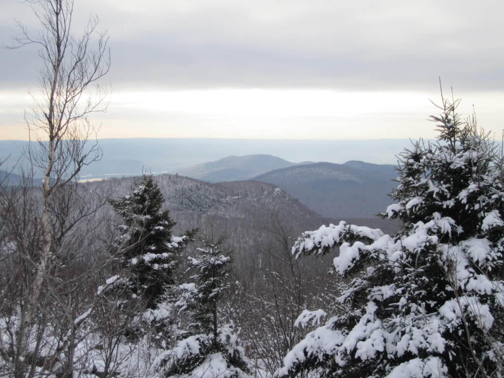
Firetower Restored 🖼️

Download a High Resolution JPEG Image of the Firetower Restored or an Adobe Acrobat Printable PDF of the Firetower Restored.
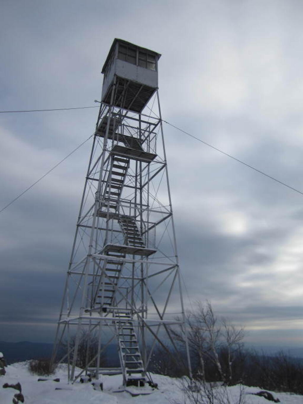
Firetower Restored ...
A brief history of the Fire Tower on top of Hadley Mountain.
Taken on Friday April 17, 2009 at Hadley Mountain.
More about Hadley Mountain...
Hadley Mountain is a mountain located in the southern Adirondacks of the U.S. state of New York and is the highest peak in Saratoga County. The Hadley Mountain Fire Observation Station was listed on the National Register of Historic Places on September 23, 2001 for its role as a Fire lookout tower with the New York State Forest Preserve. Hadley Mountain is the highest of the three peaks that form the West Mountain ridge.
http://en.wikipedia.org/wiki/Hadley_Mountain
http://www.localhikes.com/Hikes/Hadley_0160.asp
Download the PDF Map Pack with All Maps from Hadley Mountain.