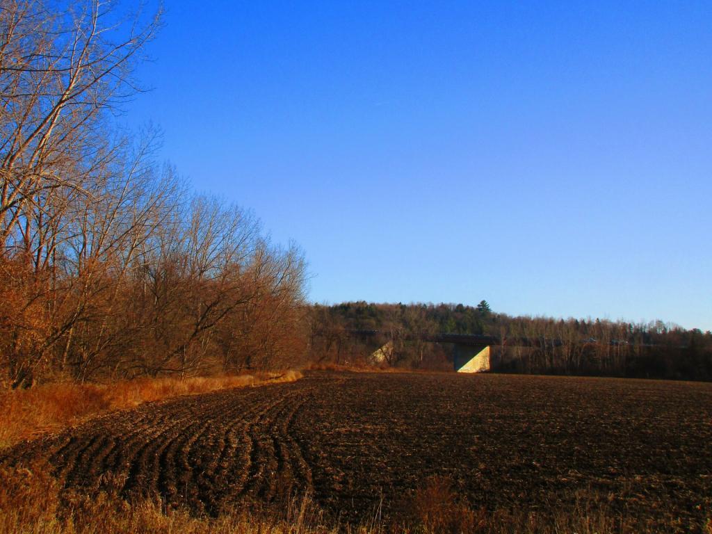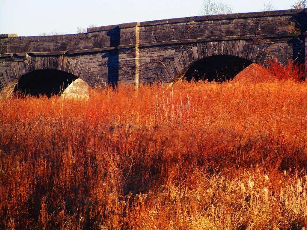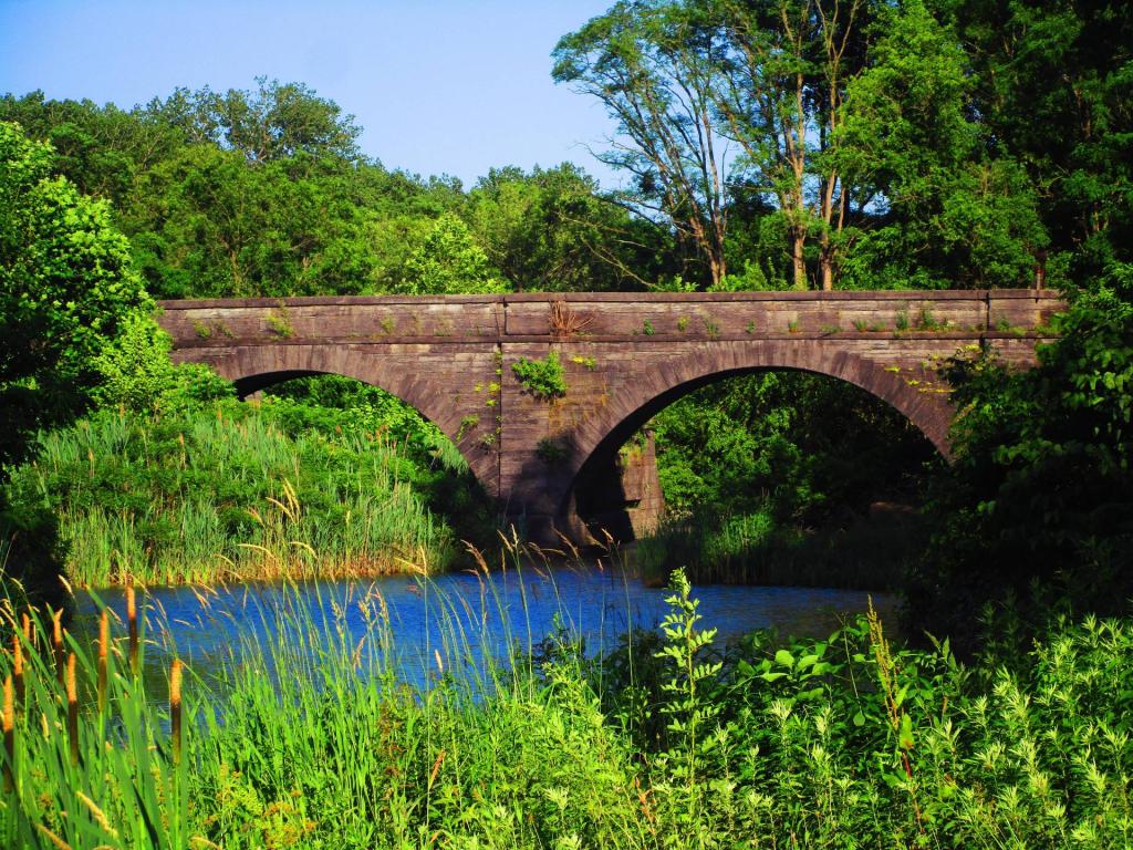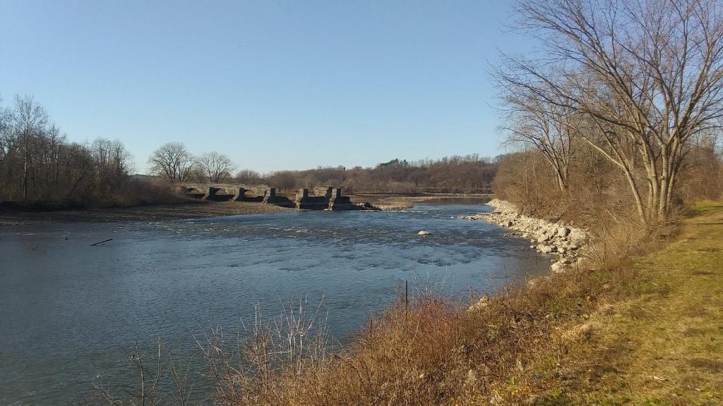
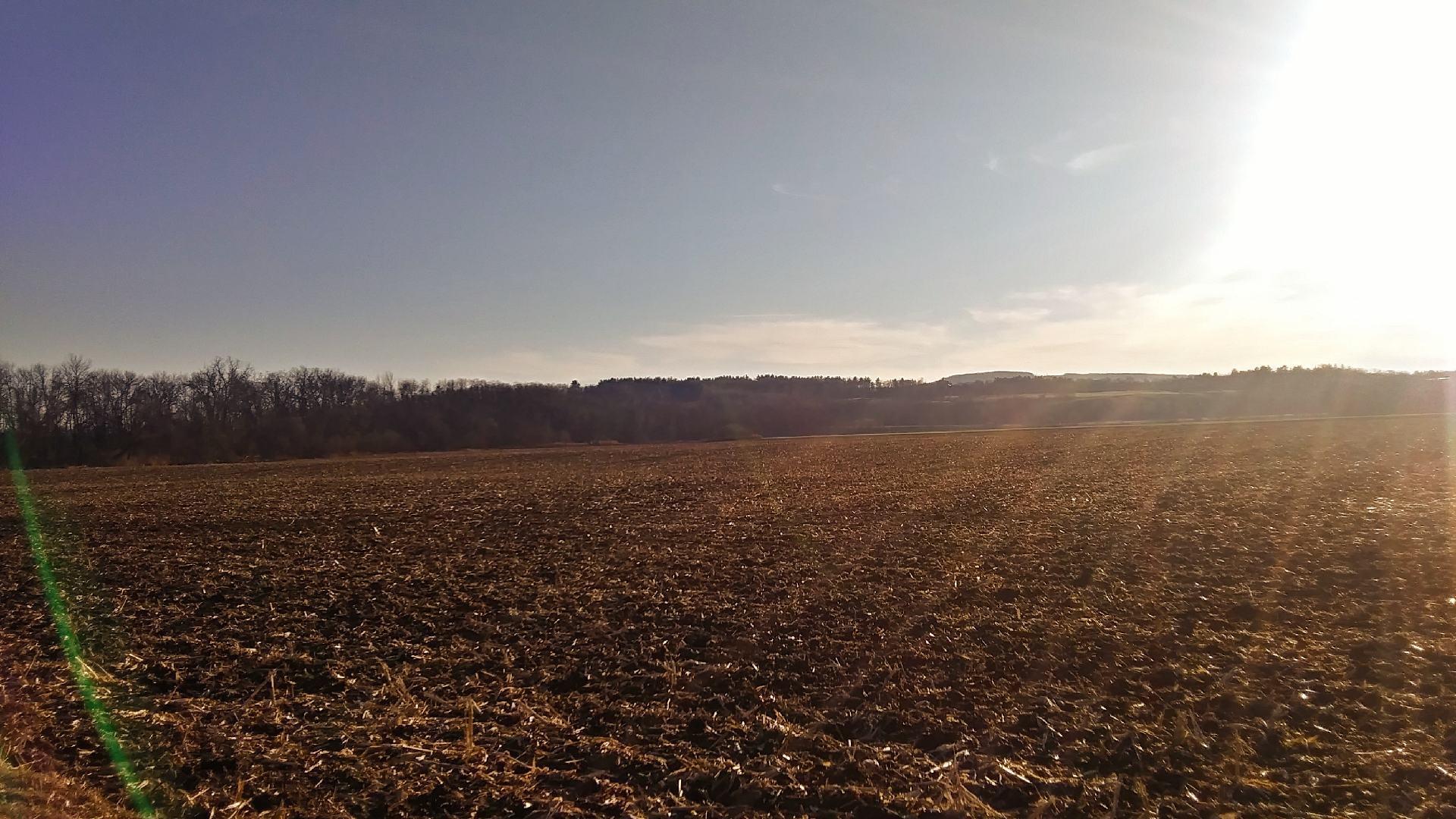
Rich soils of the lands along the Schoharie 🖼️
Download a High Resolution JPEG Image of the Rich soils of the lands along the Schoharie or an Adobe Acrobat Printable PDF of the Rich soils of the lands along the Schoharie.
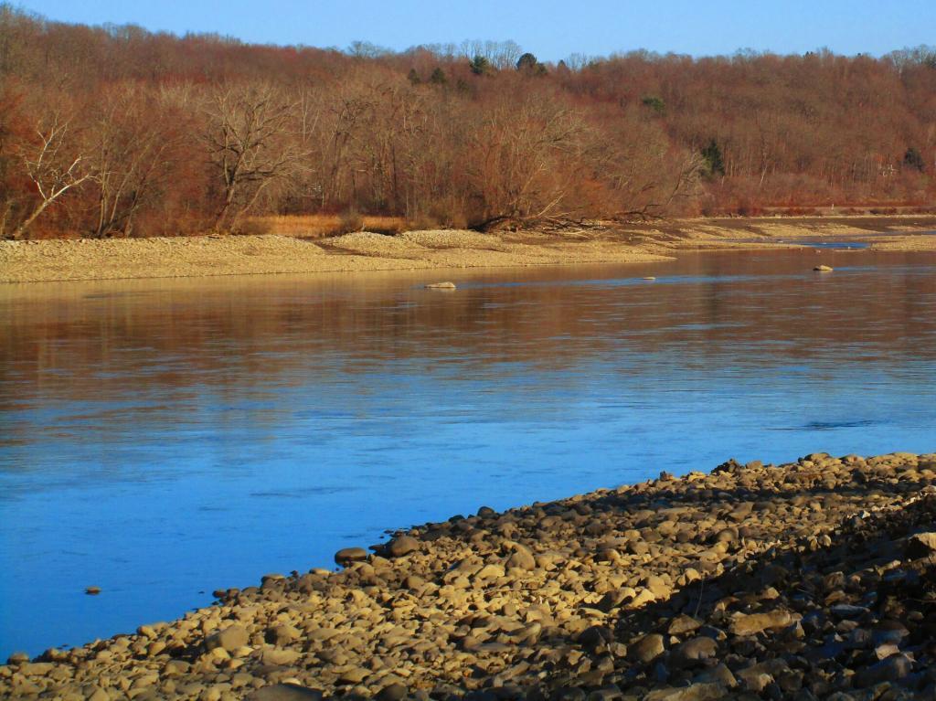
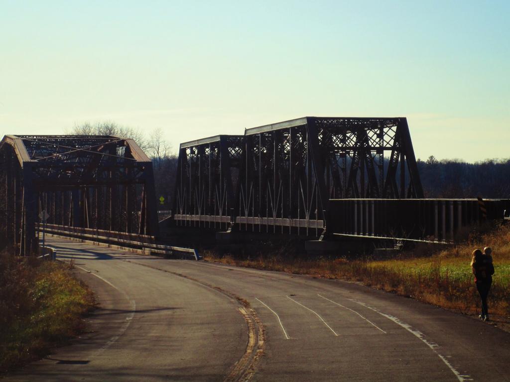
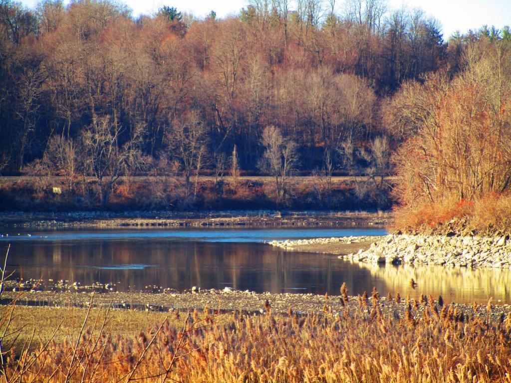
Rich soils of the lands along the Schoharie ...
Taken on Sunday November 29, 2020 at Schoharie Crossing Historic Site.
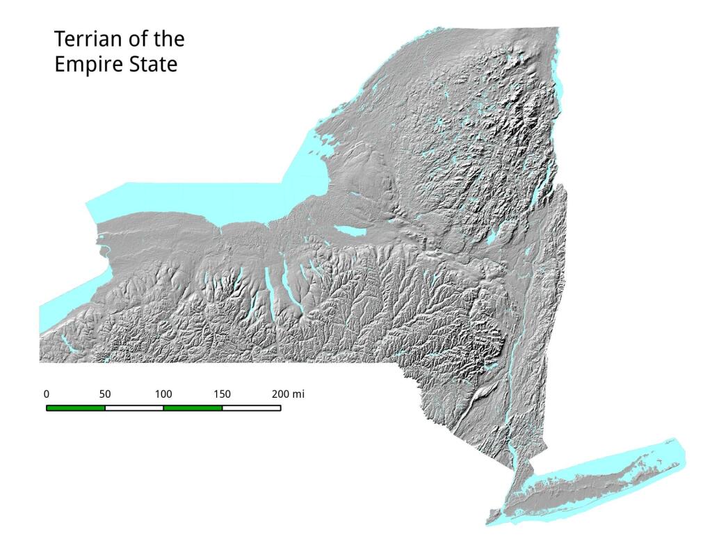
More about Schoharie Crossing Historic Site...
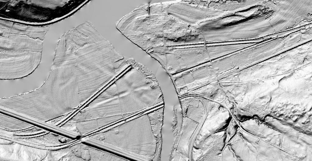
Schoharie Crossing State Historic Site, also known as Erie Canal National Historic Landmark, is a historic district that includes the ruins of the Erie Canal aqueduct over Schoharie Creek, and a 3.5-mile long part of the Erie Canal, in the towns of Glen and Florida.