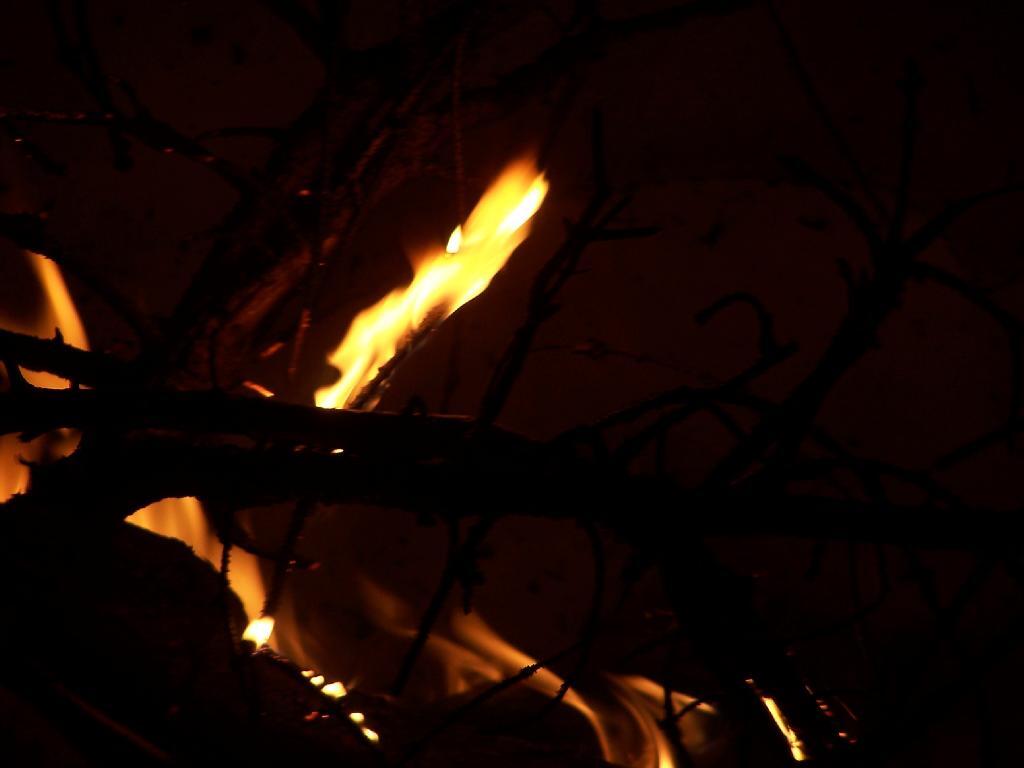
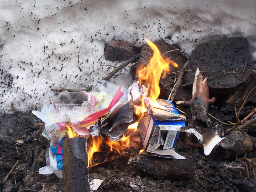
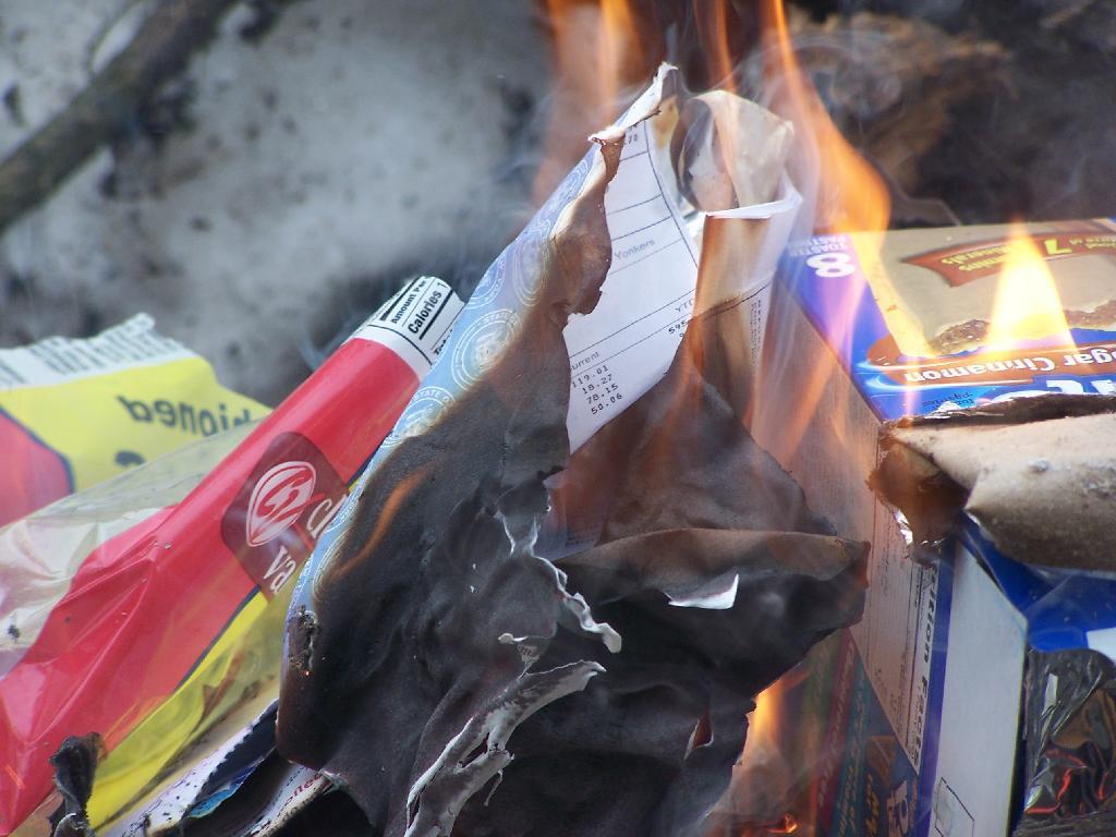
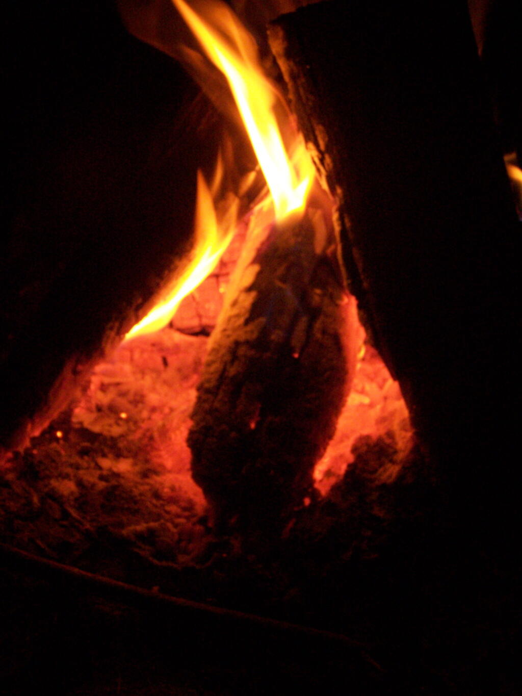
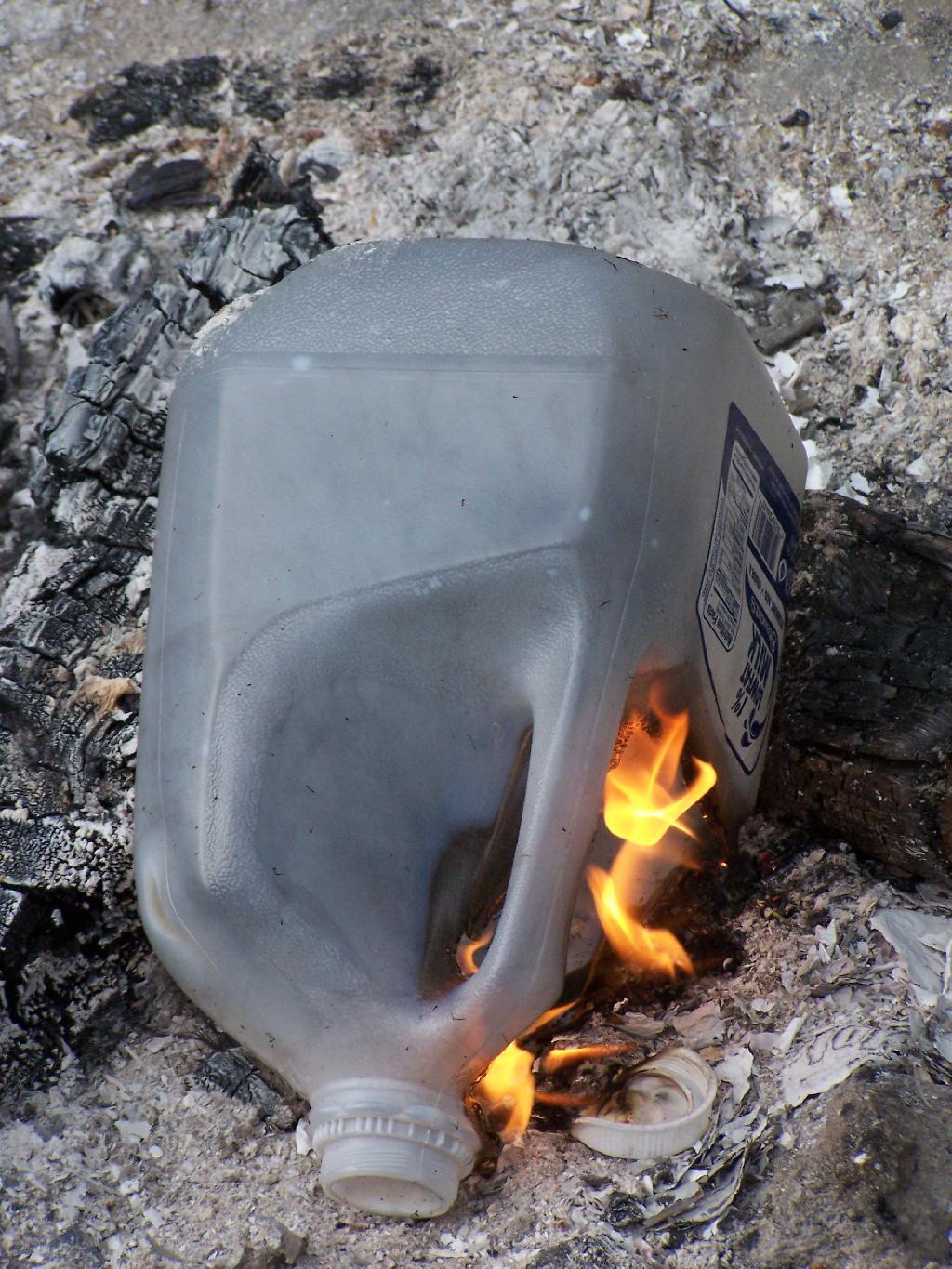
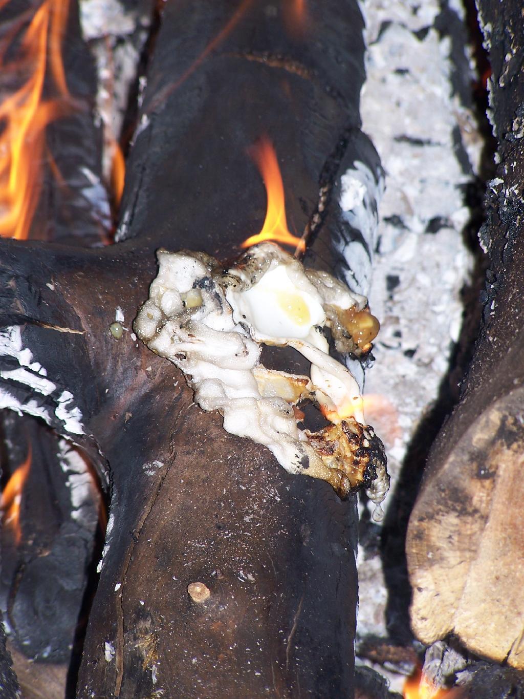
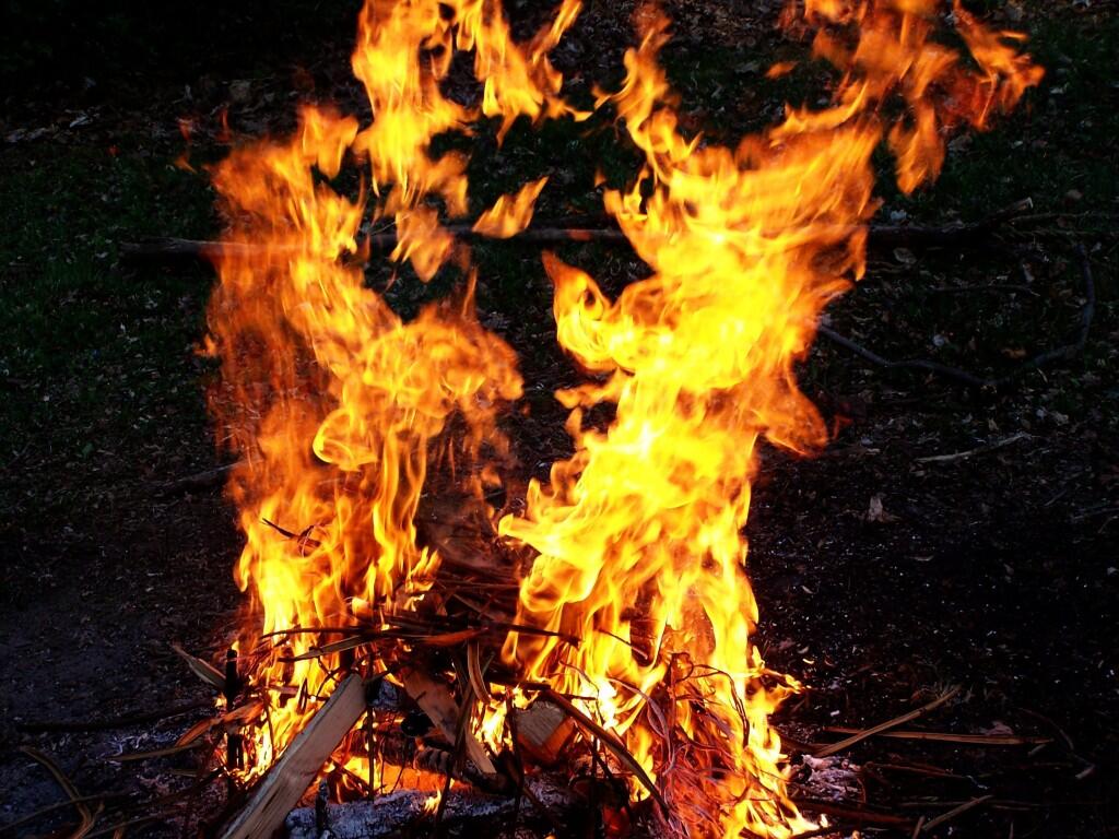
Fire 🖼️ Download a JPEG Image of the Fire. Fire ... Taken on Saturday May 2, 2009 at Fire. More about Fire... Leave a Reply Cancel replyYour email address will not be published. Required fields are marked *Comment * Name * Email * Website Δ
Leave a Reply Cancel replyYour email address will not be published. Required fields are marked *Comment * Name * Email * Website Δ