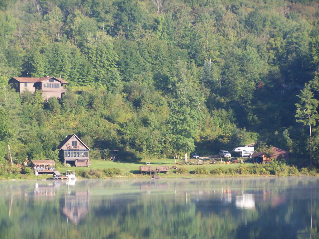
Monagup Mountain Range 🖼️

Download a JPEG Image of the Monagup Mountain Range.
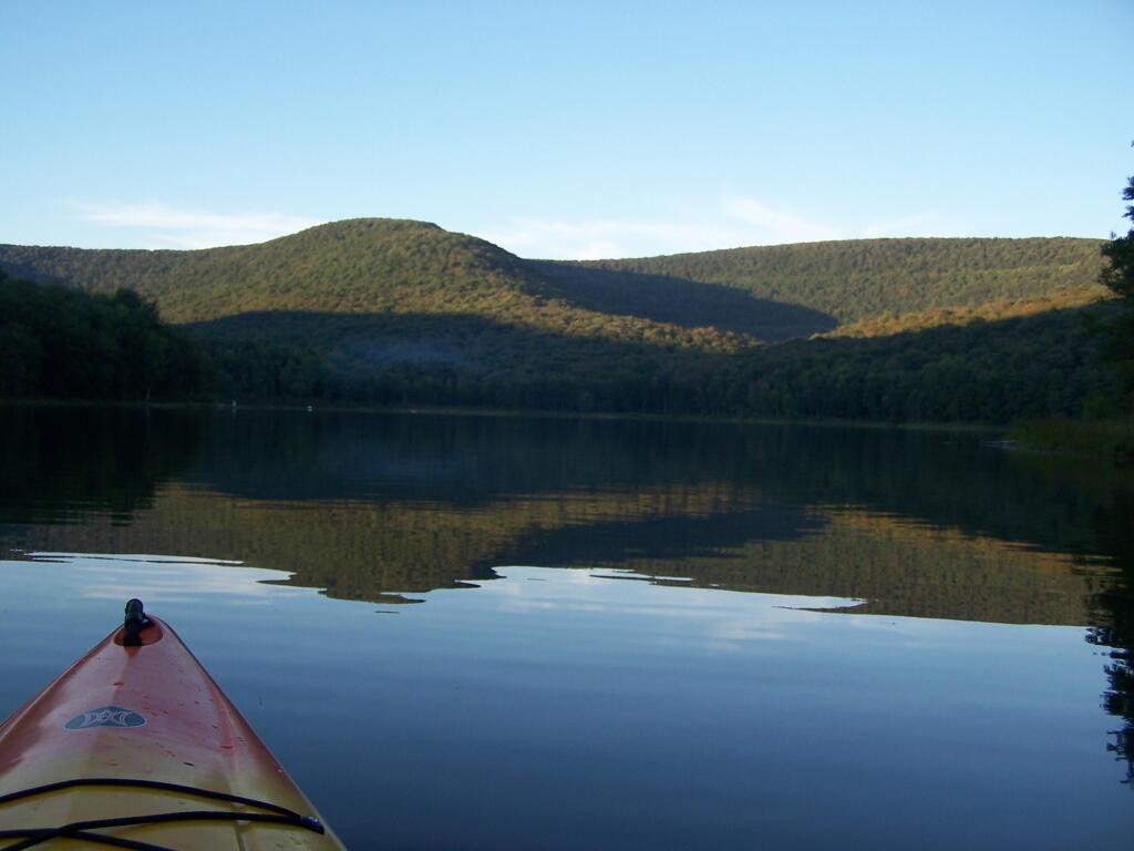
Monagup Mountain Range ...
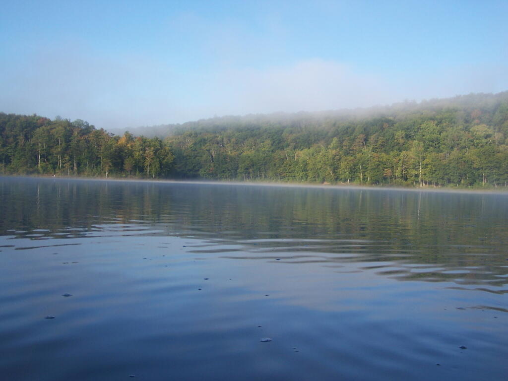
This looking south across the pond, down towards where the put in and the dam is located.
Taken on Saturday August 28, 2010 at Big Pond.
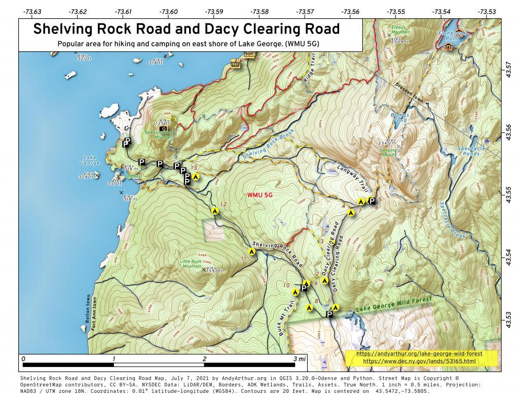
More about Big Pond...
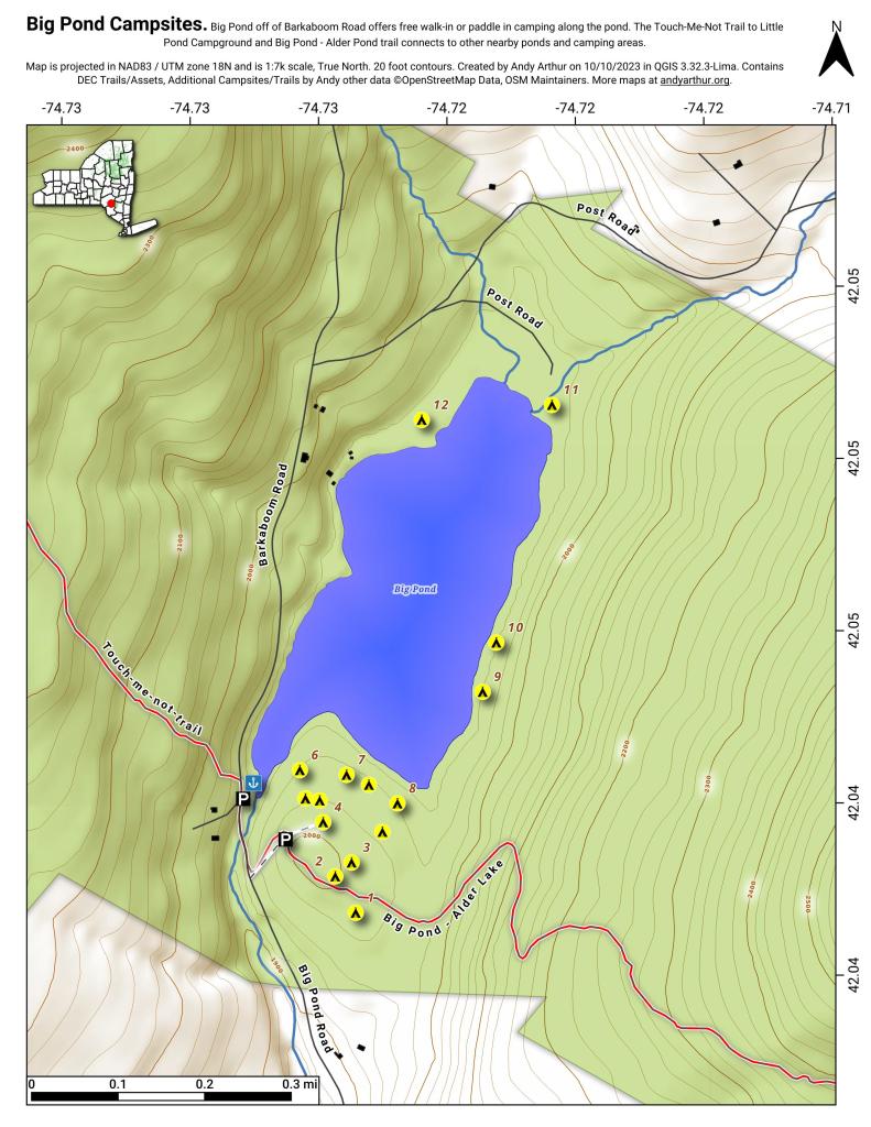
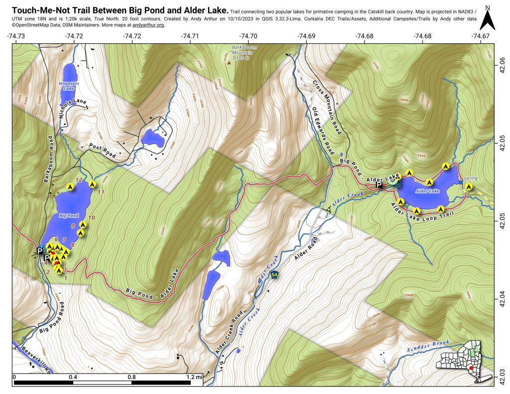
At 50‐acre Big Pond, non‐motorized boats can be launched from the small parking lot. Several unmarked trails andmeadows connect a larger parking lot a few hundred feet to the south oft he lake. Big Pond is about one‐half mile north of the entrance road to Little Pond Campground on Barkaboom Road.
Download the PDF Map Pack with All Maps from Big Pond.