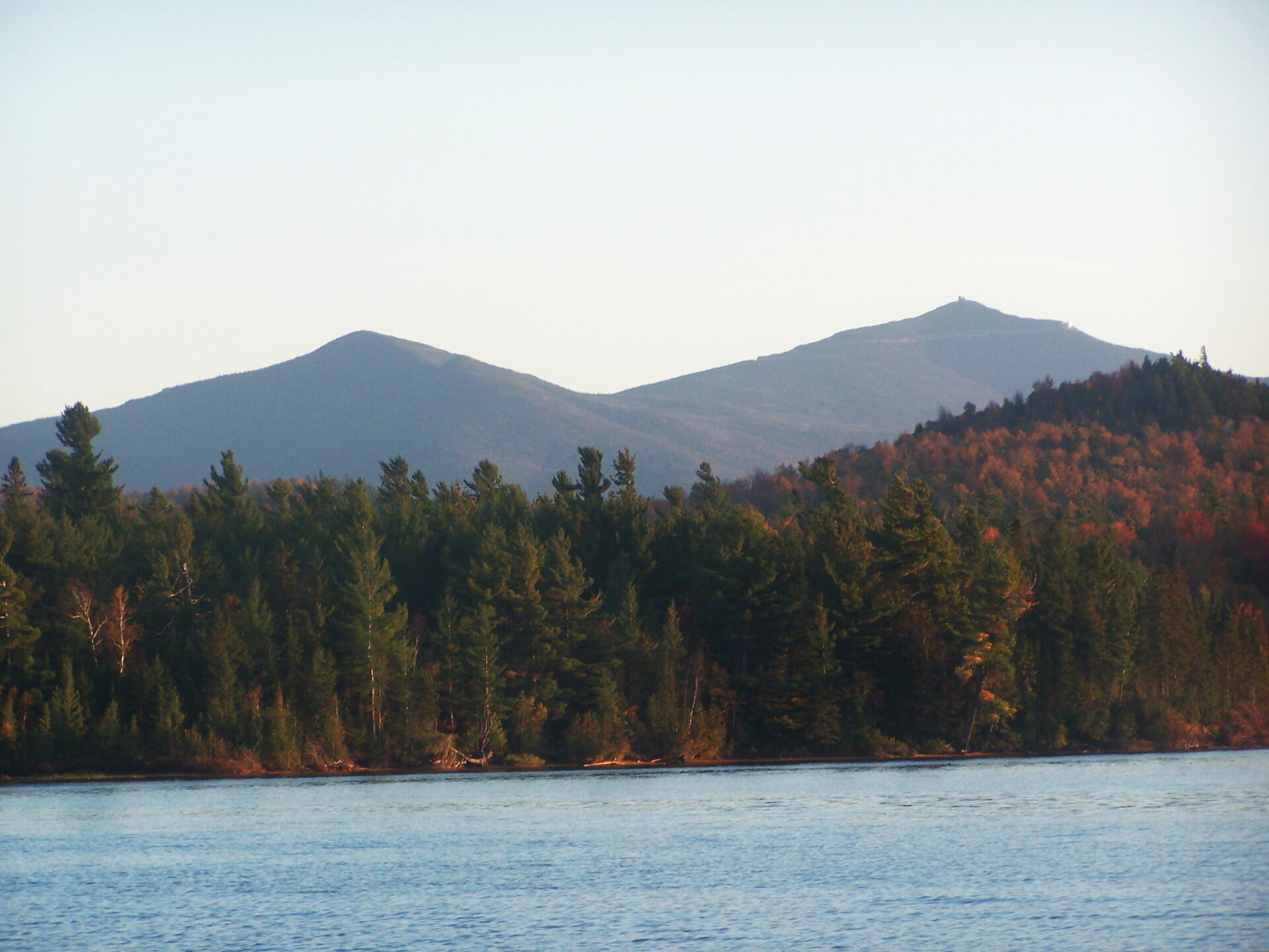
Whiteface and Catamount Mountain in Evening 🖼️
Download a High Resolution JPEG Image of the Whiteface and Catamount Mountain in Evening or an Adobe Acrobat Printable PDF of the Whiteface and Catamount Mountain in Evening.
Whiteface and Catamount Mountain in Evening ...
Taken on Saturday October 8, 2011 at Union Falls Pond.

More about Union Falls Pond...
A 3-mile lake north of Franklin Falls in the southeast part of the Town of Franklin. Offers paddling with breathtaking views of Whiteface Mountain, with several campsites along the lake.


