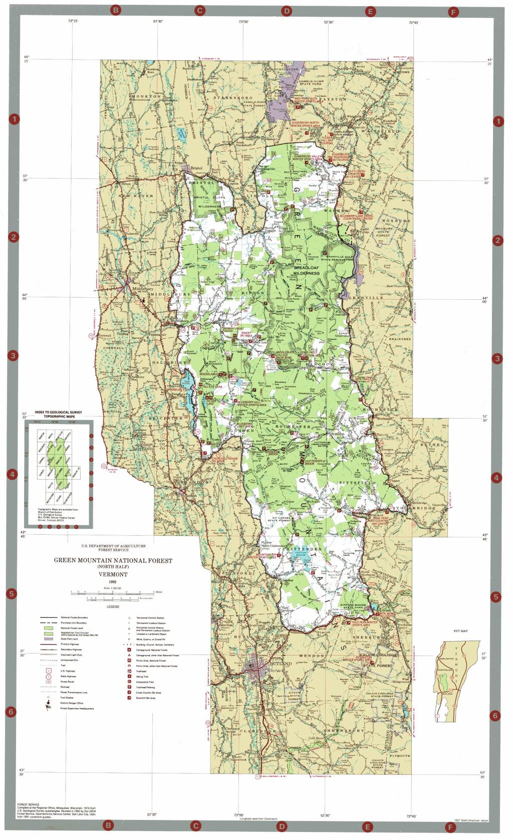
Map: Green Mountain National Forest North

More about Piseco-Powley Road...

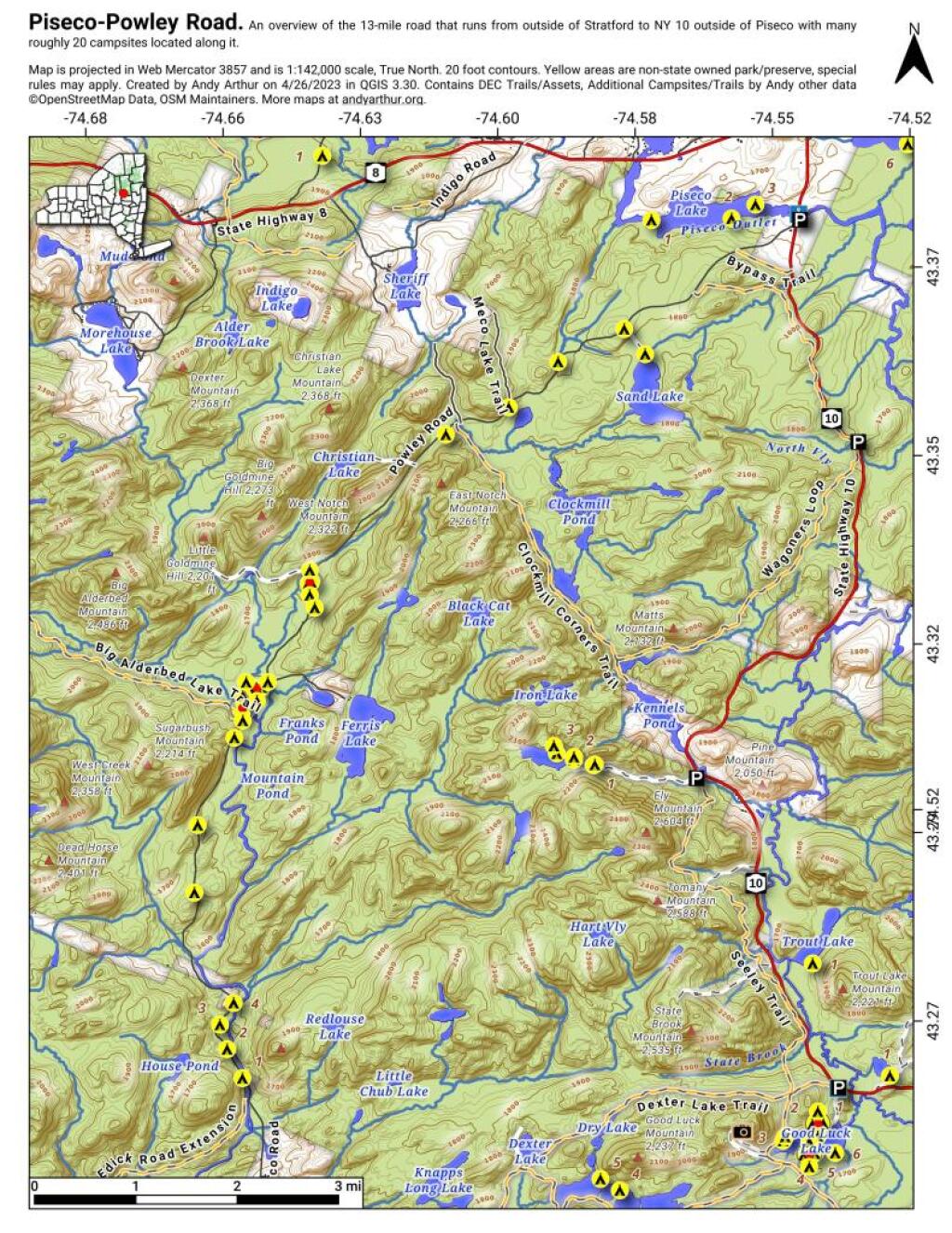
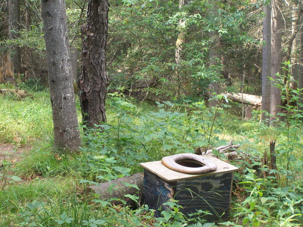
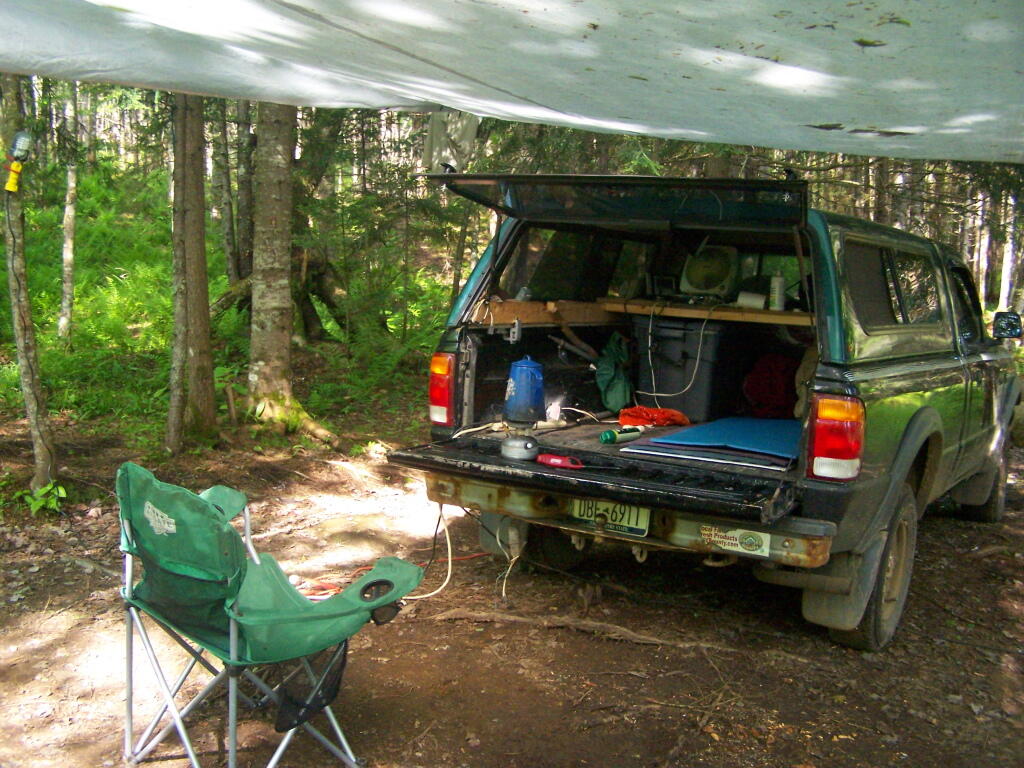
The 17-mile Piseco-Powley Road is a remote dirt route cutting through the Adirondack's Ferris Lake Wild Forest. It features 22 primitive roadside campsites, including four spots at Powley Place where the road crosses the West Branch of the East Canada Creek.

Download the PDF Map Pack with All Maps from Piseco-Powley Road.
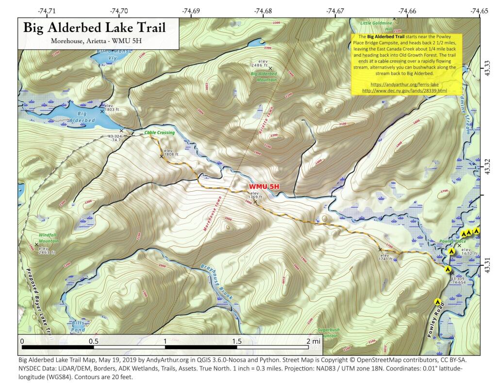
Map: Big Alderbed Lake Trail
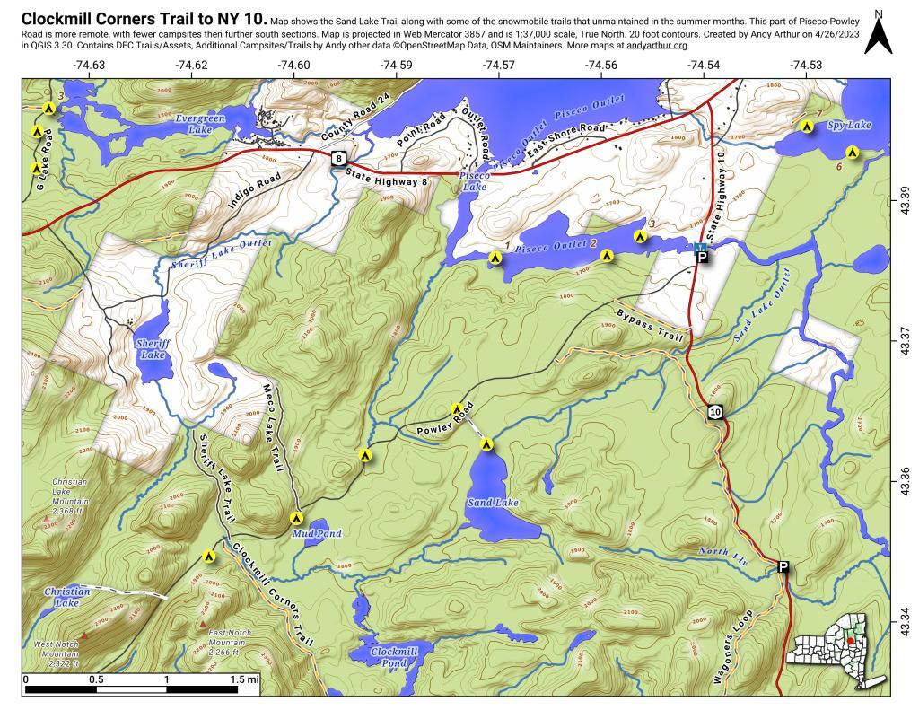
Map: Clockmill Corners to NY 10
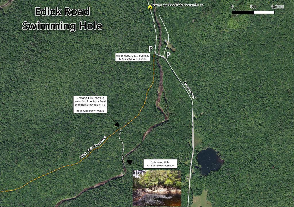
Map: Edick Road Swimming Hole
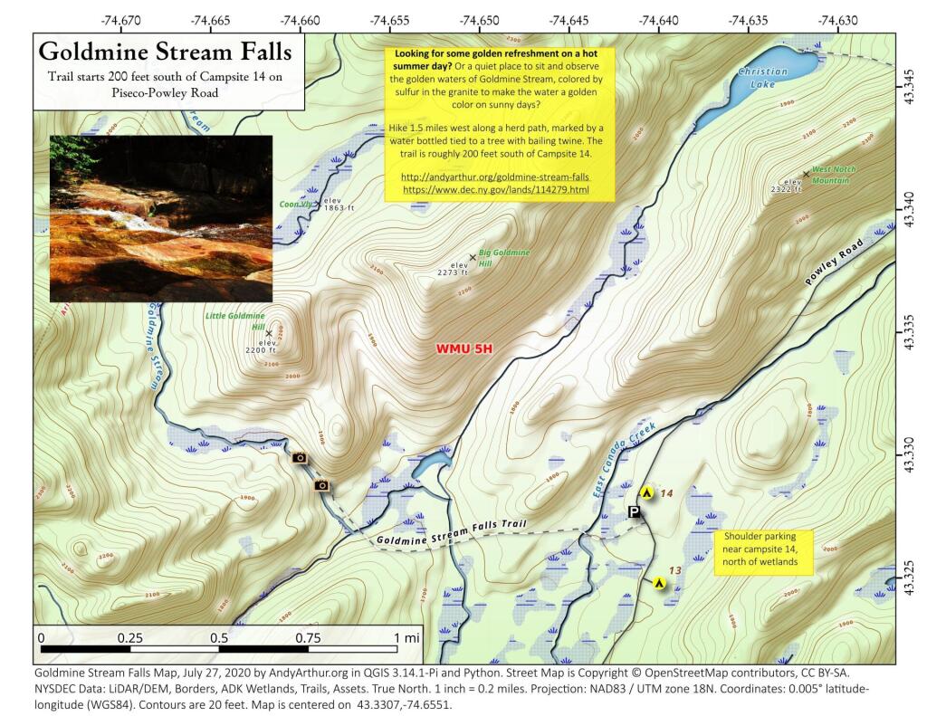
Map: Goldmine Stream Falls
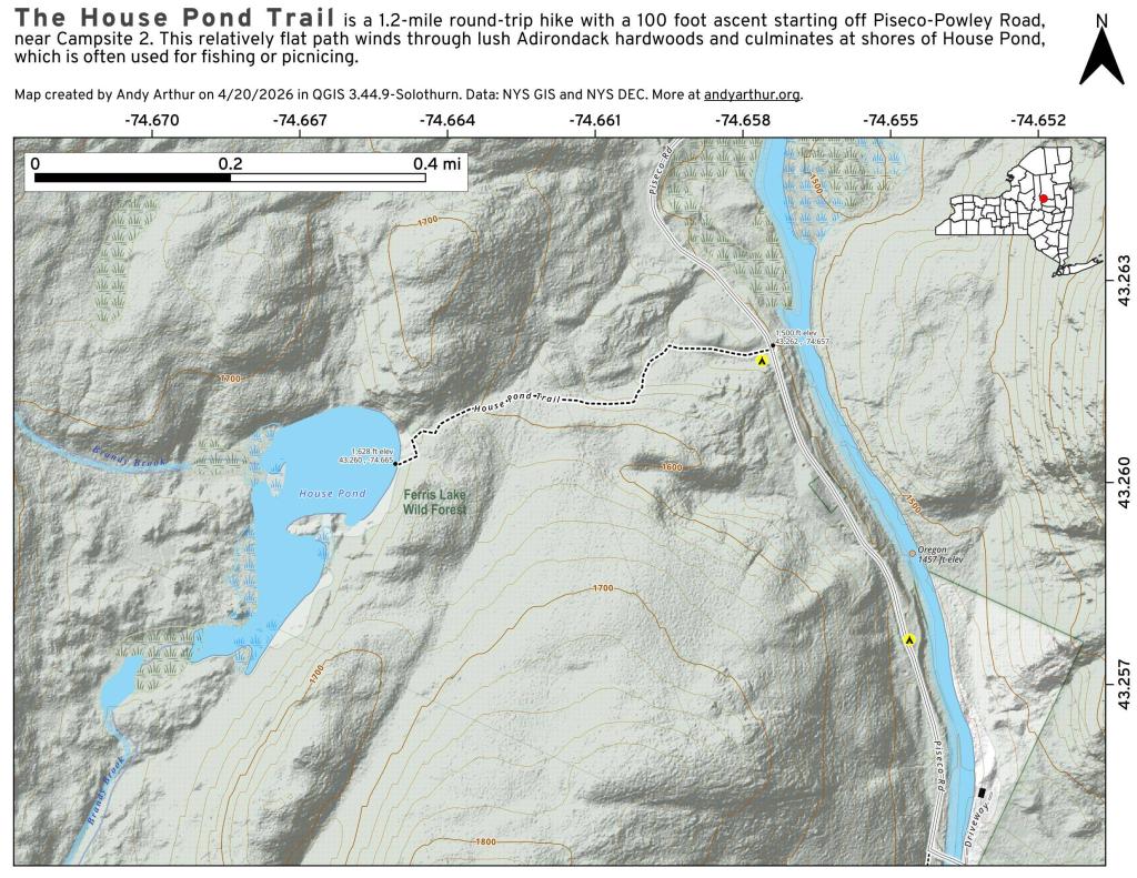
Map: House Pond Trail
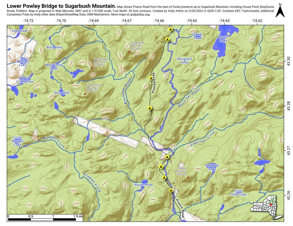
Map: Lower Powley Bridge to Sugarbush Mountain
Map: Meco Lake Trail (Piseco-Powley Road)
Map: Overview Map Piseco-Powley Road
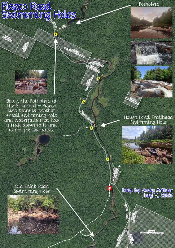
Map: Piseco Road Swimming Holes
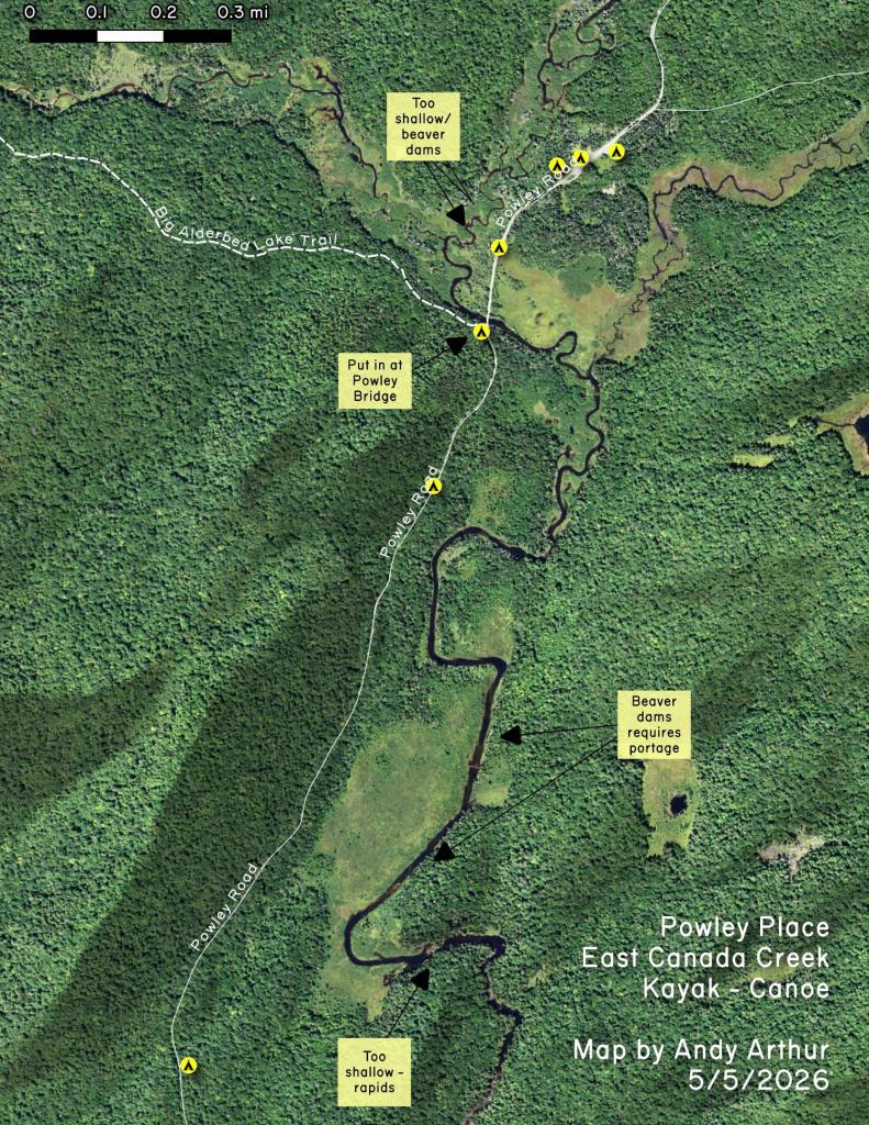
Map: Powley Place - East Canada Creek - Kayak Canoe
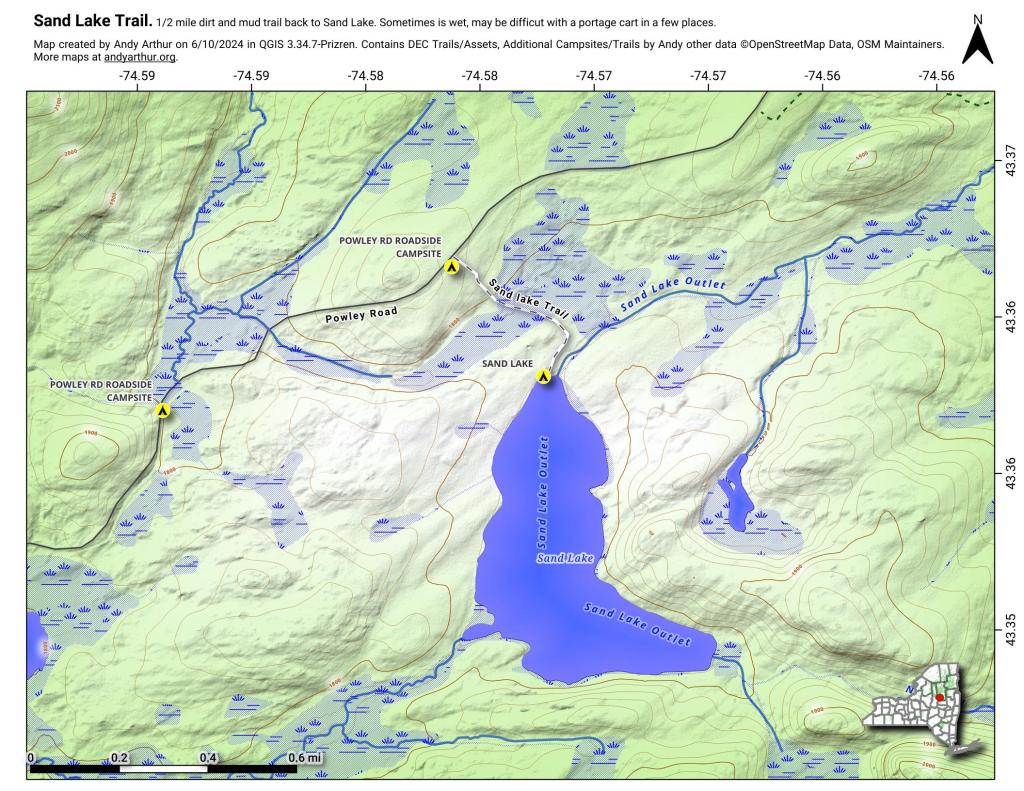
Map: Sand Lake
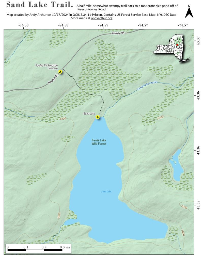
Map: Sand Lake Trail
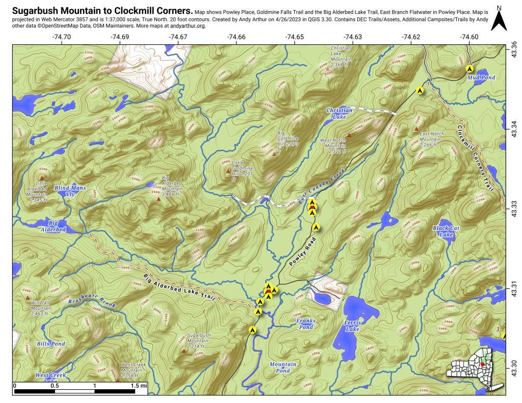
Map: Sugarbush Mountain to Clockmill Corners
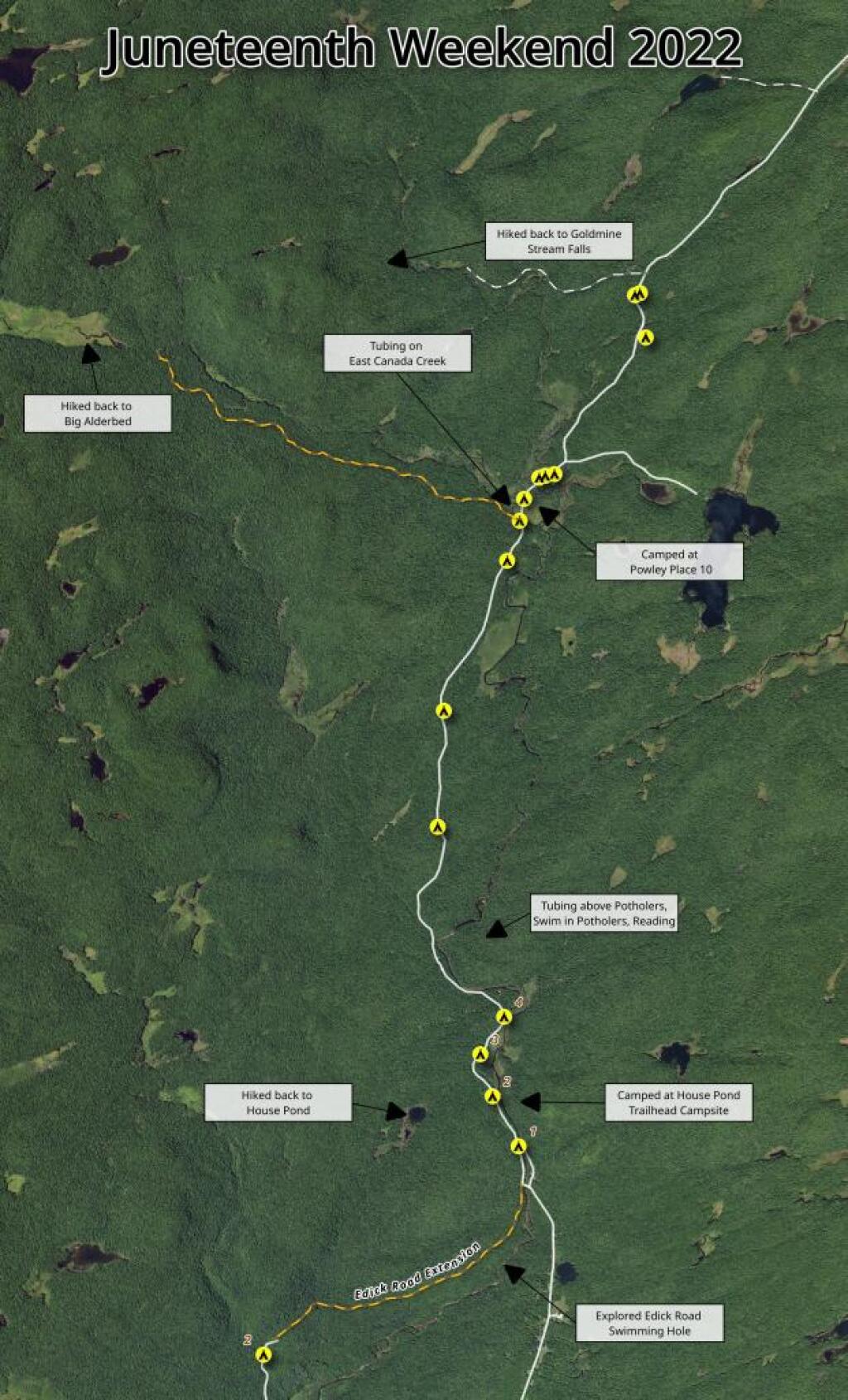
Terrain Map: Juneteenth 2022 Weekend
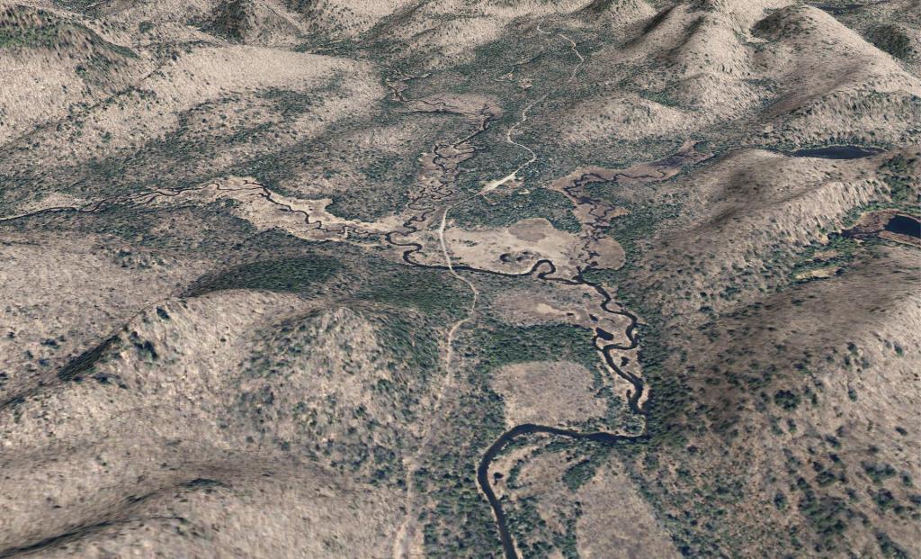
Terrain Map: Powley Road
Photo: East Canada Creek
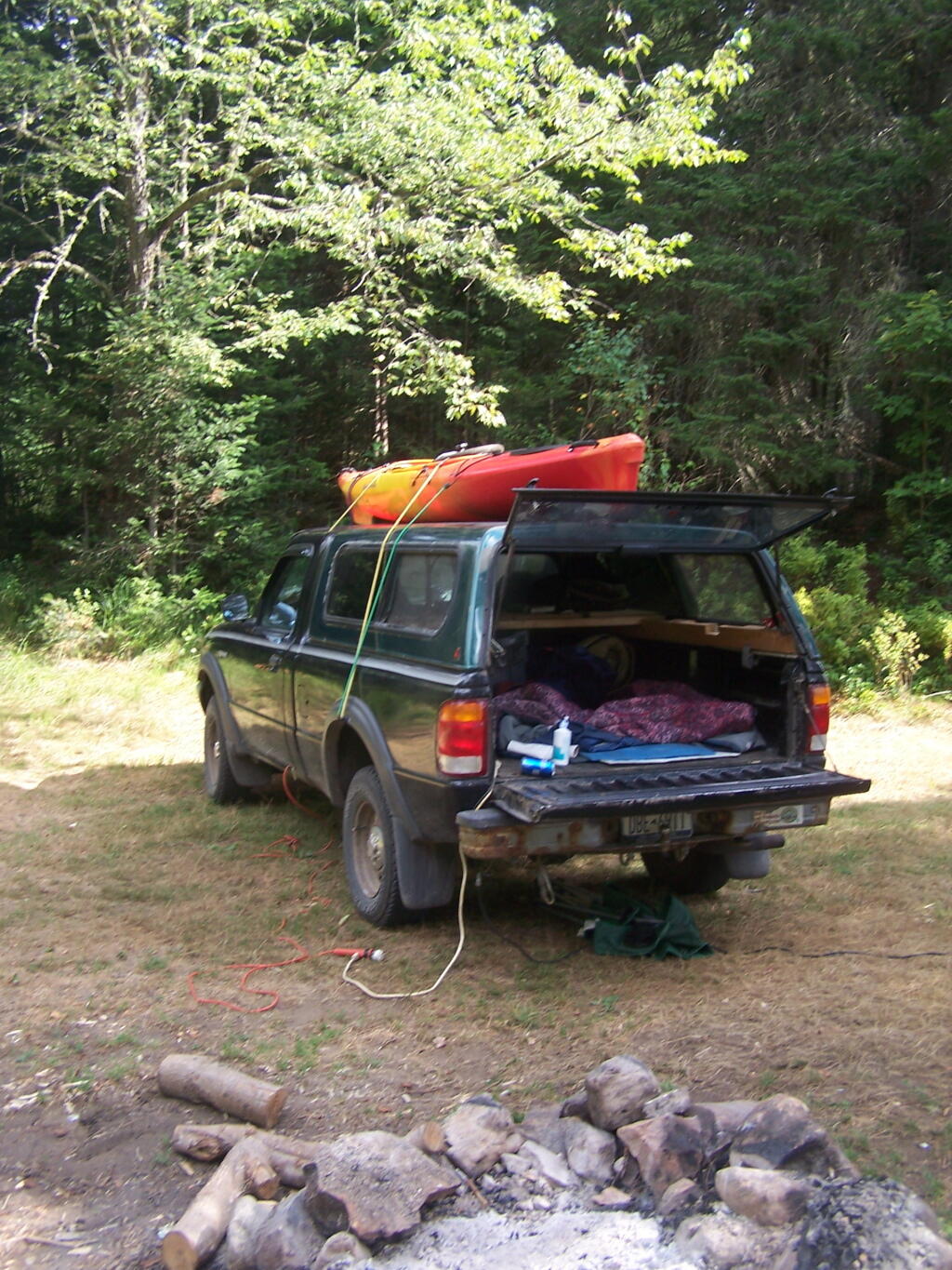
Photo: Campsite 2 on Edick Road
Photo: Cooking Breakfast
Photo: Saturday night
Photo: Green after Powley Place Wildfire
Photo: Pride
Photo: Hiding from the Bugs
Photo: Reds
Photo: The Notch
Photo: Sunset on the Trees

Leave a Reply

Your email address will not be published. Required fields are marked *