Fishing 🖼️
Download a JPEG Image of the Fishing.
Fishing ...
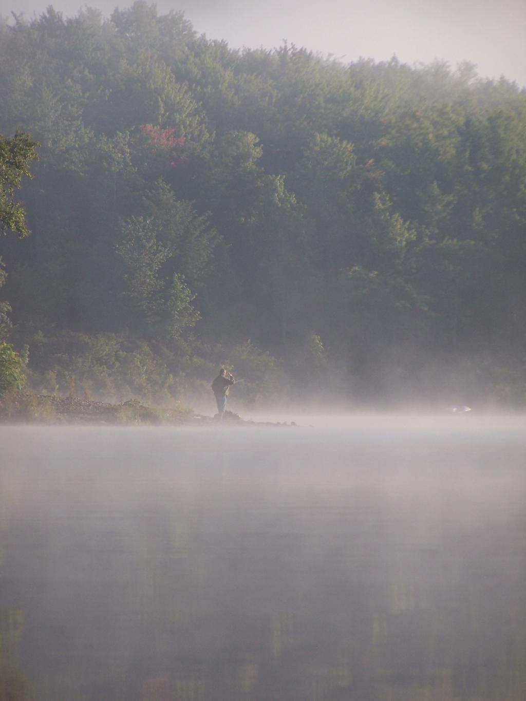
Man covers his eyes as he looks out across the water.
Taken on Sunday August 29, 2010 at Big Pond.

More about Big Pond...
At 50‐acre Big Pond, non‐motorized boats can be launched from the small parking lot. Several unmarked trails andmeadows connect a larger parking lot a few hundred feet to the south oft he lake. Big Pond is about one‐half mile north of the entrance road to Little Pond Campground on Barkaboom Road.
Download the PDF Map Pack with All Maps from Big Pond.


